-------------------------------------------------
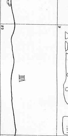
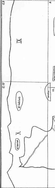
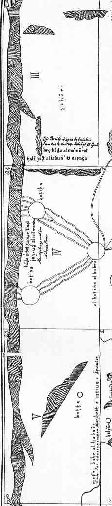
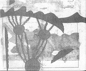
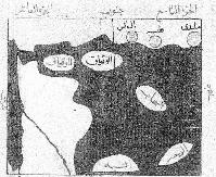
These are the different maps that show the east coast of Africa. First the sources of the Nile and later (not connecting to the sources) are the two that show the actual coast. With the only six places that he mentions. I took the pictures out of two different manuscripts and it can be noticed that one has been painted "as seen in a mirror"
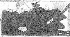
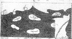
-Al-Idr�s� ;Uns al-muhaj wa-rawd al-furaj /The Entertainment of Hearts, and Meadows of Contemplation. Ed. F. Sezgin
Made 30 years after Idris death;
Uns al-muhaj wa-rawd al-fura
This last part goes up to the mountains of Djabal al-Qamar where is the origin of the Nile who goes up to Egypt�.
This climate has the land of al-Zaghawa, Ghana, Kougha, Zandj and Soufala and the islands in the Indian Sea. All those are called the land of the Soudan�..
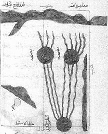
The fifth and sixth section (of the first clime) are the country called Djabal al-Qomar where the Nile starts. In the fifth section are the two small lakes who go into the big one. These two sections are sterile and no people are found there. In the fifth section starts the Djabal al Qamar which stretches to the east up to the land of Habacha. It is a very big mountain. During winter when the eastern wind is hot in Hind and in Zandj for six months, the clouds rain on these mountains, this feeds the rivers who bring the Nile Nuba and Misr into being. The Nile has its origin in the ten sources situated in the Djabal al Qamar. Five of these unite in a small lake, the other five in another small lake. Then every lake gives birth to two rivers that flow south till they reach a big lake where they unite. This lake is situated on the equator. Besides this lake is a mountain called al-Maqsam and it is from this mountain that comes the Nile of the Soudan; After this region is the one of Barbara of which the inhabitants are Soudan. Their cities are on the seacoast. They are Qaraqouna, Marka, al-Nadja, Badhouna and the villages of al-Hawiya. Between Qarqouna and Merka ther are six days by land and two days by sea. From Marka to al-Nadja it is one and a half day by sea and four days by land. From al Nadja to Badhouna is 8 days. This place is the border between the Barbara and the Zandj. The ninth and tenth section are the last part of this division. In this part is situated part of the land of t he Zandj on the east side and the complete land of Soufala. This is the extremity of the habited world in the eastern direction.