|
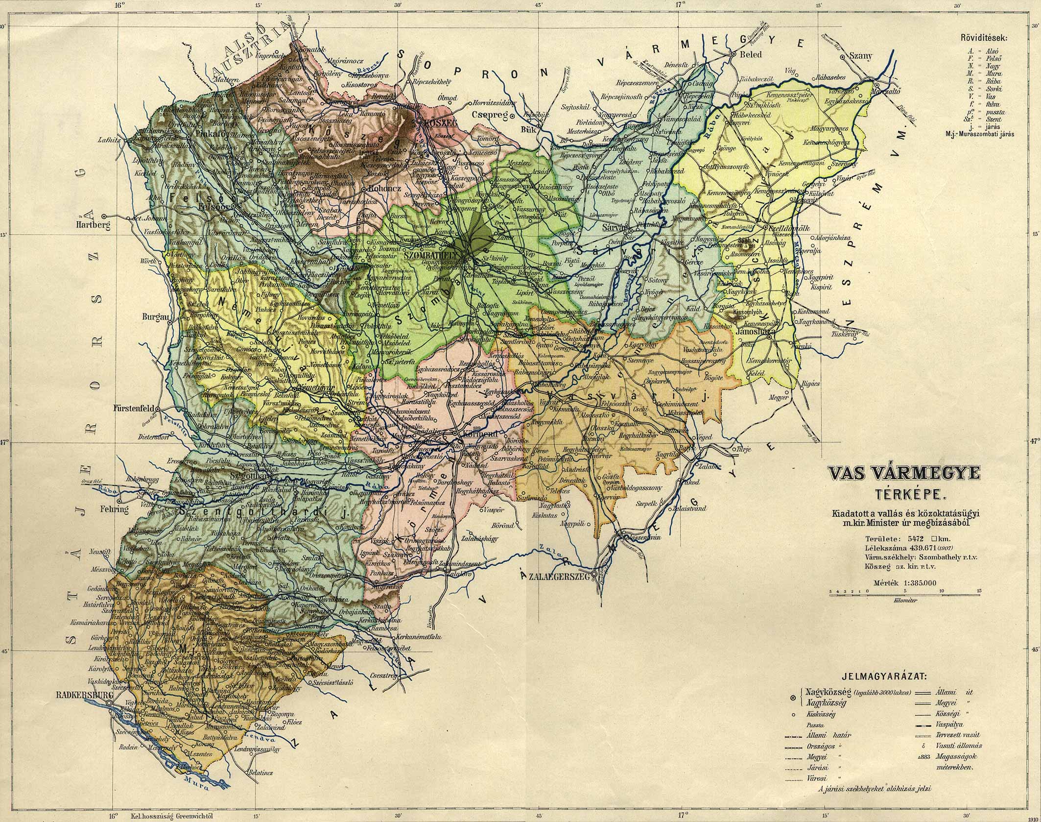
Gasztony
|
Vas
|
Gasztony, Hungary
|
just north of the Rába river, about halfway between Körmend and
Szentgotthárd (which is on the present-day border between Austria and
Hungary)
|
46° 58' N |
16° 28' E |
|
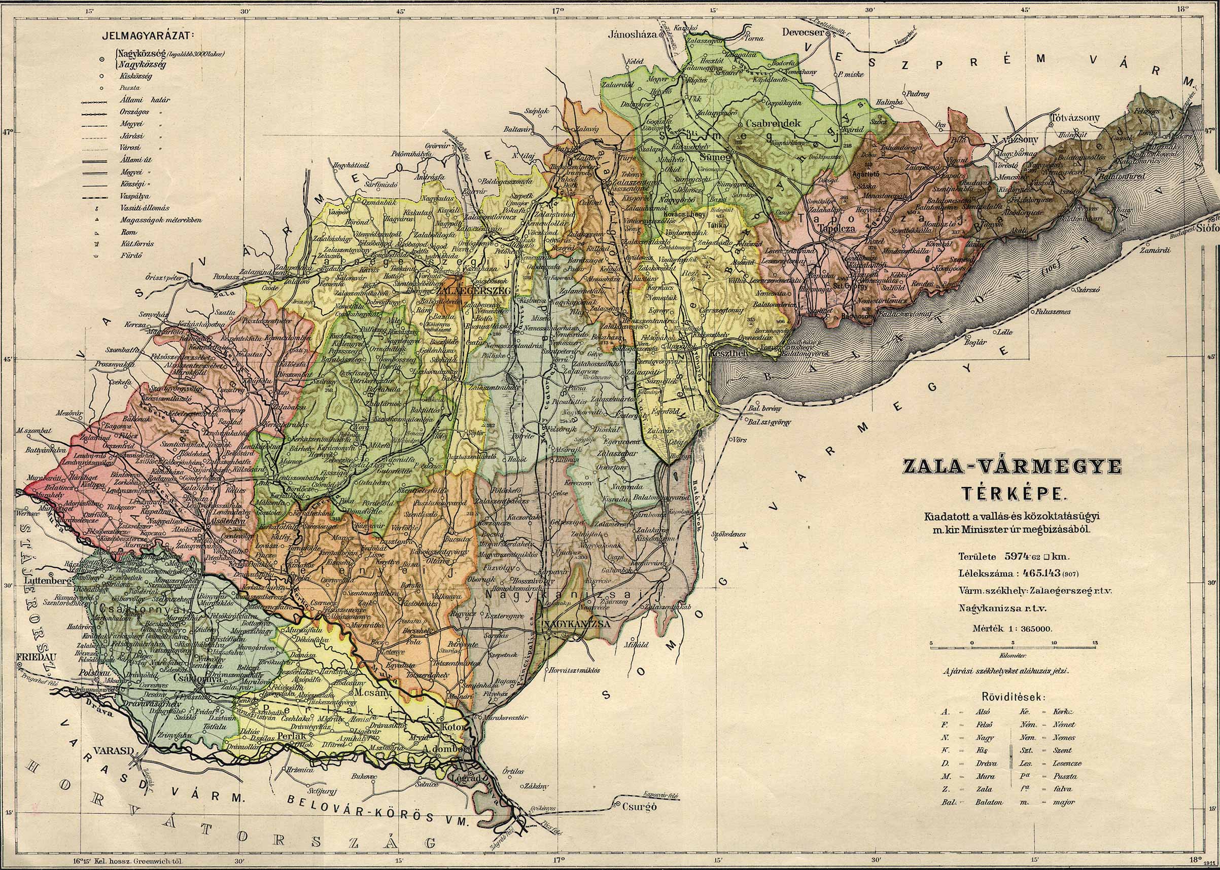
Tótfalu
|
Zala
|
?, Croatia
|
Just E of due S of Csáktornya (now Cakovec, Croatia),
close to the Dráva River; NE of Varasd (now Varazdin, Croatia).
|
46° 20' N |
16° 27' E |
|
Kerkatótfalu
|
Zala
|
Kerkatotfalu, Zala, Hungary
|
SSE of Lenti, just W. of the Kerka river; not far from the
confluence of Cseria? with the Kerka.
|
46° 35' N |
16° 35' E |
|
Kepéntekfalu?
|
Zala
|
Kerkapentekfalu, Zala, Hungary
|
NE of the Kerka river, NW of Csesztreg
|
46° 46' N |
16° 29' E |
|
Kenemetfalu?
|
Zala
|
Kerkanemetfalu, Zala, Hungary
|
NE of the Kerka river, NW of Csesztreg
|
46° 46' N |
16° 30' E |
|
Kekutas?
|
Zala
|
Kerkakutas, Zala, Hungary
|
NE of the Kerka river, N of Csesztreg
|
46° 46' N |
16° 30' E |
|
Keújfalu?
|
Zala
|
Kerkaujfalu, Zala, Hungary
|
along the banks of the Kerka river, just N of Csesztreg
|
46° 44' N |
16° 31' E |
|
(unable to locate)
|
Zala
|
Kerkafalva, Zala, Hungary
|
|
46° 46' N |
16° 30' E |
|
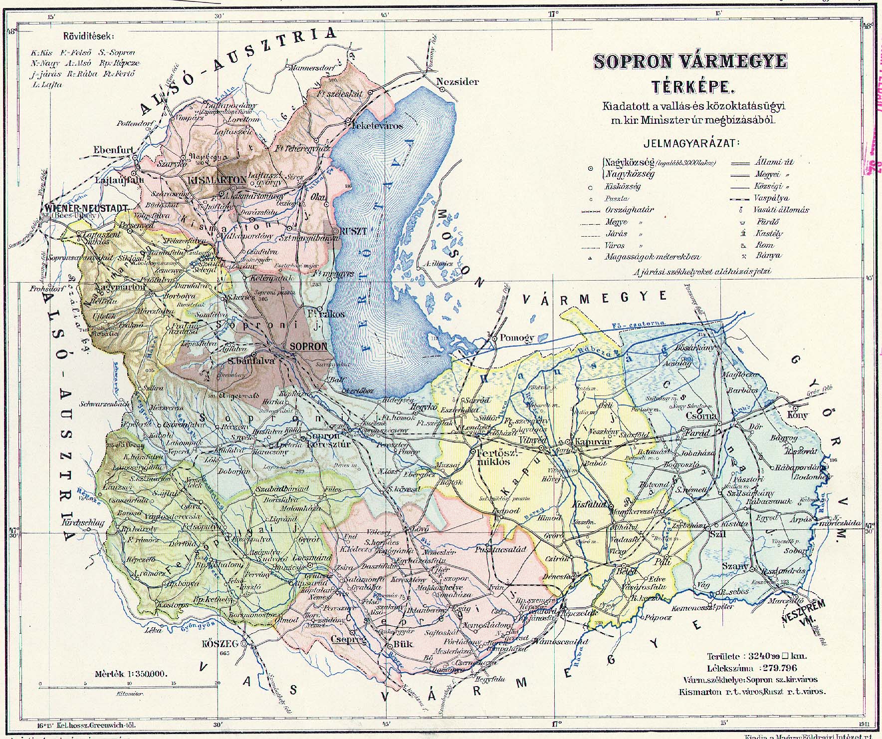
Szany
|
Sopron
|
Szany, Gyor-Moson-Sopron, Hungary
|
a small distance from the Rába river, just east of due South from Csorna;
about halfway between Vág and Sobor.
|
47° 28' N |
17° 18' E |
|
Sobor
|
Sopron
|
Sobor, Gyor-Moson-Sopron, Hungary
|
on the Rába river, SSE of Csorna; ENE of Szany.
|
47° 29' N |
17° 23' E |
|
Bágyog
|
Sopron
|
Bagyogszovat, Gyor-Moson-Sopron, Hungary
|
|
47° 35' N |
17° 22' E |
|
Vág
|
Sopron
|
Vag, Gyor-Moson-Sopron, Hungary
|
almost on the Rába river, just west of due South from Csorna.
|
47° 27' N |
17° 13' E |
|
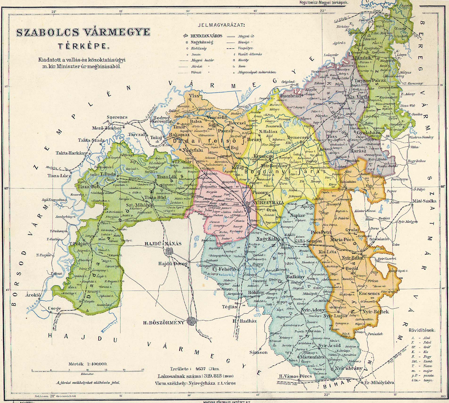
Ibrány
|
Szabolcs
|
Ibrány, Szabolcs-Szátmar-Bereg, Hungary
|
a small distance from the river,
|
48° 8' N |
21° 43' E |