![]()
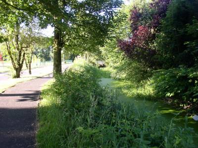
After crossing the river, the canal feeder runs alongside Woodhill Road for 400 metres, first south-eastwards on a low embankment, then due south next to the footpath towards Brandlesholme Road. |
|
After this the feeder veers off across a field behind Calrows Farm and is difficult to follow. It can be picked up again by continuing to the end of Woodhill Road where it joins Brandlesholme Road, and turning right onto Brandlesholme Road. Approximately 200 metres up Brandlesholme Road, at the side of the recently converted old cotton mill building between Woodhill Street and Prospect Terrace, the canal feeder can be seen passing underneath the road. | |
| OS Map Ref SD 795 116 | |
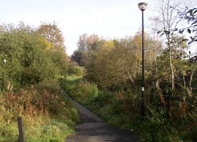
After crossing Brandlesholme Road the feeder turns 90 degrees to the left in a wide loop, that at first follows the footpath linking Brandlesholme Road to Bank Place, off Tottington Road. |
|
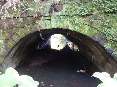
A tunnel was constructed to allow Kirklees Brook to flow underneath the canal feeder and footpath at this point. |
|
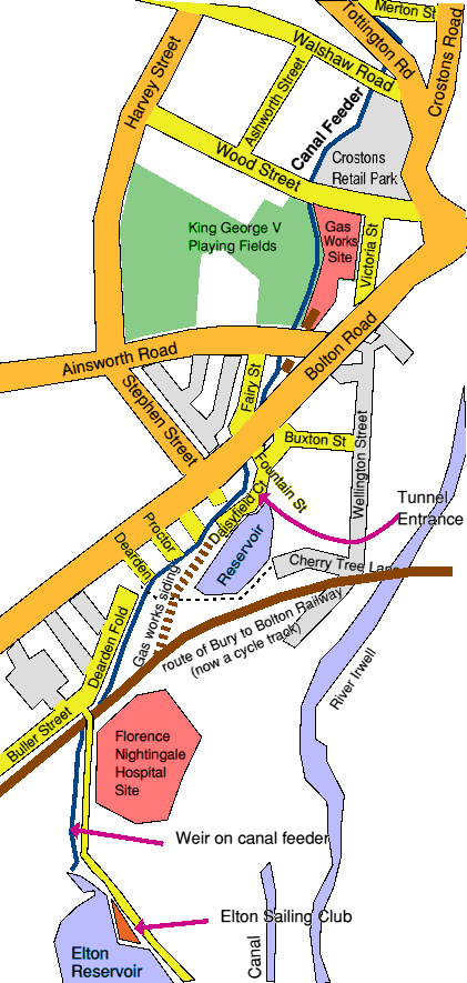
Next the canal feeder passes across the end of Merton Street and Hulme Street. |
|
The feeder then flows alongside Tottington Road for a short distance before making a sharp right turn underneath Tottington Road and Walshaw Road, near their junction.
|
|