Mountains and Desert
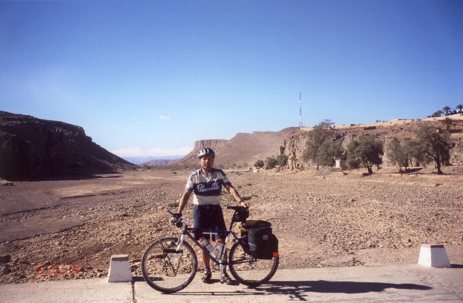
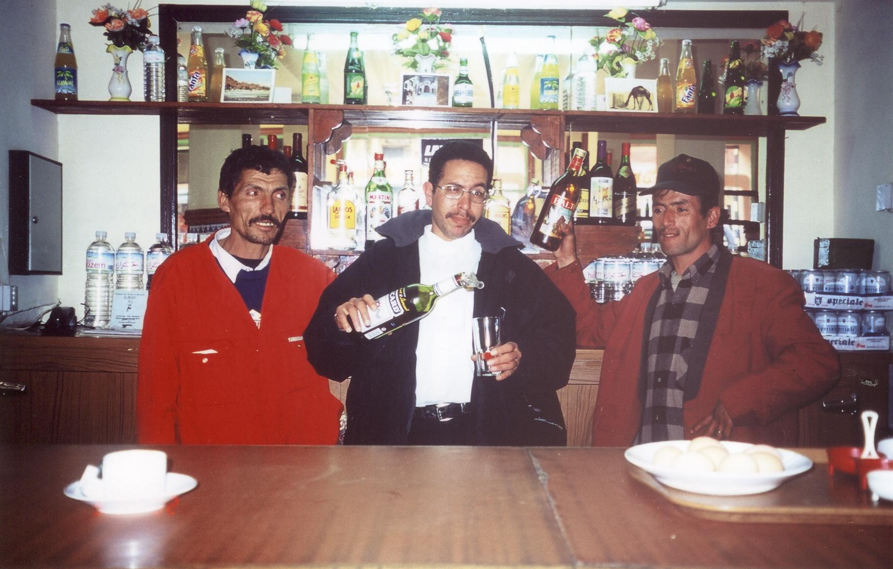
This trip didn't get off to a good start. Both my panniers and my bike did not reach Morocco with me. My panniers did arrive on a later flight but my bike took 3 more days to get to Morocco. In spite of the stressful start this trip ended up being the most memorable of all my trips.


$43 canadian / day
Lonely Planet MOROCCO 4th ed, 1998
115 dirhams / day ( from 35dh to 250)
$1 canadian = 6.65 dh in 2002
$1 usa = 10.36dh in 2002
Michelin # 959 MOROCCO
1/1 000 000 - 1 cm = 10 km's
Adventures of Morocco
LonelyPlanet's Thorntree-Morocco

Total 1424
Longest 156
Shortest 31
Cycling Days 16 out of 23
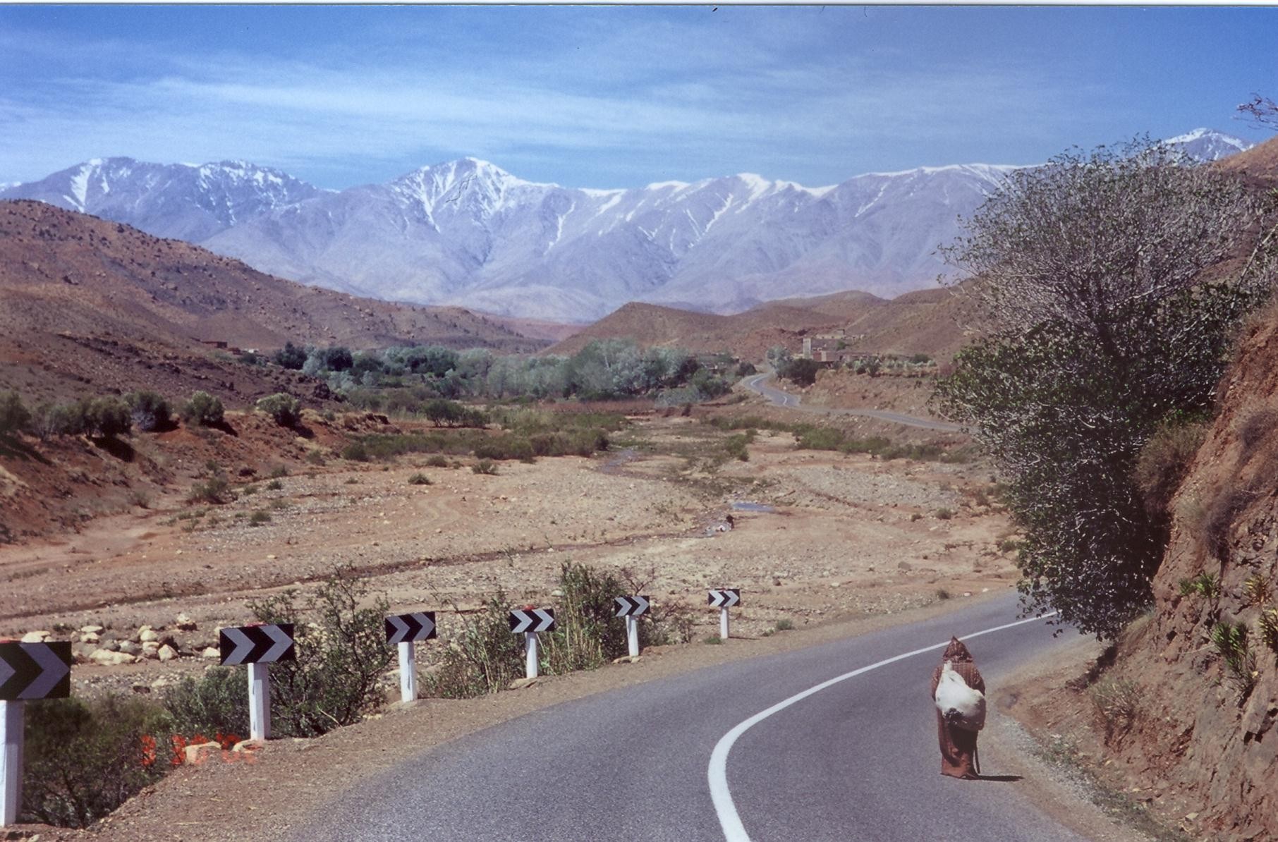
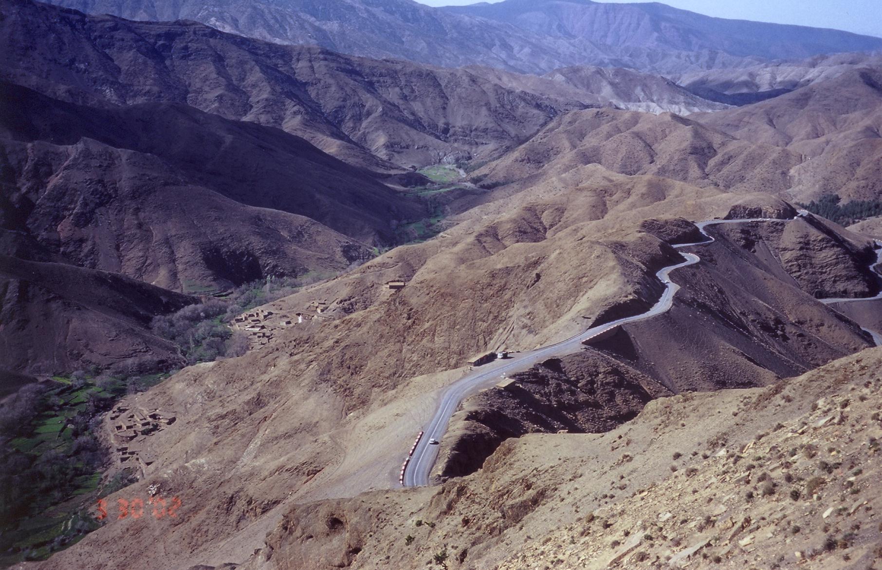
Starting from Marrakech my route took me to the following towns;
Taddert 91
Ouarzazate (by bus) 31(around town)
Boumalne du Dades 113.5
Gorges du Dades + Tinehir 114
Erfoud 140
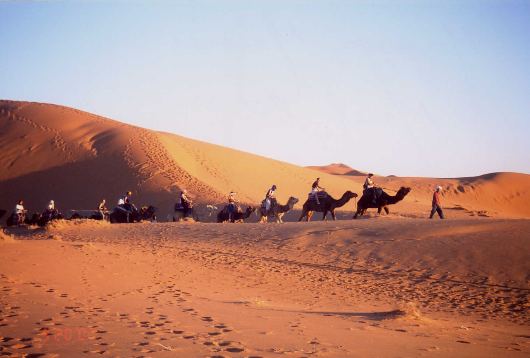
Merzouga 52
Rissani 42
Tazzarine 156
Nekob 32
Zagora 105
M'Hamid 94.5
Zagora 94.5
Agdz 92.5
Ouarzazate 70
Taddert 105
Marrakech 91

Steve&Kate BikingMorocco 2007/8
Frederic Hore's RemarkableMorocco 2006
Anthony Sloan's Morocco. Awesome!!
Hadrien's OnTheRoadAgain by bike 2006
Nicolai's Morocco Bike Trip Nov. 2005
Tanya/Richards MoroccoHighligts 2005
Stephen's SAHARA Adventure 2004
Matt's MntnBiking HighAtlasMntns2003
NickJenkins Marrakesh to Merzouga 1999


[email protected]