JALISCO and COLIMA
This two week trip in January 2008 began in Puerto Vallarta. From Puerto Vallarta, I cycled south (mostly on Hwy 200) as far as Colima visiting El Tuito, Punta Perula, Manzanillo, Melaque, Barra de Navidad,  Tecoman, and Comala.  I then retraced my route back to Barra where I enjoyed a couple of days of sun and surf before returning to PV by bus.
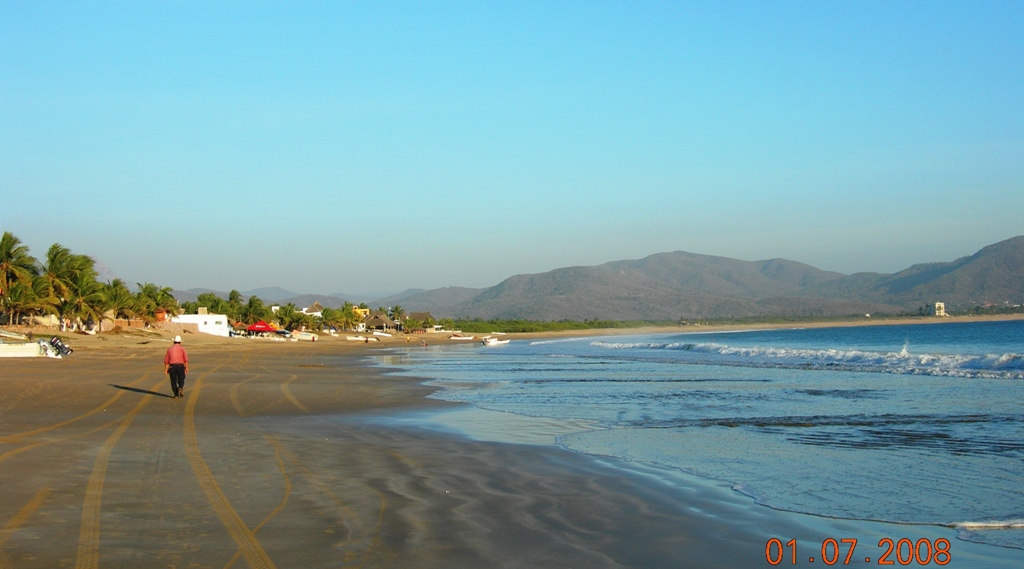
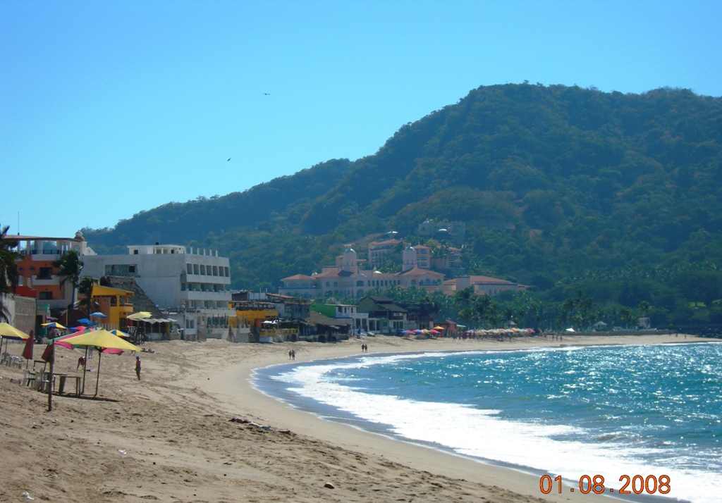
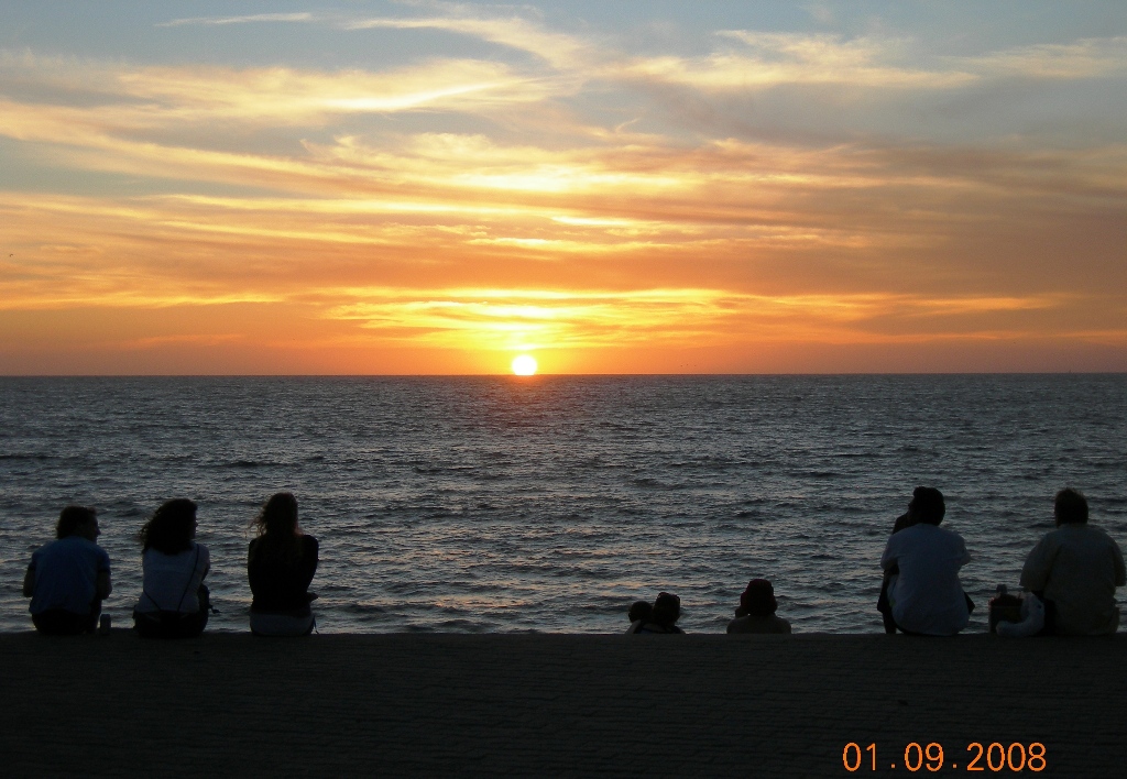
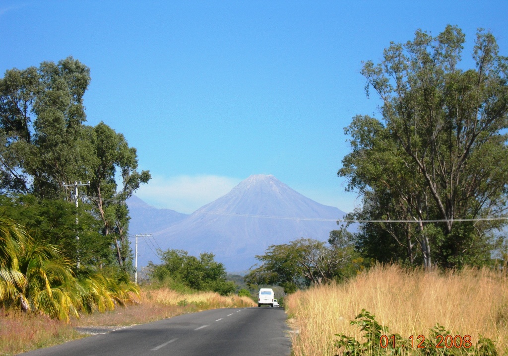
The weather was just perfect for cycling. Except for the very last day in PV it was always sunny and dry. Temperatures reached at least 30 celcius by noon but it was always a dry heat. Winds were not a factor on my route.
The roads between towns are all paved and in good condition however cobblestones seem to be used inside all towns making cycling through them a very unpleasant and unstable experience. Paved shoulders are rare and there are many blind  turns in the hills where you have to be extremely careful with traffic. Traffic for about 20km in and out of PV and Manzanillo is horrible. Elsewhere it's not really a problem.
SUPERSIZE the photo! Click on it!! Hold the cursor over the pic to read MY COMMENTS
PV is definitely not a bike friendly town. The heavy traffic and the cobblestone roads make for a very unpleasant experience.
PV is just another overdeveloped resort town. Its really quite dull. I'ld much prefer staying in Acapulco or even Cancun if I had to stay at a resort. My GUIDEBOOK and MAP
LonelyPlanet
Mexico's Pacific Coast -1st ed. 2003
InternationalTravelMaps
Mexico South (1:1350000)
PUERTO VALLARTA
See my ROUTE MAP
Click me to see my route map.
From PV to El Tuito its all uphill. Its the longest most strenuous climb on this trip. After you leave the coast and traffic behind at Boca de Tomatlan the road climbs steeply into lush jungle vegetation and the ride becomes very quiet.
For about 20km south of PV, Hwy 200 is lined with condos and hotels obscuring spectacular views of the coastline. You do still get glimpes of the Pacific - like this pic - but they're rare. After climbing to about 1000m altitude you descend quickly to this small town. The center is a couple of km off of Hwy 200 where holiday festivites were taking place with music, food and games and rides for kids. The evening ended with a religious procession dedicated to the Virgin of Guadaloupe.
My Daily COSTS
            1 dollar canadian = 10.1 pesos (p)

BEER = 6p (store) or 12-15p (rest)   H2O =10 - 15p
COFFEE =10 - 15p   JUGO =10p   LICUADO = 15p
DESAYUNO = 30-40p  COMIDA / CENA = 40 -100 TACO = 3 - 8 p each HAM+CHEESE TORTA = 14p
ROOM (single) = 180p -1100p / Ave = 349p
CABO CORIENTES Coastline
EL TUITO
HWY 200 to EL TUITO
With only a few small hotels and a string of palapa restaurants along the waters edge this quiet, unspoiled beach is a great spot to watch sunsets while sipping on a cold cerveza.
Some of the prettiest scenery as seen from Hwy 200 occurs as you cycle south of Punta Perula on the way to Barra de Navidad. I arrive in Barra in early afternoon as the temperatures soar to the mid 30's. I really like this mellow easy going town.  A great place to spend a week or two or even longer like all the Canadians that have built themselves beautiful homes here.
Even though Barra is a little more touristy and developed than Punta Perula it hasn't lost much of its natural beauty .
HWY 200
PuntaPerula - Barra
PUNTA PERULA
BARRA DE NAVIDAD
Lunch time!! Time to enjoy fresh seafood soup and a beer as waves crash below me on the beach Enjoying beautiful sunsets is a nightly ritual while travelling down Mexicos Pacific coast. They 're especially glorious in Barra.
Even though Hwy 200 runs relatively close to the coast there are very few views of the Pacific. Dense jungle vegetation and the surrounding hills get in the way. This spot is about 15km north of Barra as you reach the summit  of a long climb.
My Online RESOURCES
Basil at BikeMexico Bike Tours
Tom's
PacificCoast of Mexico
LonelyPlanet's
The Thorntree
JR's
PuertoVallarta Info Guide
Scott Parks
Mexico Living
HWY200 north of Barra
Heading towards the old town, I stop to rest and admire the view after a stressful and frustrating 20km riding on cobblestone roads next to bumper to bumper traffic. Normally the arcaded sidewalks around the City Hall are jammed with visitors and local shoppers but on Sunday afternoons lonely shop-keepers wait patiently for customers to return.
Riding a bike, I didn't have to pay the toll. Most local motorists use the non-toll road so traffic is light and there's even a paved shoulder to ride on.
Running slightly higher than the regular road you actually get many views of the Pacific on this stretch of my route.
MANZANILLO
HWY200-toll
TECOMAN-MANZANILLO
HWY200-toll
TECOMAN-MANZANILLO
MANZANILLO
A few km's south of Colima I stop to admire the view before I begin my descent back to the coast. This stretch of my route has a wide, paved shoulder and is used by racing cyclists as a training route. The same pelotons passed me on both days I cycled this road.
ITINERARY and DISTANCES (km)
Airport to PV center                                                  14
PV north to
BUCERIAS return                                   54
PV south to
PEDRO MORENO return                        76
PV to
EL TUITO                                                  44 +12
El Tuito to
PUNTA PERULA                                    101
Punta Perula to
BARRA DE NAVIDAD                      83
Barra to
TECOMAN                                                 125
Tecoman to
COLIMA                                                48
Colima to
COMALA return                                        32
Comila to
MANZANILLO                                           96
Manzanillo to
BARRA DE NAVIDAD                         63
Barra north to
SUMMIT - return                                 35
PV bus station to
Hacienda Hotel and Spa                6
Hotel to
AIRPORT                                                       4

                  
TOTAL DISTANCE =  793
Colima is a beautiful city!! Its clean, bright, modern with lush public squares filled with colourful, flowering plants and bordered by exquisite colonial structures. Volcan de Fuego, only 30km to the north, looms above the town.
HWY110 TECOMAN-COLIMA COLIMA
From Comala I continue to cycle towards the volcano but I eventually give up on trying to get to San Antonio due to fatigue and weakness brought on by a case of diahrrea.
About 10km north of Comila, this village allows you a closer look at Volcano de Fuego. Locals however come for its fine handicrafts and its leafy plaza and church.
VOLCAN DE FUEGO
Comala 2 San Antonio Road
COMALA
Related TRAVELOGUES by others
Karen and John Pooles MEXICO'S PACIFIC COAST bike ride            2005
Anna Wexlers
PACIFIC COAST NORTH OF ACAPULCO bike ride       2005
S. Parks
SPARKS MEXICO Blog
Virtual
VALLARTA
To read comments left by guests until Feb 2008 click on the book!
Hope you left a short comment in the GUESTBOOK!! Thanks!!
Questions ? Just email me at
[email protected]
HomeSweetHome!! There's no place like HOME!!
Hosted by www.Geocities.ws

1