
Basically Egypt is really part of the Sahara Desert, which runs all across the top of Africa. However Egypt is one of the most fertile areas of Africa, and one of the most fertile of the countries around the Mediterranean Sea. Because it is so fertile, people came to live in Egypt earlier than in most places, probably around 40,000 years ago.
The ancient Egyptians thought of Egypt as being divided into two types of land, the 'black land' and the 'red land'.
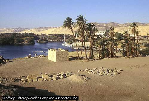
The 'black land' was the fertile land on the banks of the Nile. The ancient Egyptians used this land for growing their crops. This was the only land in ancient Egypt that could be farmed because a layer of rich, black silt was deposited there every year after the Nile flooded. The Nile is a big river. It starts in the rain forest south of Ethiopia, south of Egypt,and it flows north into the Mediterranean Sea.
The 'red land' was the barren desert that protected Egypt on two sides. These deserts separated ancient Egypt from neighbouring countries and invading armies. They also provided the ancient Egyptians with a source for precious metals and semi-precious stones.
The ruler of ancient Egypt was called the Pharaoh. The Pharaoh owned all of Egypt, and everything in it. All the land, all the tools, all the animals, and all the people.