Where to: Auxier Ridge Trail/Courthouse Rock Trail/Auxier Branch Trail/Double Arch Trail
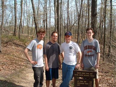
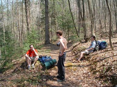
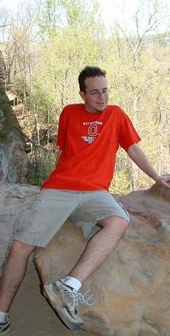
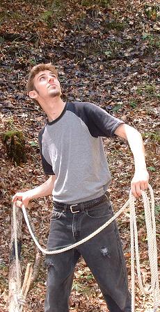
In Attendance: Money, Stophs, Pappen, Whit
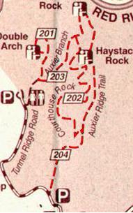
There are more than one ways to complete this circuit.
We began at the Auxier Ridge Parking Lot off of Tunnel Ridge Road. We then followed Auxier Ridge Trail till it ran into Courthouse Rock trail (about 1 mile). We then took that trail to Auxier Branch Trail, set up camp, and continued to Double Arch. In the morning we hiked out by way of Auxier Ridge Trail. Feel free to take any path you which.
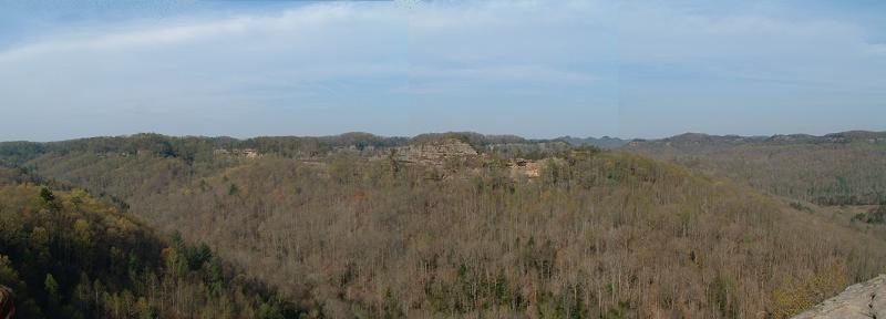
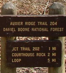
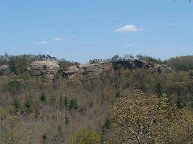
The first mile of the hike on Auxier Ridge Trail is relativelty uneventful. . .few good views and flat terrain. All that changes when you reach Courthouse Rock Trail.
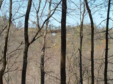
As soon as you start on Courthouse Rock trail you will know that it is a strenuous trail. It begins with a steep descent to the valley. We went in the spring, and the trail was practically overgrown with rhododendron. The trail winds along the base of Auxier Ridge for 2 miles to the Auxier Branch Junction. It is up and down the entire way, and offers little in the way of gorgeuos views. The best view is of Double Arch, and that may even be covered once the leaves reappear. On the upside, the trail does offer a good taste of the ruggedness of the Gorge that one may not be able to experience on the flat ridgetop trails. If you are short on time, though, see Auxier Ridge and Double Arch trails before this one.
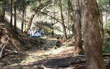
This .8 mile trail runs along Auxier Creek, which seperates Auxier Ridge from Double Arch. We quickly realized that the best thing about this trail is campsites. There are at least 4 campsites dotted along the creek, and all of them are of good quality. We set up camp at the smallest of the four, because it was near the creek and relatively out of sight from the trail. We set up our tents, took a quick break and stocked up on water. We then headed out to Double Arch. The trail is relatively easy and easy to keep footing (unless you're Whit). The last .2 miles of the trail, however, lead away from the creek and up toward double arch. This part of the trail is rather strenuous going up, but coming down is a breeze.
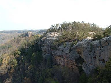
Let me begin by saying that Double Arch is a MUST SEE. The trail is exciting and the view is incredible. With that said. . .
The view from under the arch is incredible, and it provides a great breeze and some shade. The perfect place for a granola break. The other great thing about double arch is the play value. When we got up, we took a little break to snack on granolas and enjoy the view, and then began to explore. Just to the right of the opening is a small path that can be taken to the top of the arch. The view keeps getting better and better. We were very liberal with our time spent there because it was our last event for the day. You can continue back along the top of the ridge, but it gets very steep, rocky and dangerous so I would not recommend it. If you decided to perform any physics experiments to see how high the arch is from the ground below, just keep in mind the trail at the base of the ridge. Once we had had our fill of Double Arch, we headed back to the campsite.
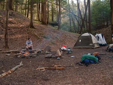
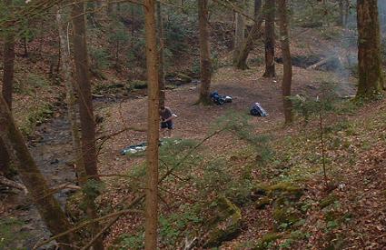
After walking the entire distance of Auxier Creek Trail, we found that another of the campsites was too good to pass up. We proceeded to pack everything up and move it to the second campsite. We spent the evening relaxing around the fire, exploring around the campsite, and doing stupid stuff on camera. When the sun began to fall, Pappen was already asleep and Stophs, Whit, and I were naturally messing with him. Finally Whit fell asleep. . .then the strange things began to happen. To recite these events to you now would bring back to frightening of memories, so I will just say that the site has been named Haunted Creek Campsite.
In the morning we packed our bags and headed back up toward Auxier Ridge. When we got to the Courthouse Rock junction, we took the direction in which we were going the day before, so that we wouldn't have to backtrack.
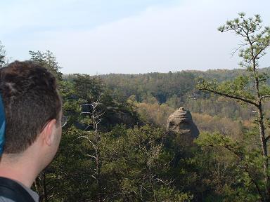
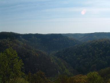
At the end of Courthouse Rock Trail, a set of stairs leads up to the beginning of Auxier Ridge. The trail is pretty straight forward from that point, about 3 miles, back to the parking lot. Auxier Ridge is more than just a good view--it is an experience. I'll let the pictures speak for themselves.