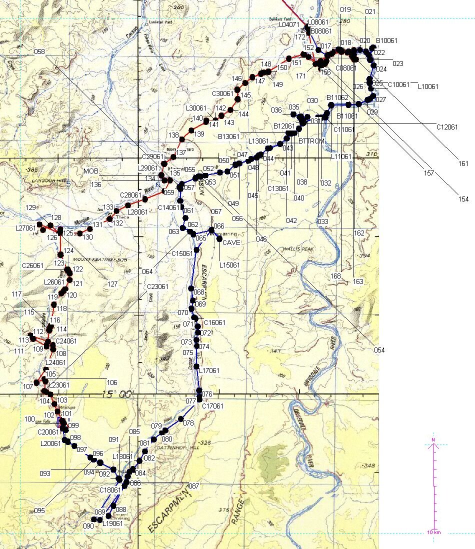
We did the walk in the Drysdale NP with Willis's Walkabouts, an Australian tour operator specialized in long camping-and-walking trips. The Drysdale trip was divided into 2 sections; The first section southward toward the Morgan falls, the second section from there northward again. The map shows the route, in which the points are GPS co-ordinates as recorded by Daan Stegeman. The names have the following meaning:
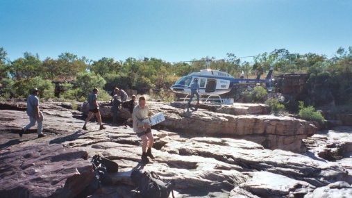
Midway, at the Morgan falls, 2 helicopters came in to bring extra food for the 3 people (amongst whom were Daan and me) that continued with the second part of the trip. Those that only did the first section were being flown out, and the new people for the second section were being flown in.
Helicopter meeting at Morgan Falls, connection of Drysdale-trip parts 1 and 2
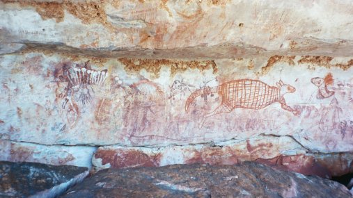
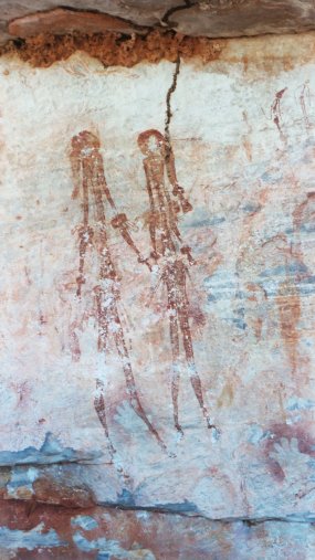
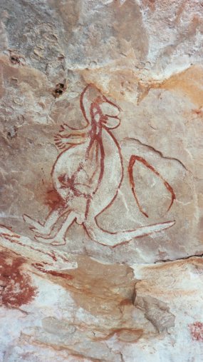
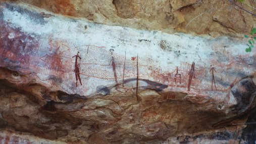
We found lots of rock art on the Drysdale trip, although they were not always easy to find. Due to previous trip notes, and relentless searching by Colin Johnstone, we encountered several very good sites.
Drysdale Trip Part 1
|
Rock art on Drysdale side-creek |
Rock art on Drysdale side-creek |
Rock-art shelter on Drysdale side-creek |
Drysdale Trip Part 2
|
Kangaroo-drawing within kangaroo-drawing |
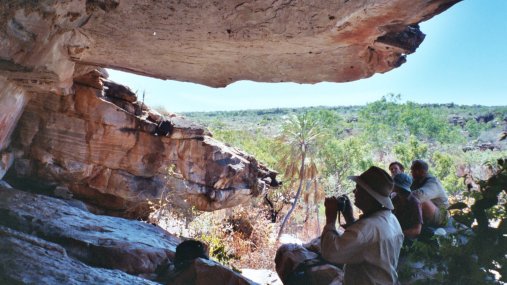
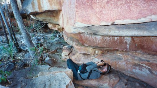
Photographing rock art |
Rock art |
|
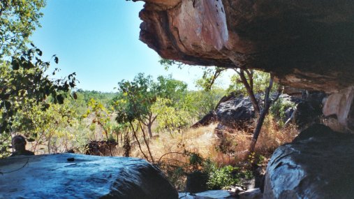
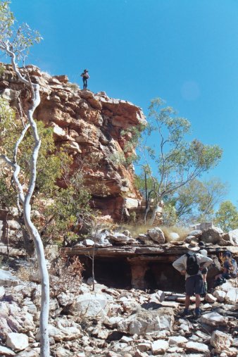
Shelter in which we found rock art |
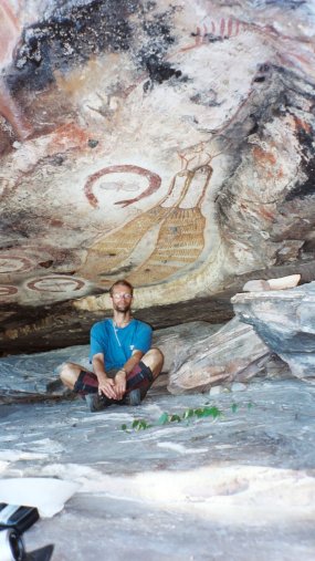
Rock art with tourist (me) |
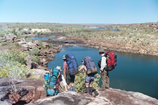
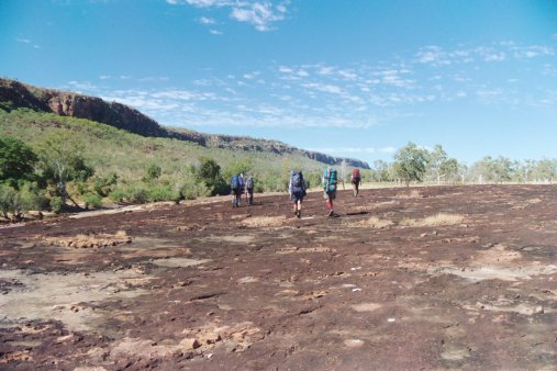
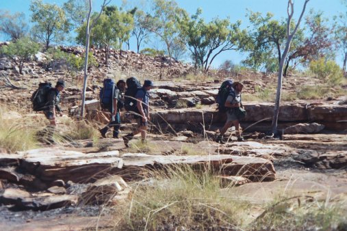
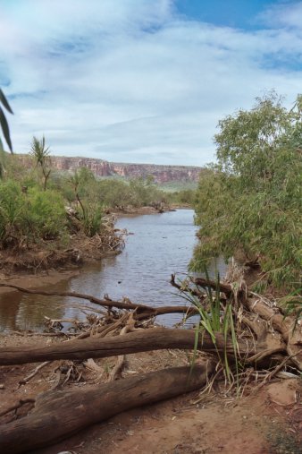
The Drysdale was hard to walk along, because of lots of rock hopping and the loose sand. The walk from the Drysdale to the Carson to Palmondoora Creek (Morgan Falls) was over uninteresting terrain: Burnt open woodland, or high speargrass, with lots of cattle and flies. Palmondoora Creek had interesting terrain again.
Drysdale Trip Part 1
|
Rock hopping along Drysdale river |
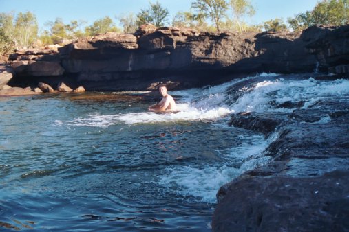
Relaxing above Solea falls |
|
Easy walking along the Carson river |
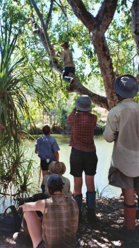
Picking figs (all spoiled) along Palmondoora creek |
Drysdale Trip Part 2
|
Walking |
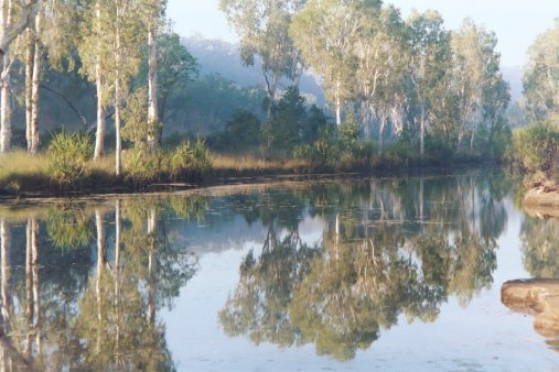
Early-morning view from campsite along Palmondoora creek |
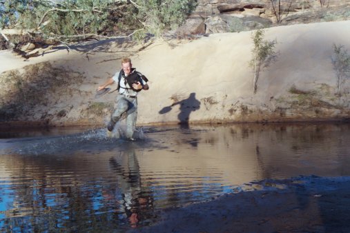
Daan, quickly crossing the Drysdale |
Drysdale Trip Part 1
|
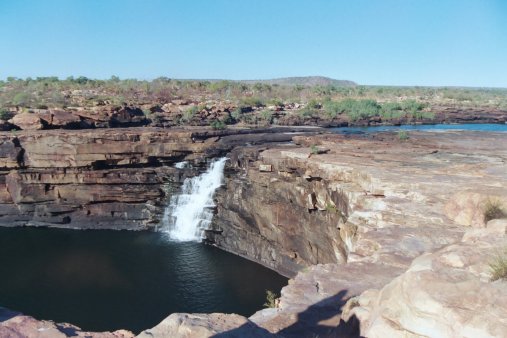
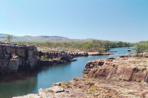
Solea falls |
Waterpool |
|
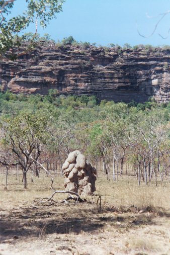
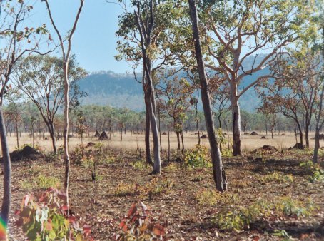
Typical termite mound in Drysdale NP |
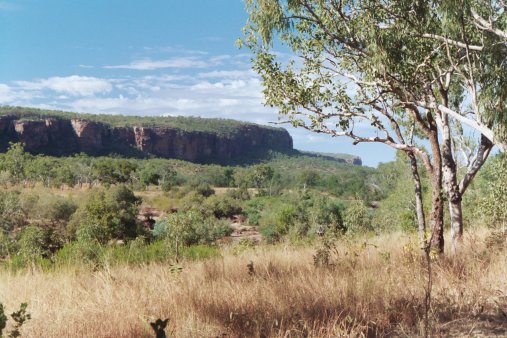
Carson escarpment |
Drysdale Trip Part 2