 |
 |
 |
 |
 |
| WASHINGTON |
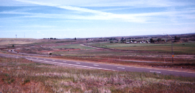
| This is eastern Washington, where it is ten degrees hotter in the summer and much drier, as was evidenced by the numerous dust devils. The rest of this portion of the state looked the same as the view from this rest area. -Melissa |
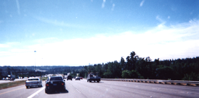
| This was my drive into Seattle at four in the evening on a Thursday: four lanes of traffic plus an HOV lane (high-occupancy vehicle), driving a truck with a U-Haul attached, trying to go up and down and around the mountains in increasing traffic. I must say that it was a relief to finally park the truck to unload it, even though we still had a couple hours of unpacking to do before we could eat and sleep. -Melissa |
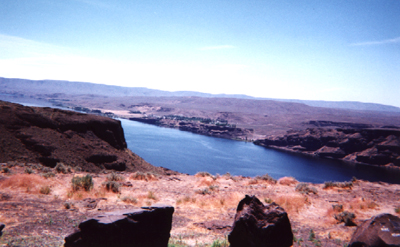
| The first sighting of the Columbia was an awe-inspiring sight.--Bill |
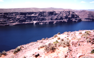
| The Gorge is an ampitheater near the bend in the river where this shot was taken. By the way, it's just as far to the bottom of this side as it is on the other.--Bill |
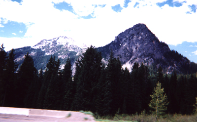
| The best mountain shots taken were in Washington, just outside of Seattle, so hopefully the next pic from the Snoqualmie Mts will be from the top of these awesome peaks.--Bill |
| This was our initial picture of the Seattle skyline. You can see the hazy image just above the utility truck in the center. When I took this picture, the skyline looked much larger (disposable camera). --Bill |