 |
| Pictures from Vancouver, B.C. |
|
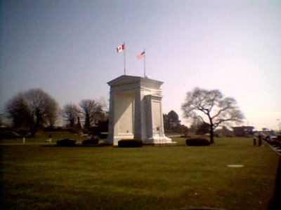
| The Peace Arch, which sits at the Canada/USA border. |
 |
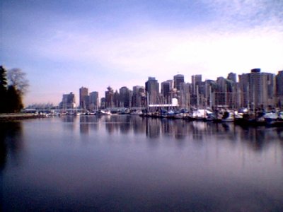 |
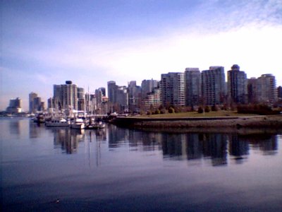
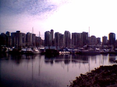
| Three pictures of downtown Vancouver, taken from the edge of Stanley Park, which is a luscious 1,000-acre Vancouver "central park." The Vancouver area is home to roughly two-million people, and has the second largest Chinatown in North America. The bottom picture is of a neighborhood known as the Westend (?), which is a northwest model for non-car-dependent development. |
 |
 |
| Canada Place in downtown Vancouver. |
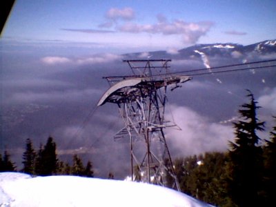 |
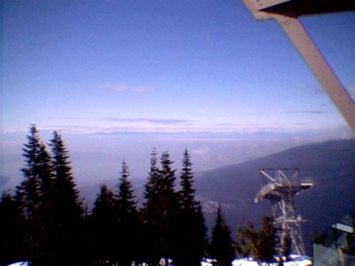
| The top end of the Skyride at Grouse Mountain, fifteen minutes north of Vancouver. Yes, we are above some of the clouds and there are mountains in the background. |
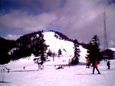 |
| The "Peak," one of the more difficult ski slopes at Grouse Mountain. |
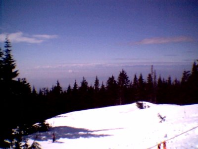 |
| Looking down on a beginner's ski slope, with the hazy clouds above Vancouver in the background. |
 |
 |
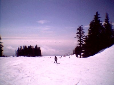
| The last picture before we left Grouse Mountain (and Vancouver). Though there are also clouds, the horizon is a chain of snow-covered mountains. |
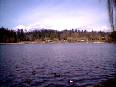 |
| This is the "Lost Lagoon" in Stanley Park. Ducks and Canadian geese hover around, sometimes begging for food (before being chased off by dogs). |
| Bill and I took a weekend vacation to Vancouver, B.C., Canada, March 22-24, 2002. |