|
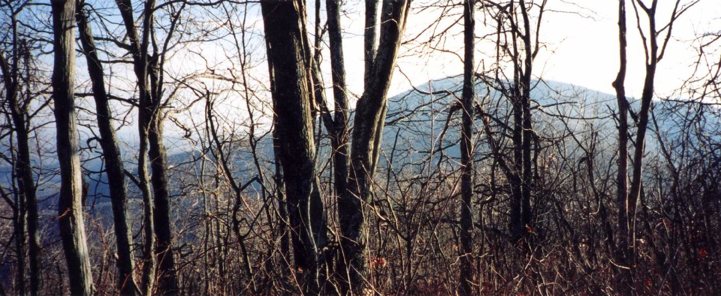
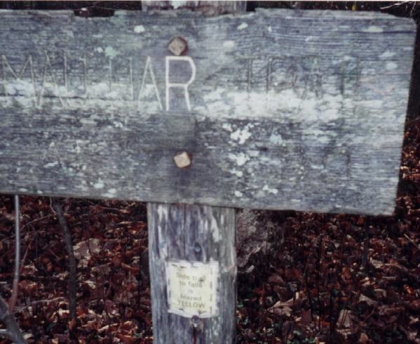
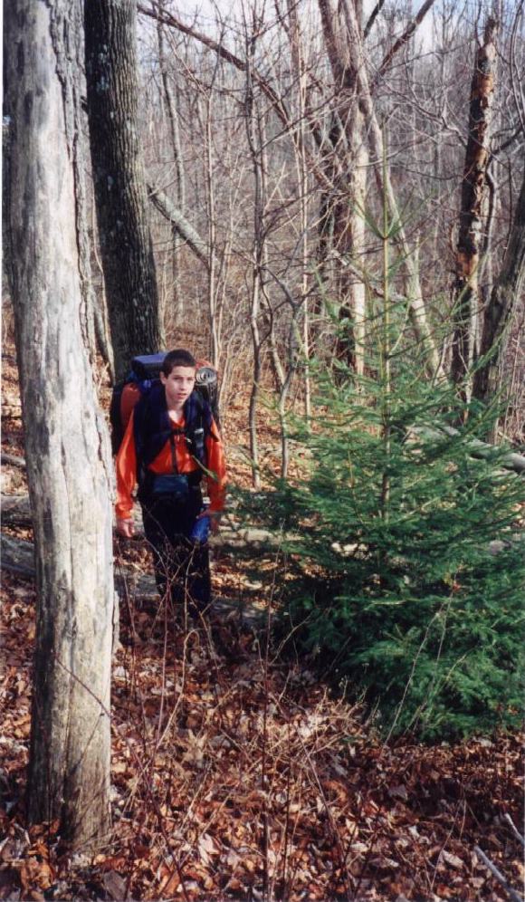
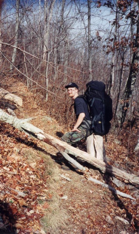
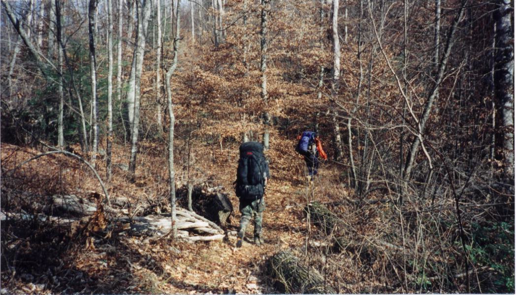
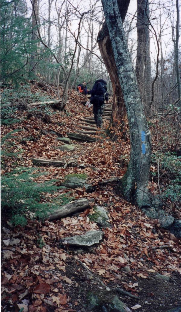
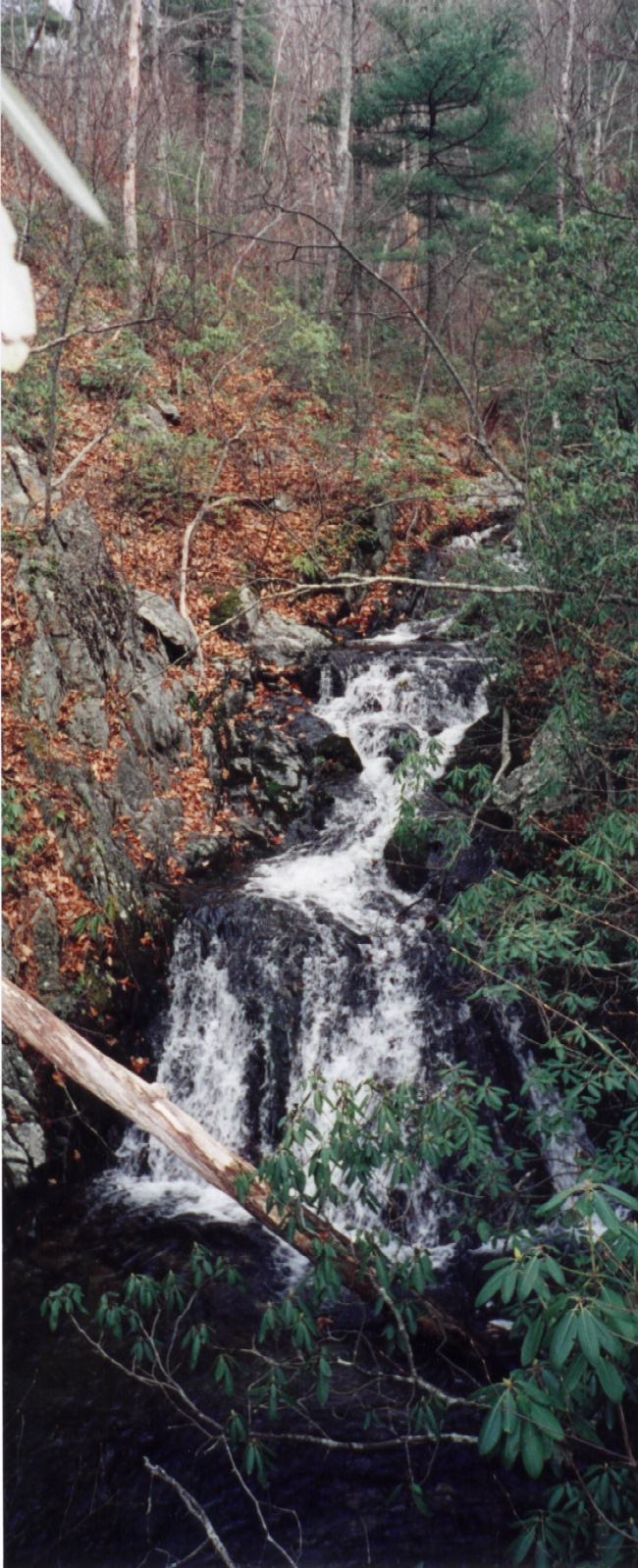
This hike started from Reed's Gap, hiking 1.7 - 1.9 miles (depending on your source about 1 mile up to the summit and about 9/10 of a mile down) to the Maupin Fields shelter, continuing on the AT for about 5.8 miles over Bee Mountain, Three Ridges, and Chimney Rock to Harper's Creek shelter. The return hike followed the AT for 8/10 of a mile to the juncture of the AT and Mau Har trail (blazed blue). From there the hike is pleasant and not very strenuous for about 1/3 - 1/2 a mile then begins a series of about seven switchbacks and sometimes strenuous hiking up and over rock falls and creeks and streams until you reach the falls trail (blazed yellow) about 1.5 miles from the start of the Mau Har. The trail follows along (and crisscrosses about three times) Campbell's Creek for about 3/4 of a mile up and over some more rocky terrain, leveling out about the last 1/2 - 3/4 of a mile for a pleasant hike back to the Maupin Fields shelter. |
|