|
|
|
|
|
|
|
|
|
|
|
|
|
|
|
|
|
|
|
|
|
|
|
|
|
|
|
|
|
|
|
|
|
|
|
|
|
|
|
|
|
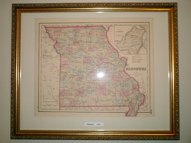
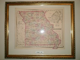
Missouri 1857 |
|
|
|
This is a map from the 1857 J.H. Colton's General Atlas. This map is dated 1855 on it's face, but as other Colton maps are also dated 1855, the actual publication of this map is 1857 which is represented by the copyright on the atlas. |
|
|
|
This map has extraordinary detail showing all mountains, rivers, roads, railroads and towns. |
|
|
|
This map is Hand Colored. |
|
|
|
 |
|
|
Dimensions |
|
|
|
|
|
The map measures: 17.5" X 15" |
|
|
|
|
|
The Frame measures: 20" X 16" |
|
|
|
|
|
|
Click to Enlarge |
|
|
|
 |
|
|
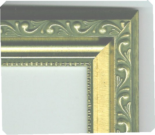
Frame |
|
|
|
|
|
Antique Embossed Gold |
|
|
|
|
|
1 1/2" wide |
|
|
|
|
|
|
Click to Enlarge |
|
|
|
|
|
|
$130.00 |
|
|
|
|
Price |
|
|
|
|
|
|
|
|
|
|
|
Plus Shipping |
|
|
|
|
Back to Menu |
|
|
|
HOME |
|
|
|
Questions about the Map? |
|