------------------------
UK WALKS INDEX
------------------------
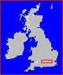
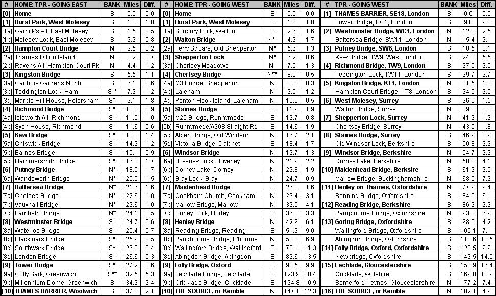
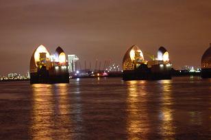
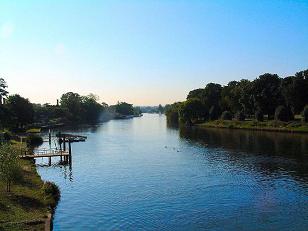
THAMES PATH
NORTH DOWNS
SOUTH DOWNS
RICHMOND PARK
WEST HIGHLANDS
------------------------
WORLD ROUTES


1: CENTRAL LONDON
2: SUBURBAN SURREY
3: THAMES VALLEY


Current Image Total: 57. Last Update: 0930GMT, 10/03//2007