May 18th, 2000 Illinois Chase
Click here for linked Chase Map version of Chase Log.(Not finished)
The chase started on a county road south of Knoxville, Illinois, at about 2:00pm CST.
I had driven under a band of building Cu clouds and was almost tempted
to chase one of the larger ones, but none seemed to be organized. I changed out
of my office clothes at a rest area along I74 West and watched the clouds roll
by for a few minutes.
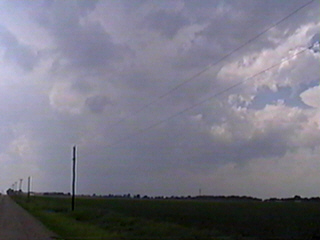
As I watched,
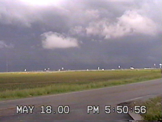
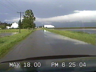
towers began to build and they began to pull flow from each other. The storm was beginning to organize itself and darken as precipitation began to fall in the distance.I decided to move a bit farther south on 97 to get away from the rain.
I also felt better parked on a paved county road instead of gravel.
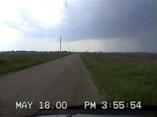
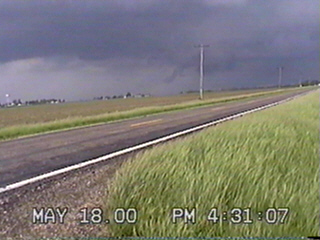
The storm became even more organized and I was in perfect position to see the rain-free zone.
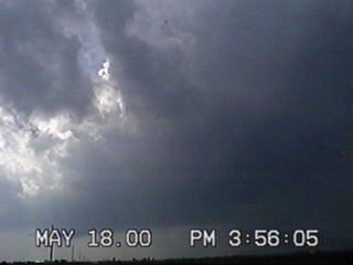
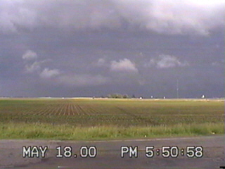
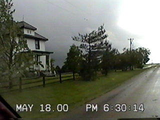
Even from where I was at, the cloud darkened the sky quickly.
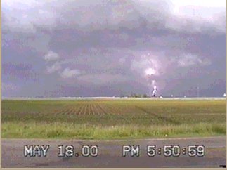
***Notice the small time difference between these two shots.***
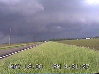
I watched the cell go by & moved north to chase behind it. I really hated
the roads I found & the weather I was moving into. I headed back south on
97, passing through Maquon and headed east to Yates City. I hoped the storm
had travelled north enough that I could now get behind it on Highway 150.
I turned north on 17 to 150 and drove into heavy precipitation about a
quarter mile south of I74. Driving about 100 yards south to a county road
put me back in the clear. For a storm moving 45-50 mph, it was taking its
sweet time getting past me!
I headed due east on an unmark paved road, crossing over Route 18 on to
Route 10. I headed north on 10 to just east of Brimfield. I crossed over
I74 just as a tornado warning for Brimfield was issued. I decided to get
a bit farther north.
To the west, Brimfield began sounding their
sirens and I didn't like how close I was getting to the storm and
backed off about 1/2 mile south, just off of I74.
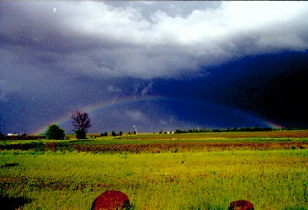
The heavens decided to open up at this time with small hail and I tried to
move back south of I74, out of the hail, only to get caught in a wet down
burst along with the pea sized hail. I pulled into a gas station as visibility
was just about zero in the rain. Just as fast as the rain hit, it was gone,
leaving a large rainbow to the east.
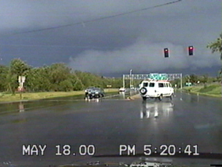
I pulled back out onto 150 and headed east towards Peoria. Again, I hit hail
and heavy rains. Had I been able to see some radar, I would have found that
the storm was moving in a due eastern direction, so I was always getting under
the tail end of it.
For a view of the radar, your can
access the NIDS radar archive site.
I have already entered the correct parameters for the time & date.
For a view of what was happening across the Midwest,
click for the NIDS archive for the Midwest.
*Note that both may be slow loading.*
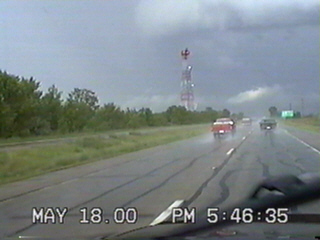
I was finally able to get to the west of the storm and followed onto the west edge of Peoria.
This is where I made my mistake. The storm began firing heavy north of Peoria
To make things even more fustrating, tornado warnings had gone off in Germantown Hills,
where I would have been if I had continued due east on 150!
I drove down 29 back to 150, then realized due to construction that I could not get
east on 150 from 29. I got on west bound and turned off at the first light, turned
around and waited for the signal to let me cross the rush-hour traffic. I eventually
got headed east. It took me over 20 minutes to go 5 miles, thanks to my blunder.
I headed towards Washington at a fairly fast clip, as drive-home traffic often
exceeds 70mph heading towards Washington and Eureka on 24.
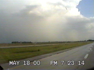
At intersection of 24 & 32, the I turned north onto 23 towards Metamora
and took some shots of clouds and caught a few flashes of
lightning to the N/NW.
I reached Secor and took a good look at the skyshow. Again, I assumed
the storms were moving northeast, when it, in fact, was *leaning* SW to NE and travelling
almost straight east. I had, by now, passed through it and was chasing
its back edge.
By the time I reached El Paso, I found some storm damage and
talked to an ESDA
spotter named Dell (I believe) and he told me he had seen two spin-ups about an hour ago.
"An hour ago?!? I must really be behind this storm!!", I thought. If I had know of the
storm's structure, it would have been plain. As it was, I assumed the line had shot up
a storm ahead of it as it pushed the atmosphere at 50mph and dumped it's energy, dying out.
While sitting on the overpass above I39, behind Dell's van, contemplating my fate, SVR
warnings were issued for all towns between a line from Lincoln to Bloomington/Normal.
I was about 15 miles north of Normal right on the interstate. Honking a cheery farewell
to Dell, I headed south to Normal.
I picked up I55 South and watched the clouds move to the northeast.
I noticed that NOAA radio had gone silent about Shirley as I reached the exit. But there
were reports of *spin-ups* spotted at LeRoy, east of Bloomington/Normal. Years ago, I use to date a girl
from Shirley and I could have swore I was on the right road to get cross country to LeRoy.
I was wrong. The road I took brought me back to the south side of Bloomington. And
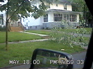
about that time, the warnings were expiring. I promised the wife I'd quit chasing at
sundown, which was fast approaching. I cruised through the neighborhoods near the
downtown area and came across downed limbs.