The Washington Adventure

This page (forgive the amateur web designing) highlights selected photos from our summer 2007 vacation in the beautiful state of Washington. Half the time we stayed with my Uncle Bill and Aunt Judy who live in Ellensburg (Central Washington). The rest was spent on the road. Enjoy!
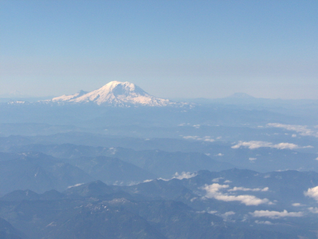
While on the flight into Seattle, I was able to snap a photo of Mt. Ranier, highest in the Cascades and US Pacific Northwest.
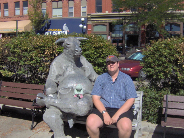
I pose with the famed Ellensburg bull 19 years later (if I could find the 1988 shot, I'd put it on here...).
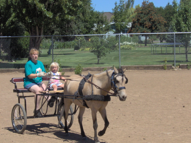
Aunt Judy owns a horse, Cody. Makalya got to go for a ride!
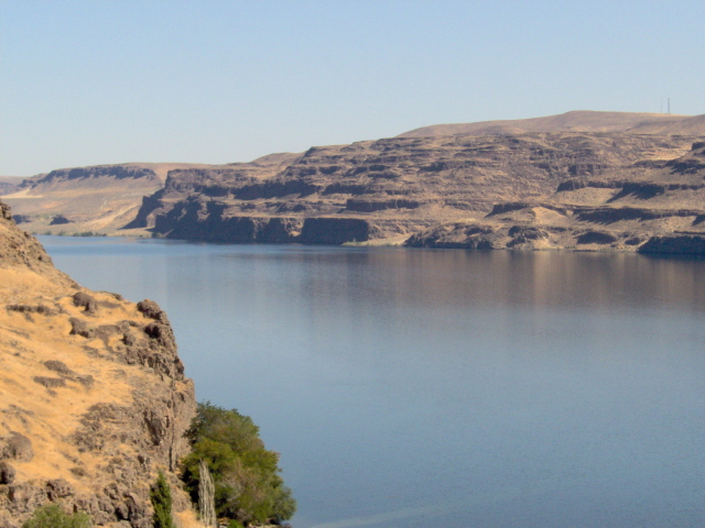
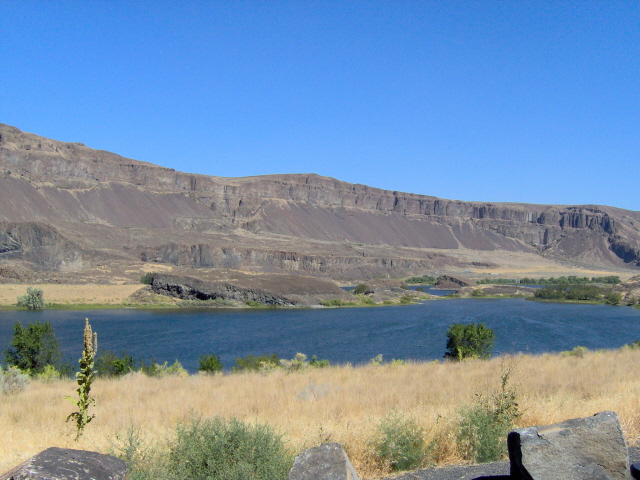
First thing we did was head down to the Columbia River...here it is at Vantage, WA.
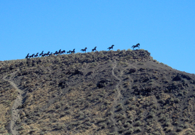
Across the river from Vantage, WA on a high bluff stand these metal sculptures of wild horses.
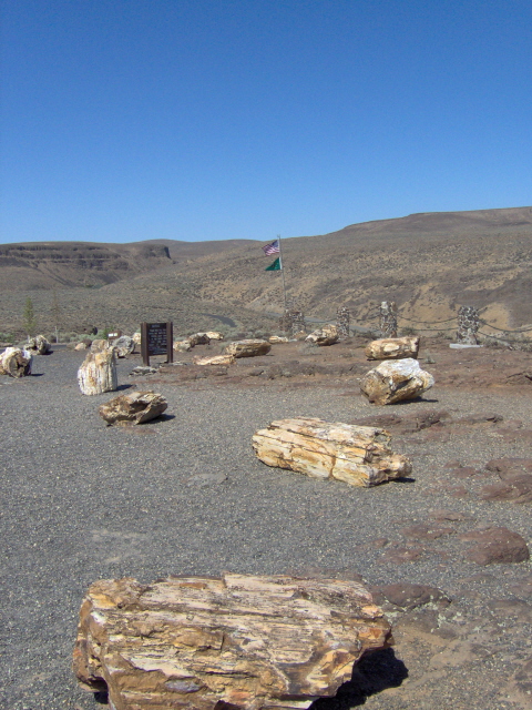
The main attraction at Vantage is Ginko Petrified Forest State Park. Here are some of the specimens.
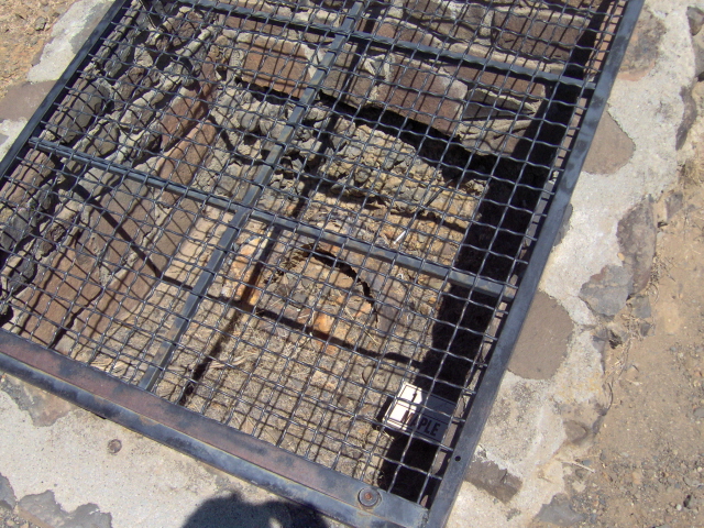
Up the road from the Ginko State Park Main Visitor Center is another area with these actual preserved, still in the ground, petrified specimens.
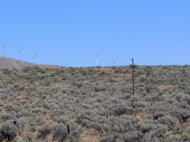
Along the Vantage Highway back to Ellensburg is this new wind power park on the high hills.
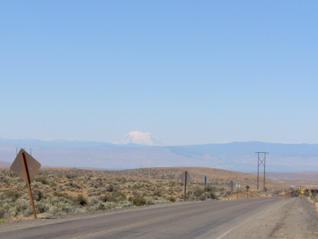
Also, driving back on the Vantage Highway, you get another pretty dramatic view of Mt. Ranier.
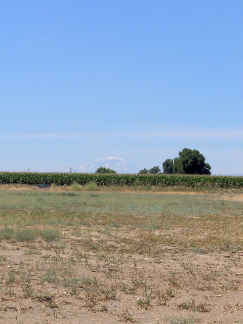
Another big peak in Washington's Cascades is Mt. Adams, considered sacred by the Yakima Indian Nation located in its shadow.
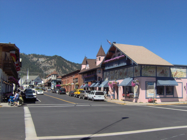
Among the Cascades one will find the Bavarian themed town of Leavenworth, WA. This is a street view.
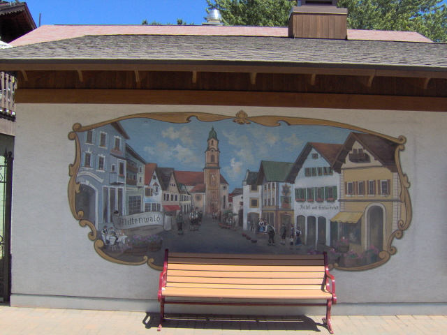
One of the several "German-esque" murals in the town of Leavenworth, WA.
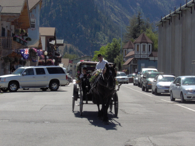
Like most tourist towns, the have their own horse carriage ride in Leavenworth, WA.
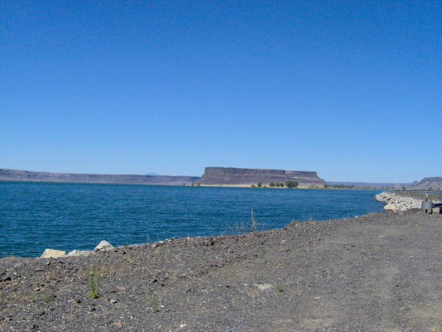
On our way to Grand Coulee Dam, you drive through the "Grand Coulee", an ancient river bed. This is Lake Lenore, one of the many still in the Grand Coulee.
A butte known as Steamboat Rock along side of Banks Lake in the Grand Coulee.
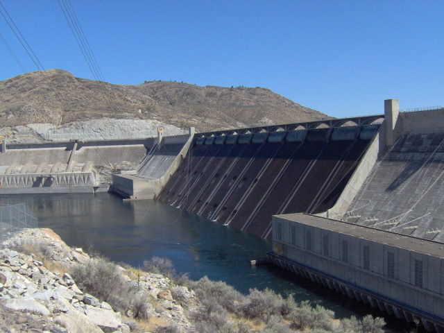
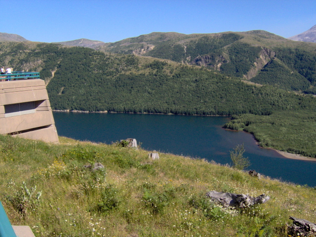
Here is the massive Grand Coulee Dam, the largest concrete structure in the United States.
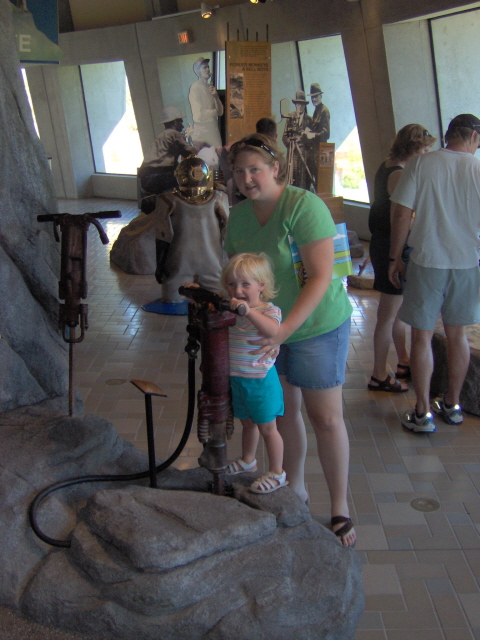
At the Grand Coulee Dam visitors center, they had all sorts of neat exhibits...here Makayla and Mom play with a REAL jackhammer.
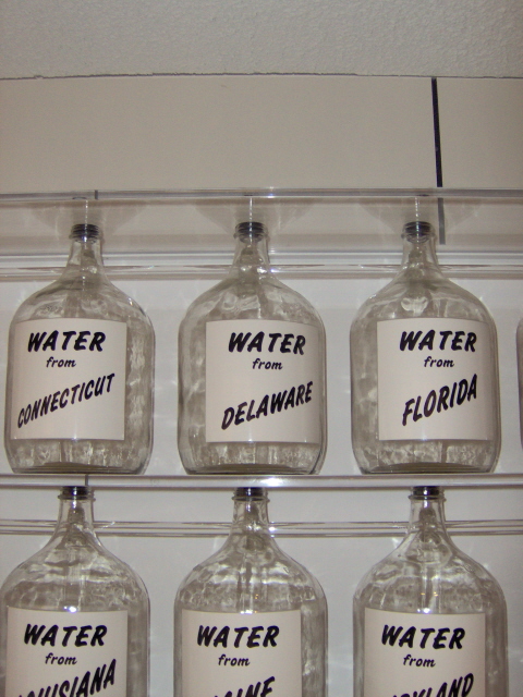
Delaware Water, and water from the other 49 states and territories of Alaska and Hawaii (since this was before 1959), were poured into the newly forming Lake Roosevelt at ceremony at the opening of the dam.
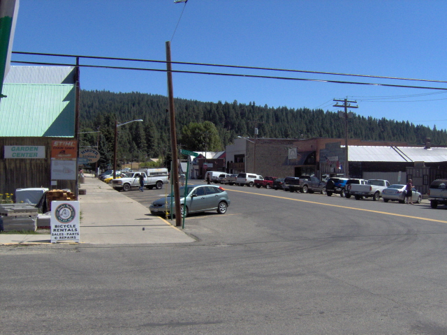
Northwest of Ellensburg, WA is Roslyn, a town that was relatively unknown to most until it became fictionally known as Cicely, Alaska on the TV show "Northern Exposure".
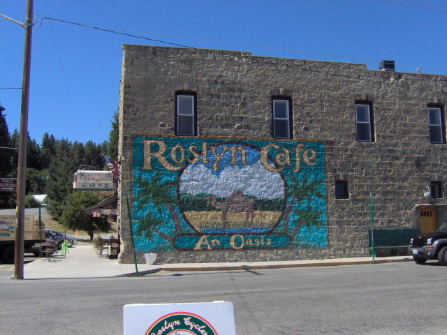
Roslyn('s) Cafe, a landmark and icon element from "Northern Exposure"...here the mural is in its original form (on the show, a moose is in the picture).
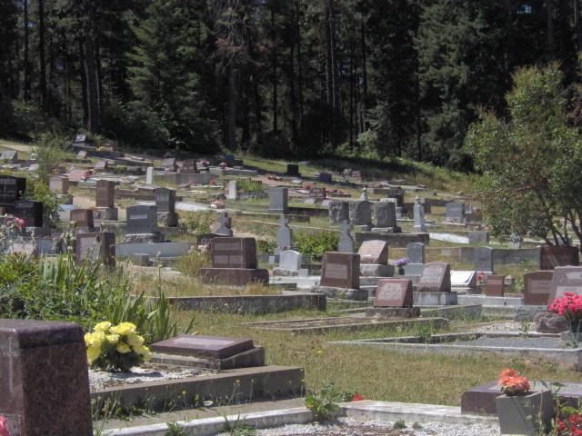
Before "Northern Exposure" came calling to Roslyn, it was better known for its mining history and, particularly, its cemetaries of long lost mine workers and their families.
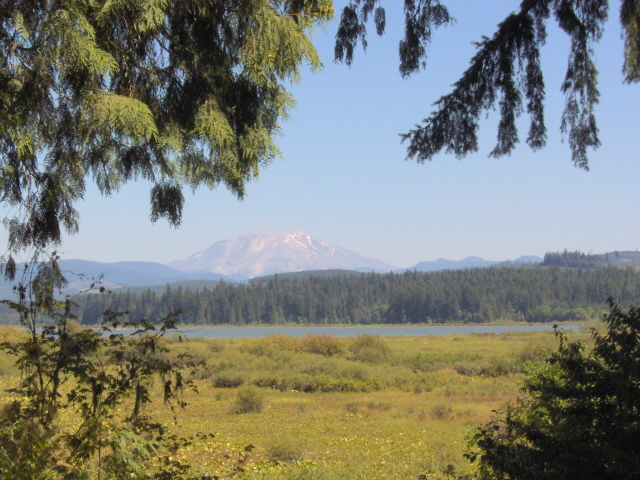
As we left Ellensburg, we headed west...first stop, Mt. St. Helens, which blew its top on May 18, 1980. Here is a nice framed view of it from afar at the Silver Lake St. Helens Visitor Center.
One of the numerous results of the 1980 eruption was Coldwater Lake, created when rubble blocked the flow of a tiny mountain stream. This lake is quite young!
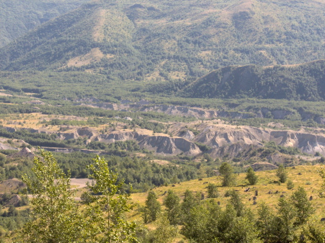
The eruption blew almost 2000 feet off of the mountain. Here is where some of it ended up, in the Toutle River Valley below the peak.
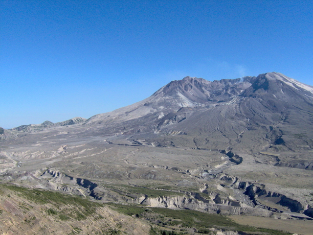
With the Toutle River valley drowned in mountain top, water creates new channels in the volcano's rubble below its crater.
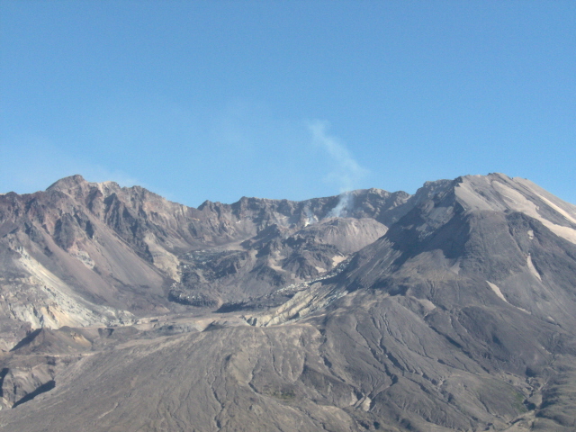
Looking into the belly of the beast from Johnston Ridge Visitor's Center.
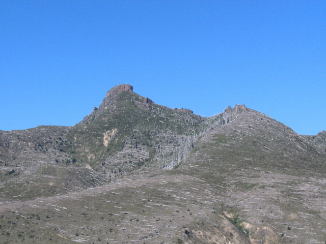
A reminder to the destruction caused by the eruption of Mt. St. Helens, this ring of dead trees stands preserved on a mountaside.
Our last stop was the Washington coastline. The next 5 photos show you some things you need to know about the Pacific Coast in Washington.
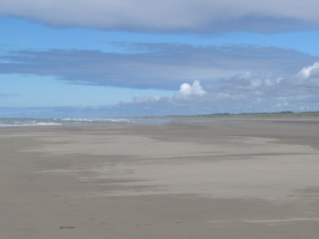
#1: The beaches are REALLY WIDE thanks to the tides. At low tide the beaches stretch out slowly into the Pacific. This is Long Beach, WA.
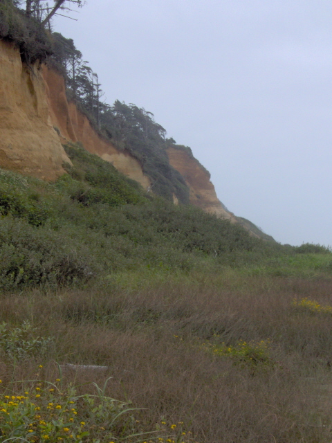
#2: Yes they do have cliffs in MOST places, but not all. These cliffs are at Roosevelt Beach, WA.
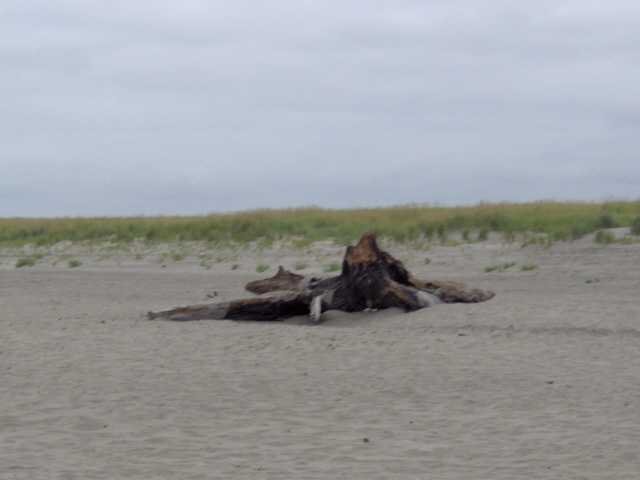
#3: Bonfires are VERY popular on the beach and quite permitted! This is the remnants of one from the previous evening.
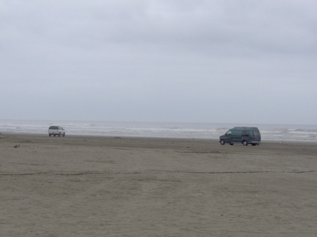
#4: The sand is so firm that, yes, anyone can, and is allowed to, drive on the beach in most locales.
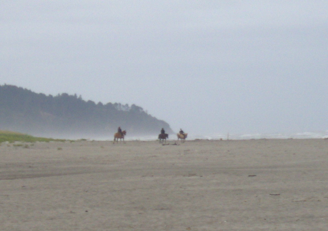
#5: And finally, you can also drive your horse on the beach too!
The Willapa Bay Peninsula, where Long Beach is located, is known for two products:
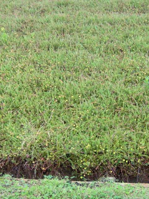
#1: CRANBERRIES!
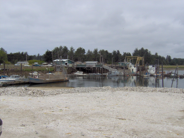
#2: OYSTERS!
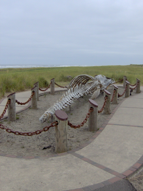
One day in Long Beach, a deceased Grey Whale washed ashore and decomposed...so they took its bones and made a memorial to whales and Lewis and Clark.
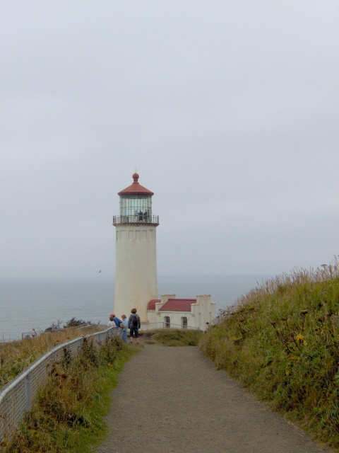
One of the two lighthouses found at the bottom of Long Beach Peninsula, North Head Light.
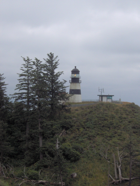
The other is Cape Disappointment Light. Both guide ships into the mouth of the Columbia River.
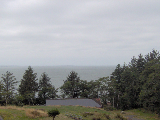
The mouth of the mighty Columbia River, the most treacherous to navigate in the world.
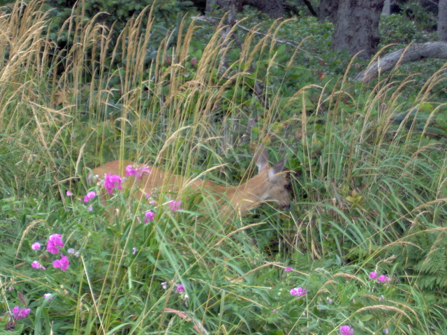
The deer are pretty tame around Washington. This one walked right in front of us by mere feet at North Head Light.
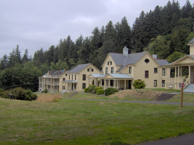
Perched upon a bluff overlooking the river is Fort Columbia, one of many old defense forts in the area.
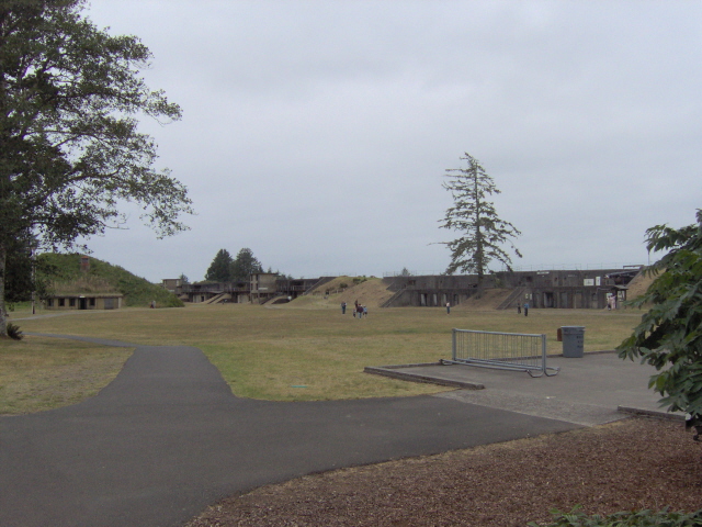
On the Oregon side of the Columbia, opposite Fort Columbia, is Fort Stevens.
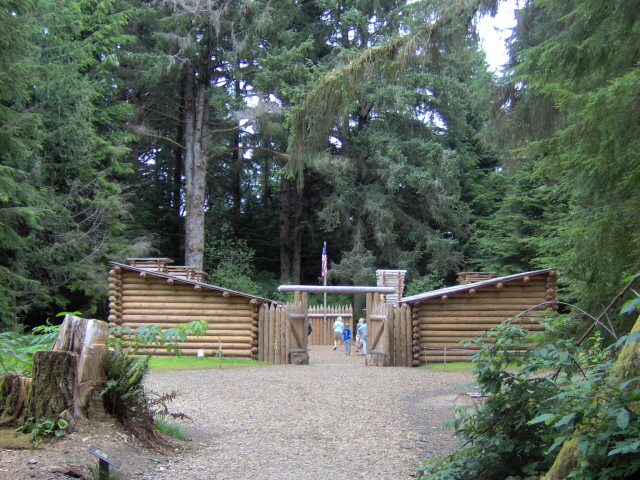
Another fort, though more historical, this simple log structure reproduction is Fort Clatsop, winter home to the Lewis and Clark Expedition in 1805-1806.
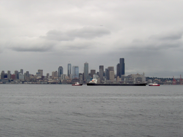
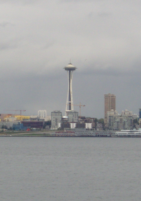
Our last stop was the city of Seattle. Here is a skyline view from across the Elliott Bay.
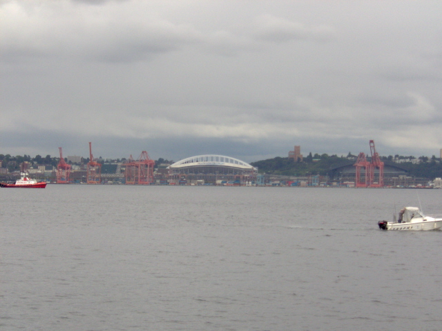
Where the Kingdome once stood now stand the stadiums for the Seahawks (Qwest Field) and the Mariners (Safeco Park).
The famous Seattle Space Needle