History of Fort Washington
1775-1815
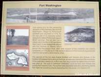
Located on Peirce's Island, Fort Washington was built in 1775 under orders of Major General John Sullivan, overall commander of the Portsmouth harbor defenses, to command the Piscataqua River at "the Narrows" and to provide crossfire with Fort Sullivan directly across the river on Seavey's Island. A log boom defense was placed in the river between the two forts. The fort was garrisoned by 180 men under the command of Captain Titus Salter from 1775-1778. The garrison was also responsible for the security of the powder magazine in Portsmouth. The fort was designed by Captain Ezekiel Worthen, who also designed Fort Sullivan and the Clark's Point Redoubt on New Castle Island, and who, with the rank of Major, later replaced General Sullivan as the overall commander of the Portsmouth harbor defenses. Peirce's Island was renamed "Isle of Washington" during the American Revolution, in honor of General George Washington, who was then commander of the Army of New England. The fort was repaired and regarrisoned in 1814 - 1815 during the War of 1812 when British warships blockaded the coast. The fort was in ruins by 1850, and was probably not used at all during the Civil War.
The abandoned ruins last saw military service in 1941, when Peirce Island became the location of an Army Recreation Center, a tent camp for 500 men set up by the Army's Morale Division for coastal artillery troops from Portsmouth and Boston. A permanent staff of two officers, three NCO's, and nine privates made up the garrison. The center's mess units were actually placed within the ramparts of the old fort.
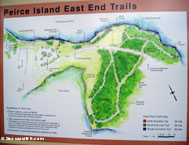
Only a portion of the fort's outer breastworks still exist today, completely overgrown. The land face and sally port was bulldozed in 1963 - 64 when the Portsmouth Wastewater Treatment Facility was built on the site. There was little local opposition at the time of the plant's construction. The remaining portion of the fort site has now been formally preserved as part of the Peirce Island East End Trail, completed in 2004. There are historical markers of the fort and the Portsmouth Naval Shipyard across the river, as well as several panels on the natural history and ecology of the island and river. The park is open during daylight hours only, with no admission fee. Public parking is located adjacent to the Municipal Pool.
List of Sources Used
Peirce Island East End Trail info by GoSeacoast.com
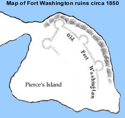
A fanciful depiction based on an 1850 Portsmouth City map
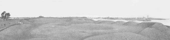
photo from the Gurney - Patch Collection, Strawbery Banke Museum
Fort Washington's ruins, circa 1900
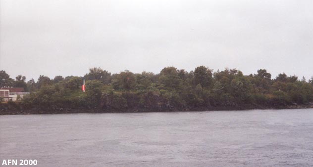
The site of Fort Washington as seen from across the river on Seavey's Island.
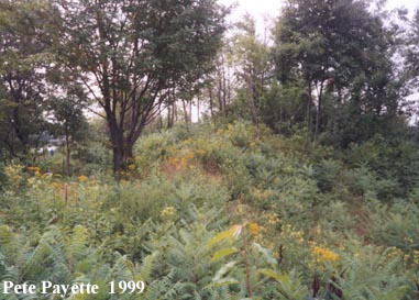
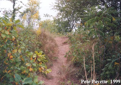
Remnants of the earthworks of Fort Washington.
Photos by J. Dennis Robinson, courtesy of SeacoastNH.com
(click thumbnail images for larger versions)
Peirce Island Trail Map and Fort Washington historical marker.
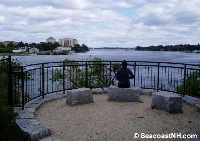
Photo by J. Dennis Robinson, courtesy of SeacoastNH.com
The Cliff Overlook vantage point, looking eastward towards the sea.
The Portsmouth Naval Prison is on Seavey's Island (left), Goat Island and New Castle Island are on the right,
and Gerrish Island is in the far distance (center).
courtesy of Microsoft Terraserver
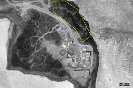
A 1992 USGS Satellite Image of Peirce Island
Earthworks location outlined in yellow
