Images of Fort Fisher
Fort Fisher was a Confederate "L" shaped earthwork. Much of it has eroded into the ocean, and only half the northern wall remains, plus traces of the extreme southern end.
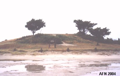
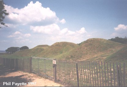 Exterior view of northern parapet (looking toward ocean). |
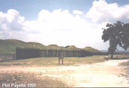 Exterior view of northern parapet (looking toward river). |
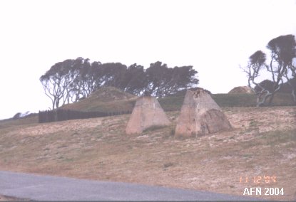
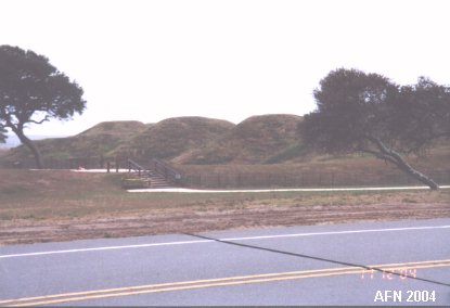 Interior view. |
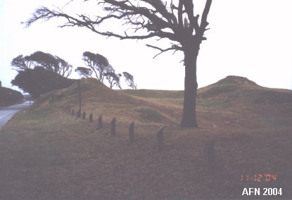 Interior view. |
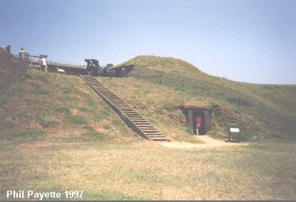 Inside Shepherd's Battery. N 33�58.320 W077�55.170 (USCGS) |
 Coast Artillery Fire Control Tower site. N 33�58.263 W077�55.015 (USCGS) |
 Battery Buchanan N 33�57.621 W077�56.480 (USCGS "Federal Pt"/USCG "Fed"/USAF "M-115") |
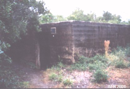 World War II Bunker (probably anti-aircraft battery magazine). N 33�57.474 W077�55.817 (USCGS) |
Other GPS positions:
NE Bastion (washed away) N 33�58.167 W077�55.001 (USCGS)
Airstrip/State Historic Site Visitor Center N 33�58.305 W077�55.052
Battery Hedrick/State Recreation Area Visitor Center N 33�57.858 W077�55.342
Battery Holmes (Bald Head) site undetermined
Cape Fear FC Tower (Bald Head Point) N 33�52.072 W078�00.469 (USCGS)

 |
|
