Hennepin State Parkway, Illinois.
 |
 |
 |
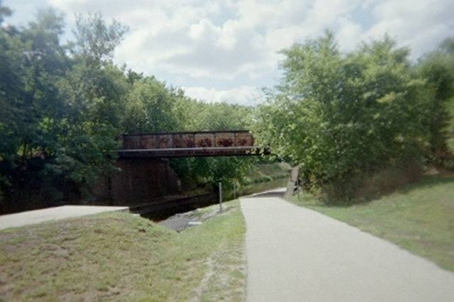
The Hennepin Canal system covers 104.5 linear miles, spanning five counties (Rock Island, Bureau, Henry, Lee and Whiteside) between three points. The Main canal runs between the Rock River (at Colona, Illinois) and the Illinois River (near Bureau Junction, Illinois). The Feeder Canal flows from the Rock River -- at Rock Falls, Illinois -- and connects with the main canal approximately the midway point (northwest of Sheffield, Illinois.)