|
Arroyo Tala, Rio Arapey Drainage,
Salto, Uruguay
November 28, 2006
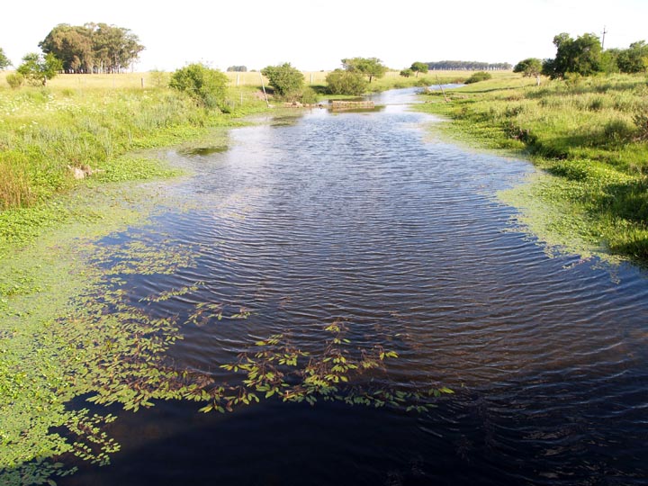
GPS Coordinates: South 31 degrees 23.170' West 057 degrees 33.774'. Elevation: 298'.
Arroyo Tala flows into the Rio Arapey system and contains different fish fauna than the arroyos of the Cuareim drainage of Artigas.
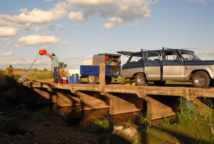
Twice daily water changes are important for all fish for the first 2 to 3 days. After that, water is changed daily. Fortunately, water chemistry and temperatures are very similar in most part of Uruguay.
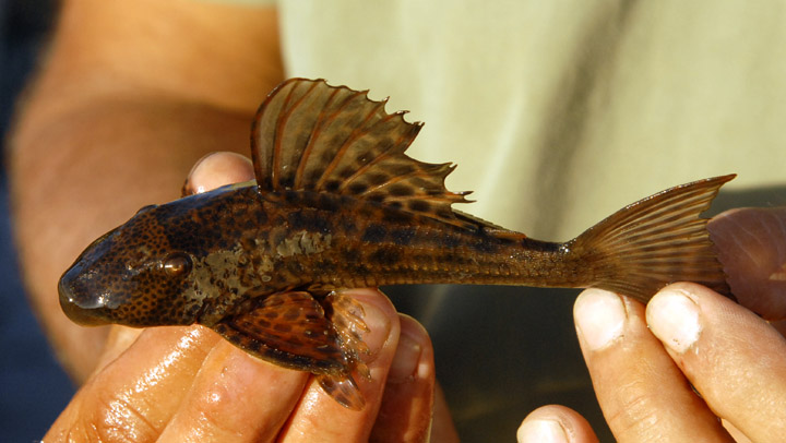
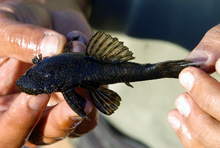
Pleco type - ID help needed.
The water was a cool 72 F. Soft and neutral.
Ancistrus type - ID help needed.
These were hiding under many of the rocks. Once you mastered the art of catching them, there were hundreds for the plucking.
We caught about a dozen.
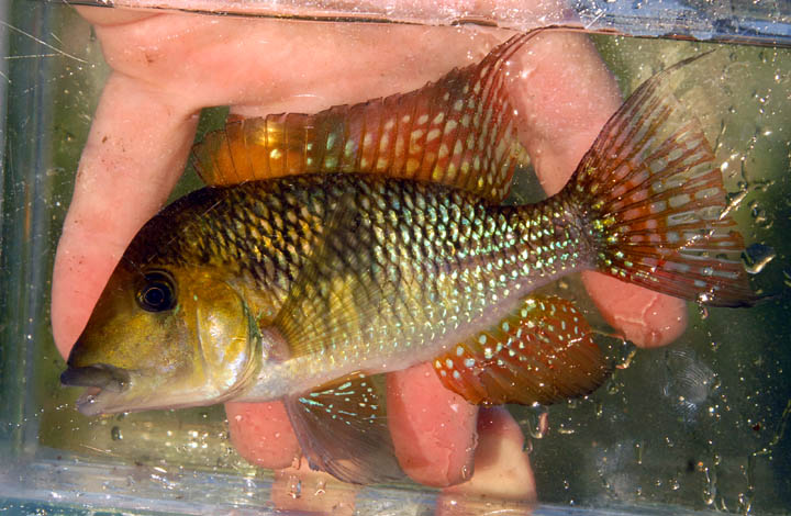
A new Gymnogeophagus sp.
Once settled into an aquarium, this fish has a very prominent, broad, black suborbital stripe. Of all the Gymnos we caught on the trip, this is the only one that eats like a true Geophagus, by diving into the substrate and coming back up with a mouthful of mud. All the others pecked and scraped the rocks for food. This species appears to be limited to Arapey system.
You could tell we'd moved onto a new water system as soon as we came to this area.
We spotted Crenicichla vittata for the first time.
Fish species found in Arroyo Tala:
- Crenicichla vittata
- C. scotti
- C. cf. lepidota
- Gymno. sp. Tala Black Stripe (gymnogenys group)
- Hoplias lacerdai
- Cyanocharax uruguayensis
- Astyanax sp. Blue
- Australoheros scitulum with green sides
- Ancistrus type (?)
- Unidentified Loricariid
Photos by J. Cardwell, S. Jack and V. Kutty
|