|
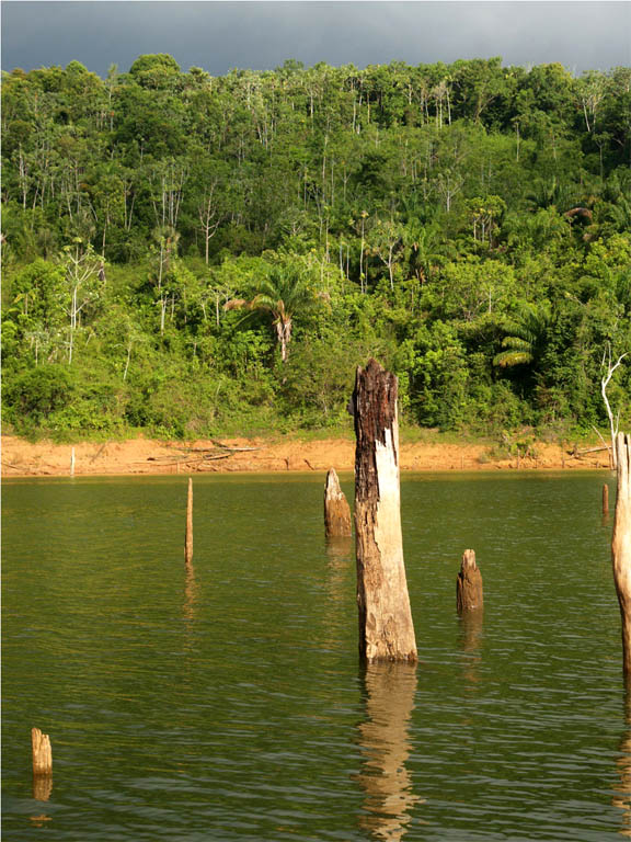
Afobaka, Lake Brokopondo
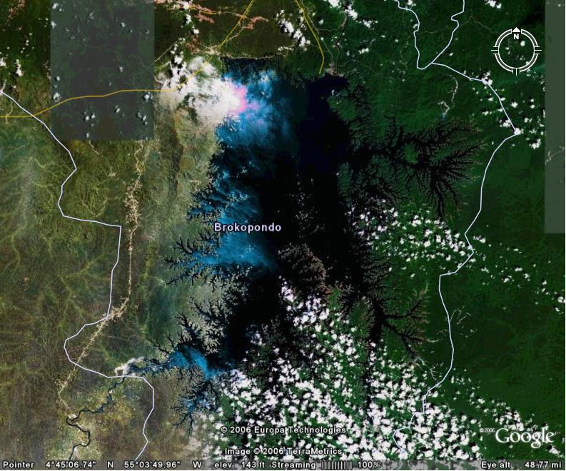
Lake Brokopondo is a giant artificial reservoir built to generate hydroelectric power for the bauxite/aluminum mining conglomerates. The dam spans almost 8 miles (12 Km). Huge swaths of the forests were flooded and the tree stumps and branches makes it very hard to seine or cast net in the lake. We were told that the lake harbored a thriving Piranha population, but we did not encounter them.
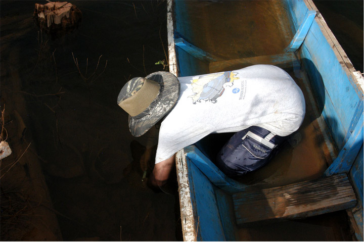
I saw a pair of Guianacara owroewefi in breeding coloration from the shore. The easiest way to get to them was from this boat. The species was very common at this habitat.
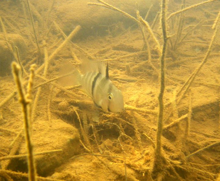
I had to stay still for about 10 minutes for this female to approach me fearlessly. The galant male deciding that he was more important than his fry, made himself scarce. However, a very dangerous looking storm was approaching and the trees at the top of the hill were getting struck by lightning, so I did the smart thing and moved away from the water. Stupid storm! Species seen at Suriname River near Brokopondo:
|