When I first learned some basic graphics programming skills, one of the first programs I strived to create was a three-dimensional wireframe view of a mountain range. I think my first attempt had a square 10x10 grid with randomly assigned "elevations" for each point.
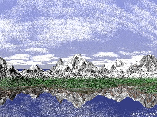
By the time I created this image, the program had gone through many iterations and evolved in complexity. Here, thousands of elevation points are assigned to hexagonal grid locations which are highly dependant on neighboring points. I even developed an erosion algorithm to effect the shape of the mountains based on how water would run off them. Coloring of triangular segments is based on several factors including slope, elevation, and angle to the sun. This image included one of my first attempts at adding clouds, which in this version is still a little buggy.