
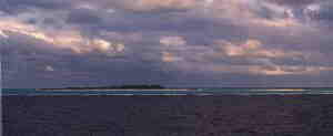
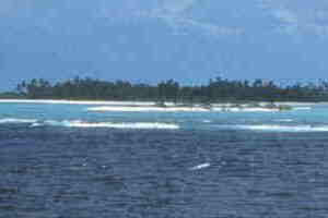
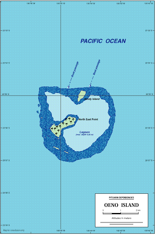
The next morning we awoke in the vicinity of Oeno. The winds were fairly high and we circled the island a couple of times. There is a coral reef that surrounds the Motu. Between the reef and the island is a large lagoon. The trick is that you need to find a break in the reef to enter the lagoon. The waves were crashing all over the reef, so there was not a chance to go for a landing. The truth was that we think the passengers and probably the staff were pretty exhausted from the previous three days of landings. We were wondering where we were going to find the energy for another day, so we were not greatly disappointed after having such a high for the last three days.
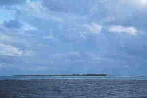
Oeno island is surrounded by a lagoon that is formed by the coral ring surrounding the island at quite a distance. The edge of the coral reef can be seen by the transition from light blue/green water to the darker ocean water. The deck height of the ship,however, does not make for a good viewing
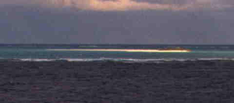
In the foreground, (if you look carefully) you should be able to see Sandy Island.
