

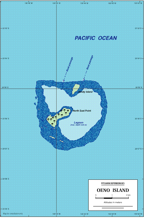
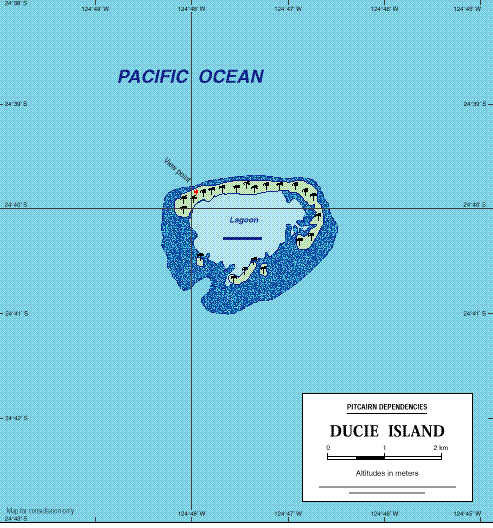
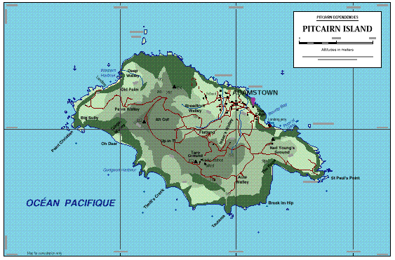
The above maps, as well as maps of Henderson Island and the entire Pitcairn Group, are available for download from this site in Adobe PDF format (requires Adobe Acrobat 3.0 or greater). These maps have much more detail than the map in .gif format above. This collection of maps has been made especially for this website by Jean-Pierre Langerof the Principality of Monaco and are based upon Admiralty charts. The maps are collected in a single zip file and are available in EnglishorFrench.
Thanks to Jean-Pierre Langer for his wonderful work!
Back to top