| What Mystic Waters Looks Like From an Airplane Taken from 17,500 feet above the ground (approximately 3 miles). This photo is part of the Des Plaines Rivershed project by for use for public projects and construction in order to view the land. This shot was taken in the winter of 2000. For more information and for shots, visit this website: Illinois Clearinghouse |
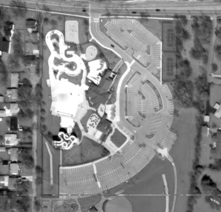 |
| Photo Courtesy of Illinois Natural Resources Geosptial Data Clearinghouse 2000 |