Introduction
In 1980, the small Central American nation of El Salvador witnessed the beginning of a Civil War between its military run government and a group of communist rebels (Haverstock, 1987, 31). The war raged for twelve years and eventually claimed the lives of 75, 000 Salvadorians, displacing thousands more (Foley, 1995, 29). Because of this war, many Salvadorians emigrated to the United States, the land of opportunity, in the early to mid eighties. Some of them settled around Washington D.C., the nation’s capital, and the only city that many of them knew of. This movement created numerous distinctive pockets of Salvadorians within the Washington metropolitan area. A prime example of one of these neighborhoods in the suburbs of D.C. is the neighborhood of Culmore in Falls Church, Virginia.
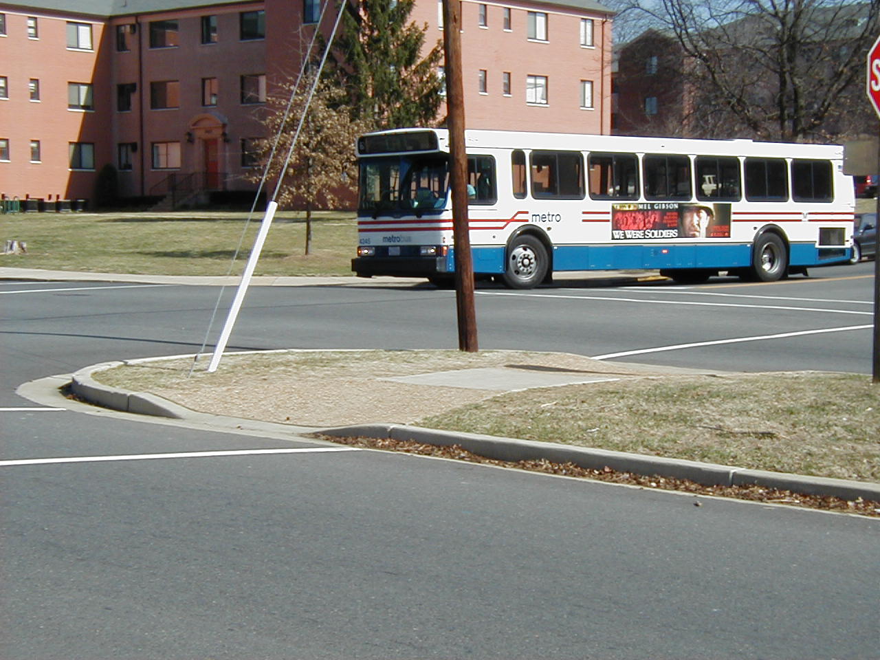
Figure 1-The metrobus shown here links Culmore to Washington D.C.
“Having lived near Culmore for twenty-one years, it has never been a part of my life at all. If someone were to have asked me what Culmore is, I would simply have said it is a Hispanic community. I only always knew that Culmore was different from my own area but before we studied it, I had no idea what a pervasive effect the residents of Culmore have had upon the various facilities in the community.”
-Mark Sturm
Within the geographic boundaries of Culmore, lay a distinct community, primarily due to the fact that the area’s high concentration of Hispanics. Most of the area within Census Tract 4516, Block Group 2, is occupied by the neighborhood of Culmore. The total population of that area is 3,638 of which 41.8% are Hispanic. The following is a racial breakdown of Block Group 2 obtained from the 2000 Census:
Figure 2-U.S. Census Data
A general conception is that immigrants come to America and assimilate American culture. However, by evaluating the distinctive area of Culmore and the Hispanic population within it, we found the exact opposite. The residential, commercial, educational, and religious institutions that were there before the influx of immigrants arrived, have adapted to the demographic change. These establishments now reflect the culture of the Hispanic population live within its boundaries and now Culmore is a community that has come to reflect the lifestyle of the new residents.
The community of Culmore is bordered on the north by Route 7 (known as Leesburg Pike). Glen Carlyn Drive was our original impression of the Western border. However, we later decided that to incorporate Bailey’s Park, Bailey’s elementary school, and Woodrow Wilson Boundary, recreational and educational facets of the community, and therefore the Western boundary was extended to include Knollwood Road, Beachway Drive, and Nevus Road. The southern border then consists of Beachway Drive, which bends slightly to form Blair Road. The Eastern Border of Culmore consists of Charles Street and Lake Street. These roads define Culmore because within them the residential, commercial, labor educational and religious sectors tie together to serve as a single functioning community.
Figure 3-Map of Culmore (circle in map is Bailey's Elementary, western boundary)