On
the southern slopes of the himalayas, around the different sources of the ganges and the yamuna rivers, there is an area believed to be holy: 'dev bhumi', 'land of gods'. After the snow has melted away in the higher reaches, tens of thousands of pilgrims and as well as tourists from all over india travel to four sacred places in the hills: yamnotri, gangotri, kedernath and badrinath, preferably in this order ( 'char dham yatra').
In the old days, or until two or three decades ago, this was a long, difficult and dangerous journey on foot or on horseback through difficult territory. today, the construction of motorable roads and availability of modern conveniences has opened up these areas, leading to a large increase in the number of visitors. not in all places did the new roads follow the old foot- and bridlepaths. a journey by bus or jeep between these places covers a longer distance but takes less time. the old paths in those sections where it is difficult to build roads are still in place and are mostly well preserved, baring a view exceptions. but there is only a small number of foot-travellers, these days.
i had the privilege to walk some of these forgotten paths.
these images were taken between kedarnath and joshimath between the fife kedars in summer 05. in autumn 04 i walked the foot path between mala and kedarnath. that section is known as
'triyugi narayana paidel marg.
whoever was able to hike to the source of the baghirati-ganga before 1994 years ago, you would have seen a larg population of 'sadhus' or religious mendicants along the path. in that year the forest department (वन विभाघ ) took over after the area around the source of the ganges was declared a 'national park' (in 1993). the traditional mendicants were pushed out and their primitive shelters removed. also most dabas as well as flying vendors disappeared from the path.
in 2008 the forest department, under the pretext of protecting the fragile environment, introduced a permit system, limiting the number of visitors each day, and also creating revenue from them. whoever wants to go into the area, has to get the permit in advance - and has to pay by the day.
gomukh used to be a place where pilgrims would go for a bath in freezingly cold water of the holy ganges splashing out from the ice. tapovan was a place where sages performed tapas and austerities in the wilderness. after the pilgrims and the mendicants have been pushed out, those places are marketed to wealthy indian and foreign tourists as destinations for ecofriendly advanture tourism.
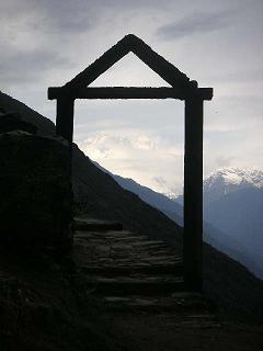
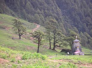
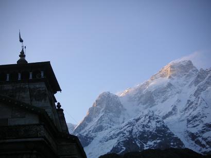 kedarnath
temple and mountain
kedarnath
temple and mountain
|
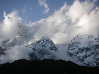 kedarnath
 mountain
kedarnath
kedarnath mountain
|
 kedarnath to kaliganga
kedarnath parvat
kedarnath to kaliganga
kedarnath parvat
|
 kedarnath to kaliganga
kedarnath parvat
kedarnath to kaliganga
kedarnath parvat
|
 kedarnath to kaliganga
kedarnath parvat
kedarnath to kaliganga
kedarnath parvat
|
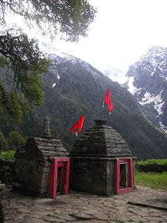
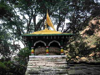 kalimath
lakshmi temple
kalimath
lakshmi temple
|
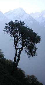
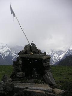
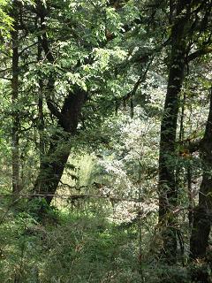
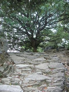 kali shila
path with tree
kali shila
path with tree
|
 kali ganga
kali shila
kali ganga
kali shila
|
 kali ganga
kali shila
kali ganga
kali shila
|
 kali shila
stairway
kali shila
stairway
|
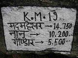 panchkedar
'mad'maheshwar: 14,750 km'
panchkedar
'mad'maheshwar: 14,750 km'
|
 panchkedar
|
 panchkedar
|
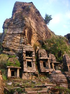
 madhyamaheshwar
 temple
madhyamaheshwar
madhyamaheshwar temple
|
 madhyamaheshwar
temples
madhyamaheshwar
temples
|
 madhyamaheshwar
shrine
madhyamaheshwar
shrine
|
 madhyamaheshwar
shrine
madhyamaheshwar
shrine
|
 madhyamaheshwar
shrine
madhyamaheshwar
shrine
|
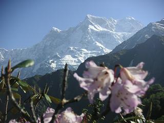 madhyamaheshwar
rododentron
madhyamaheshwar
rododentron
|
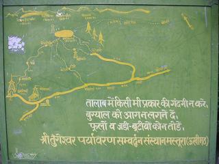 sari village
trecking map
sari village
trecking map
|
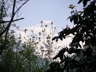
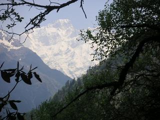
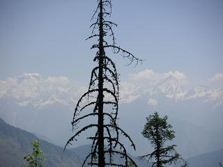
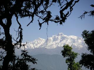 near deorital
kedarnath mountain
near deorital
kedarnath mountain
|
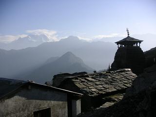 tungnath
 temple
tungnath
tungnath temple
|
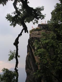
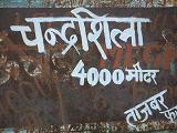 chandra shila
'4000 meter altitude'
chandra shila
'4000 meter altitude'
|
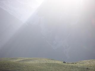
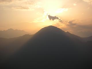
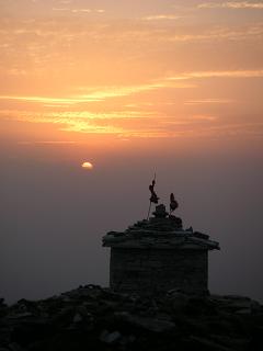 chandra shila
sunset
chandra shila
sunset
|
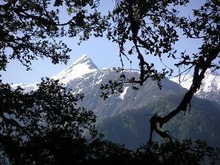
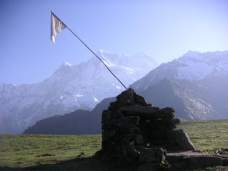
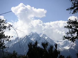
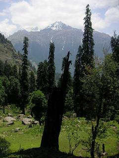
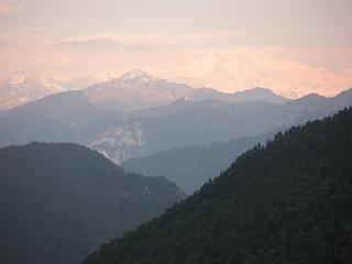 panch kedar
trishul or nanda devi
panch kedar
trishul or nanda devi
|
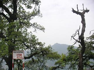 panchkedar
'2700 meter altitude'
panchkedar
'2700 meter altitude'
|
 anusya-devi
 temple
anusya-devi
anusya-devi temple
|
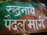 atri ashram
'rudranath foot path'
atri ashram
'rudranath foot path'
|
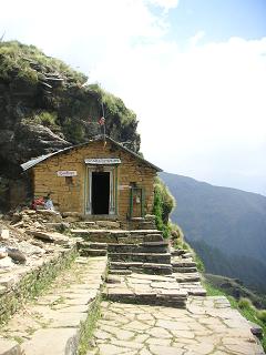 rudranath
 temple
rudranath
rudranath temple
|
 rudranath
temples
rudranath
temples
|
 rudranath
sunrise
rudranath
sunrise
|
 panchkedar
|
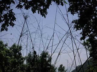
 panch kedar
jungle and mountains
panch kedar
jungle and mountains
|
 panch kedar
jungle and mountains
panch kedar
jungle and mountains
|
 panchkedar
|
 panchkedar
|
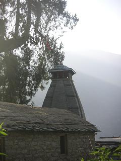
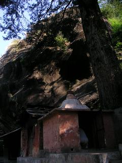 kalpeshwar
 temple
kalpeshwar
kalpeshwar temple
|
beyond
panch kedar:
badrinath
|