 |
|
|
|
|
|
|
|
|
|
|
|
|
|
|
|
|
|
|
|
|
|
|
|
|
|
|
|
|
|
|
|
|
|
|
|
|
|
|
|
|
|
|
|
|
|
|
|
|
|
|
|
Official maps of the New Mexico State Highway Department |
|
|
|
Recent Maps: 1974 - Present |
|
|
|
A few of the large format maps below are probably impossible to date precisely. The map listed as 1974 has a code of "74-1", and is copyrighted 1973. The 1977-78 is dated on the map inside. The c.1979 and mid-1980s maps are not dated at all. The years attributed to these maps are approximations based on the governor and other clues. The 1988 and 1992 maps are dated inside. The 1995 map, which has the same cover as 1988, is not dated. It has the code "95" in the lower left corner of the map. |
|
|
|
The 1974 and 1977-78 maps were issued by the State Highway Department and the Department of Development. The c.1979 and mid-1980s maps were issued by the State Highway Department and the Commerce and Industry Department. The 1988 map was issued by the State Highway and Transportation Department, and the Economic Development and Tourism Department. The 1992 and 1995 maps were issued by the State Highway and Transportation Department, and the Department of Tourism. |
|
|
|
 |
|
|
|
 |
|
|
 |
|
|
|
|
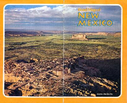
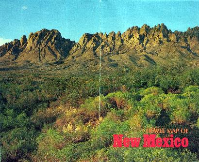
1974 - 2 Panel Cover |
|
|
|
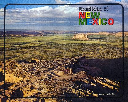
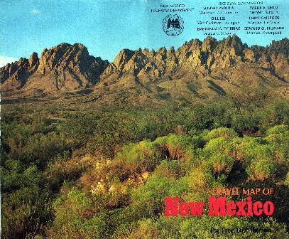
c. 1976 - 2 Panel Cover |
|
|
|
|
|
 |
|
 |
|
|
|
|
|
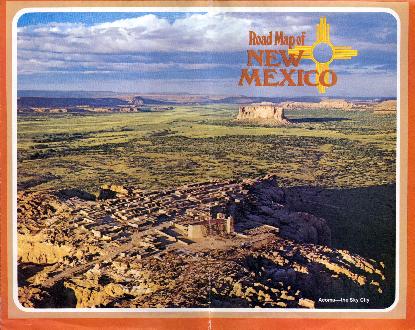
1977-78 - 2 Panel Cover |
|
|
|
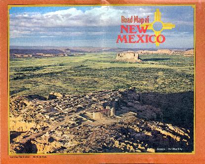
c. 1979 - 2 Panel Cover |
|
|
|
|
|
 |
|
|
|
 |
|
|
|
|
|
Mid-1980s - 2 Panel Cover (variety 1) |
|
|
|
Mid-1980s - 2 Panel Cover (variety 2) |
|
|
|
 |
|
|
|
 |
|
|
|
|
 |
|
|
|
|
|
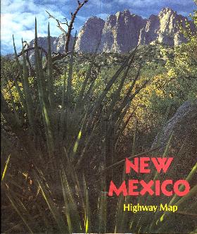
1988 - 2 Panel Cover |
|
|
|
1992 - 2 Panel Cover |
|
|
|
|
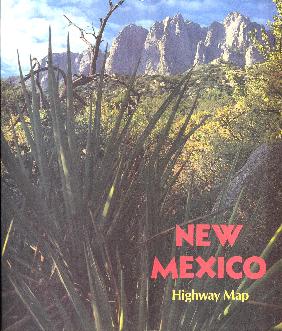
1995 - 2 Panel Cover |
|
|
|
|