 |
|
|
|
|
|
|
|
|
|
|
|
|
|
|
|
|
|
|
|
|
|
|
|
|
|
|
|
|
|
|
|
|
|
|
|
|
|
|
|
|
|
|
|
|
|
|
|
|
|
|
|
|
Official maps of the New Mexico State Highway Department |
|
|
|
The Post-War Years: 1946 - 1954 |
|
|
|
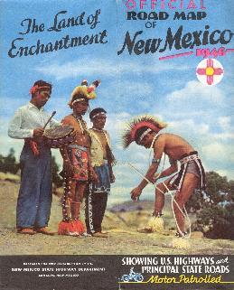
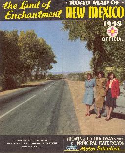
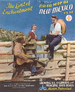
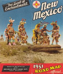
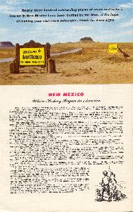
Due to World War II, no road maps were produced by the New Mexico State Highway Department for the years 1943, 1944 and 1945. The same 2-panel photo cover format from the early 1940s continued until 1951. It is believed that no map was issued in 1952, or in 1955. The 1953 and 1954 maps are not explicitly dated, except for population estimates listed inside. |
|
|
|
 |
|
|
|
 |
|
|
|
 |
|
|
|
 |
|
|
|
|
|
|
|
|
|
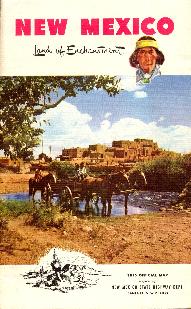
1946 - 2 Panel Cover |
|
1947 - 2 Panel Cover |
|
1948 - 2 Panel Cover |
|
|
|
|
|
|
 |
|
 |
|
|
|
 |
|
|
|
|
|
|
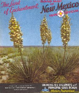
1949 - 2 Panel Cover |
|
|
|
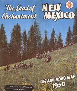
1950 - 2 Panel Cover |
|
|
|
|
1951 - 2 Panel Cover |
|
|
|
|
|
|
|
|
 |
|
 |
|
|
 |
|
|
|
|
|
 |
|
|
|
|
|
|
|
|
|
|
|
|
Front Cover - 1953 - Back Cover |
|
|
|
Front Cover - 1954 - Back Cover |
|
|
|