 |
|
|
|
|
|
|
|
|
|
|
|
|
|
|
|
|
|
|
|
|
|
|
|
|
|
|
|
|
|
|
|
|
|
|
|
|
|
|
|
|
|
|
|
|
|
|
|
|
|
|
|
|
Official maps of the New Mexico State Highway Department |
|
|
|
The Early Years: 1925 - 1933 |
|
|
|
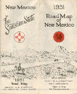
The first map shown here is dated 1925 - a few earlier maps are known to exist (1923, 1918, and possibly others), but the 1925 map is the first one to feature a cover design. The maps prior to 1925 were printed on one side of the paper only. These early maps are characterized by simple, black and white text covers to begin with, developing into the 2-panel drawings of the early 1930s. Credit on the front of the map changed to "State Highway Department" in 1931, from "State Highway Commission" on earlier maps. |
|
|
|
 |
|
|
|
 |
|
|
|
 |
|
|
|
|
|
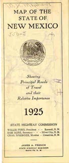
Front Cover - 1925 (not my scan) |
|
|
|
1926 - Sorry, no image yet! |
|
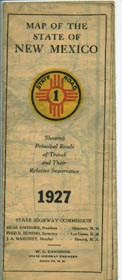
Front Cover - 1927 (not my scan) |
|
|
|
|
|
|
 |
|
 |
|
|
 |
|
|
 |
|
|
|
|
|
|
|
|
|
|
|
|
|
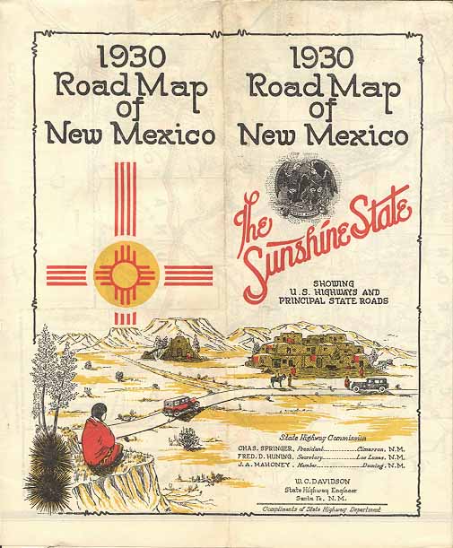
1930 - 2 Panel Cover (not my scan) |
|
|
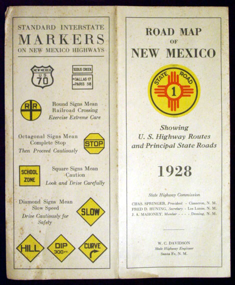
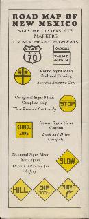
Front & Back Cover - 1928 (not my scan) |
|
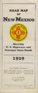
Front Cover - 1929 - Back Cover |
|
|
|
|
|
|
|
 |
|
 |
|
|
|
 |
|
|
 |
|
|
|
|
|
|
|
|
|
|
|
|
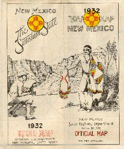
1932 - 2 Panel Cover |
|
|
1931 - 2 Panel Cover |
|
|
|
|
|
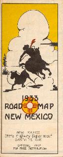
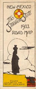
Front Cover - 1933 - Back Cover |
|
|
|
|
|
|