 |
 |
 |
 |
 |
 |
 |
 |
 |
 |
 |
 |
| THIS SITE has a lot of pictures of the Port Gibson Battle area cemeteries, homes, etc. |
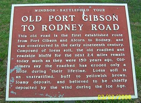
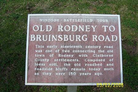
| Exiting Port Gibson, Ray and I followed our host down Rodney Road. Then he veered to the left and things got interesting. I suggest going to the Chamber of Commerce Tourist information center on Church Street in Port Gibson and get the guided tour map to all these places. The lady in there is just super and there is not much she can't answer about it all.. |
| Ray likes this picture for some reason. Probably the Ray factor. |
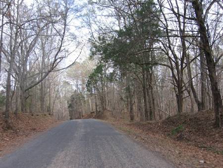
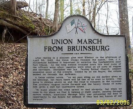
| This area, where Grant traveled from Bruinsburg to the area around the Shaffer House, is unspoiled. It is the way it looked in 1863. |
| Below is our host waiting on the picture takers. |
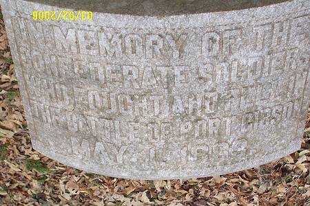
| Then above on a bluff I saw the stone.We were in the middle of the battle. The stone marks the place where the first shots of the Battle of Port Gibson were fired. |
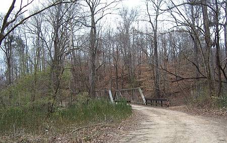
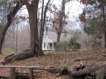
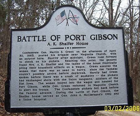
| The Shaifer House is just past the marker. |
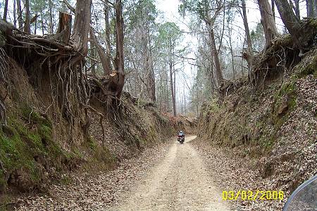
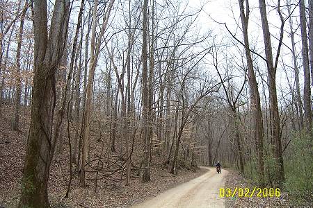
| Next, I wanted to see Rodney. Our host believed that the road started on the campus of Alcorn University. We were lost roaming the campus for about 45 minutes. I think I saw it but was not willing to take the lead. I was finding our parade of three lost old white guys on motorcycles, pretty funny. We eventually found an alternate route to Rodney. |
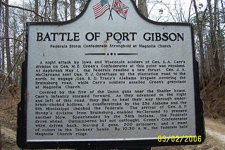
| You should stop right now and take the short tour of the battle fields that make up the Vicksburg Campaign, which Port Gibson was the second, at the National Parks Site. It is made up of short explanations of each battle with pictures. If not now, come back. Click Here |