
Old Ridge Route
Ride 17

Trip Length: 20-23 miles
Ride Time: 3.5-4 hours
Difficulty: moderately streneous non
technical
Total elevation climbing: about 2000
feet
Ride terrain: pavement except dirt
on exploring parts
Check this ride out on motion base
Location:Take Hwy 5 (Golden State
Freeway) to Templin Exit. This is the first exit after
making that tough climb past Castaic. Go right about 1 mile
to the intersection that cuts across on both sides of the
road. There will be a sign saying "old ridge route". The
road at this point will be at the peak of a hill. Park off
the road. You will cross the road and go left with a nice
short climb to limber you up. You are now on the old ridge
route. One can travel in this direction for about 20 miles.
This ride goes 10 miles to a convenient spot for a little
dirt road exploration. There is no water available and the
area is wind prone. Dress according. The highest point on
the ride will be almost 4000 feet.
Description: This ride is on a
historical site. You are now riding on the route before
there was Hwy 5. Completed in 1915 this was the shortcut
from Newhall to Gorman. Believe it or not there used to be
motels and eating places on this route. This is a good ride
to do either in the spring, winter( not right after a rain)
or in the fall before it gets really hot.
The basic ride meanders up and down for about 9.5
miles with a lot more climbing than descending. The
climbing is not too difficult. After the first little climb
you drop into a area where there are houses. You will see a
sign thanking the firefighters for saving their homes.
There was a big fire in the area either in 1995 or 1996.
You can see along the ride the burnt out areas.Quickly you
leave this area and start your first climb. There is a dirt
area about .2 miles which gets very muddy after a good
rain. Once you reach the apex of this climb there will be
two spots for viewing. Pick the 2nd spot where there is a
large dirt area off to your right. Take in the beauty of
the area. Down 1000 feet and to your right is the Northern
tip of Lake Castaic. If you follow the road that drops down
here, you will see 2 canyons. The 2nd canyon with a
distinct trail leading into is the way to Warm Springs Mt.
(ride 14). Look all the way up at about 2:00 to sight on
the mt. with the antennas on it. This is Warm Springs
Mt.4000 ft elevation. The reddish mountain at about 10:00
is naturally called Red Rock Mt.with an elevation of 4400
ft.The ridge of mountains in back of Red Rock are the
Liebre Mountain range with the highest peak around 5700
feet.As you are riding you will see in the distance several
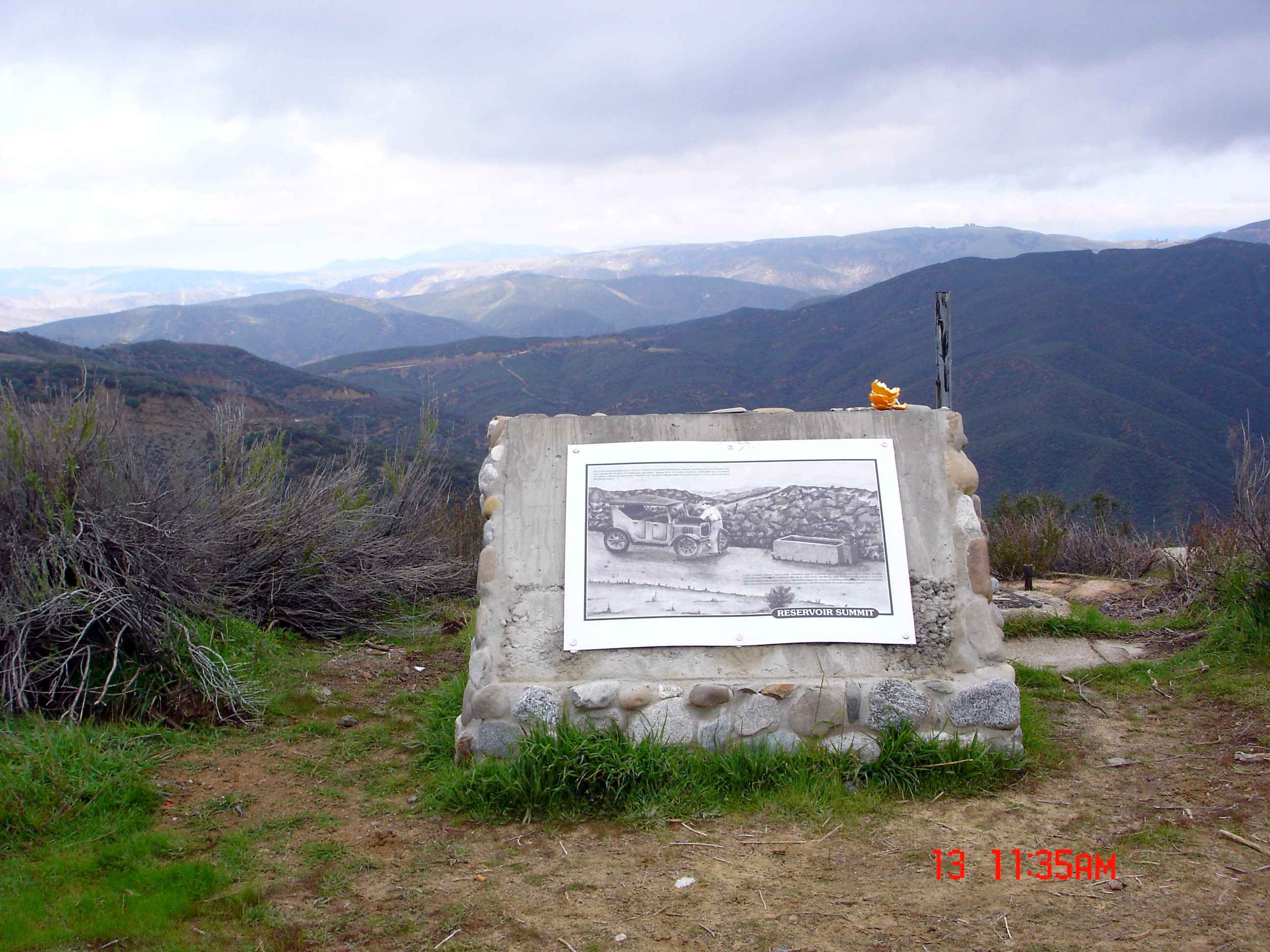
lone pine trees on a summit. This is our destination,
Reservoir Summit.
While you work your way up to Reservoir
Summit,enjoy the many view spots of the Liebre range and
Hwy5 1000ft below. Wonder at how the old cars made this
trip and at how the gigantic power lines were installed
that crisscross this area. When you reach the summit, take
the first dirt road on your left and climb to the peak.
Take in the beautiful view of this wilderness area.�Frazier
Mt and its foothills open up to you. This is a good place
too kick back.Explore the fireroad on your left for a mile
or 2 to get exquisite views of Lake Pryamid and the
mountains surrounding it. Don't drop down too far because
this fireroad leads to Hwy 5. Just ride around here for a
hour or so exploring the different fireroads to get unique
views of the area.
You will not see many mountain bikers here,probably
more 4 wheelers enjoying the backroads of LA. This ride can
also be done starting at ride16(Liebre Mt) and continuing
to this spot. This adds an additional 45 minutes driving
but they each are equally as pretty. Try both
rides.
Here are some pictures of the area
� 1997 [email protected]
This page hosted by  Get your own Free Home Page