

Staff:
Project manager: Kevin Knight
Local Director: Valentino Shal
Researcher: Pedro Maquin
Mapper: Thomas Caal
Technical Expert in GIS: Peter VanderWoude
Location of Office:
Corner José María Nuñez and Queen Streets
Punta Gorda, Toledo District
Belize Central America
Tel: 501-722-0115
E-mail: [email protected]
Webmaster: Thomas
Caal
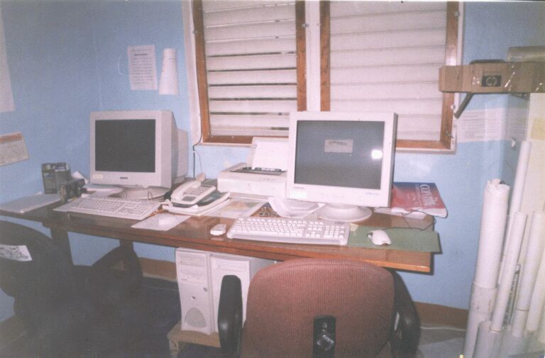
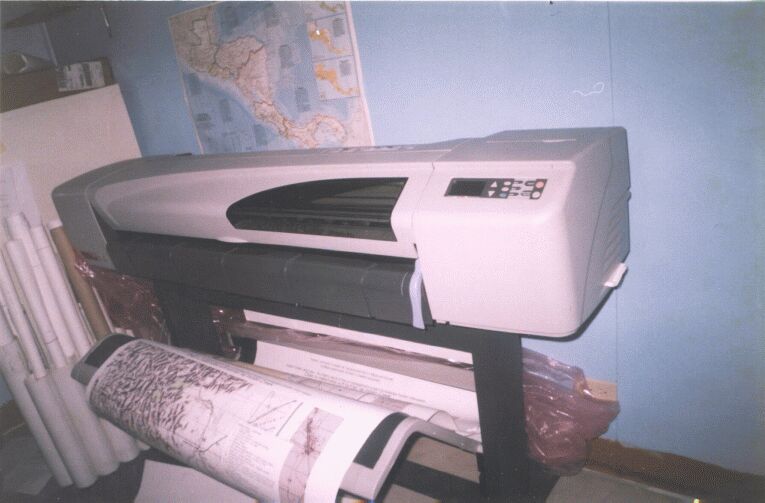
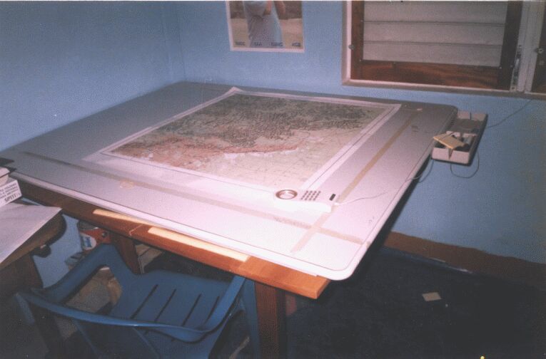
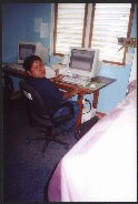
The CO-MANAGEMENT OFFICE is equiped
with mapping and research
equipments. The community of Indian Creek is currently being mapped
for village boundary between Big Falls and Golden Stream and in land
use and occupancy. Daily village meetings arebeing held by the mapping
centre and the Maya Leaders' Alliance for the process of research and
mapping to occur without delay of solutions and answers from the Villagers.
The Research method followsa a procedure that ensure the security of
data collected with the signing of confidentiality forms by both the
interviewers and interviewees. A methodology is used so that the data
collected are up to date and accurate.