 |
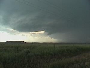
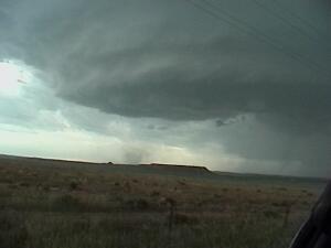
| A developing supercell over the Colorado-Nebraska border July 4, 2001. This cell developed over the Cheyenne Ridge and moved very slowly south and eastward. This picture was taken looking northwest and I was positioned under the anvil down shear of the main updraft. |
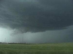
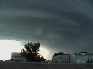
| This is the same supercell sometime later. Notice the small wall-cloud developing as rain cooled air is lifted back into the updraft. This storm had various radar indicated tornado warnings throughout the afternoon, but did nothing more than kick up a few dust whirls under the updraft as RFD pulses occurred. |
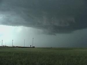
| This rather weak and stationary supercell developed near Byers, CO on May 28, 2001. This was the same day that the Ellicot, CO tornado occurred. |
|
 |
 |
 |
 |
 |
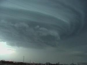 |
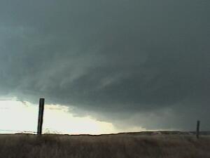
| This beautiful LP supercell went through Greeley on September 1, 2000. |
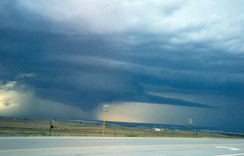 |
| A tail cloud, wall cloud, and rain wrapping around the meso all show up nicely on this supercell between Greeley and Loveland, Colorado in September 1999. This picture was taken by Dallas Smith. |