 |
|
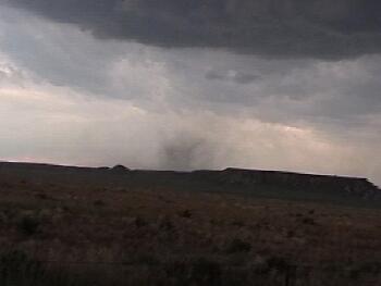
| A non-tornadic dust whirl associated with a surge of RFD wrapping under and around the mesocyclone. This occurred under the 7-4-01 northern Weld county storm. |
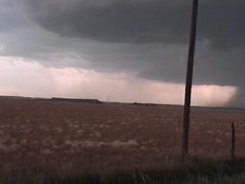 |
| Another small column of dust under the same updraft. Notice a second updraft base in the distance. There were two mesocyclones on this storm (or two supercells within close proximity to each other). |
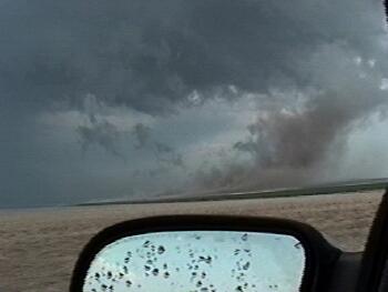 |
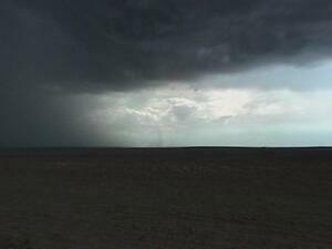
| This video capture was taken looking ESE as a strong RFD pulse was being wrapped around an intensifying mesocyclone. This was shortly after the Bird City, KS tornado of 6-29-00. |
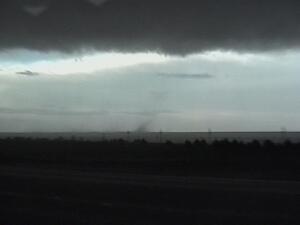 |
| A gustnado develops on the leading edge of outflow 4-20-01 in western NE. |
 |
| A storm developed on the Denver convergence boundary in August 2001 and a gustnado lives along the storms outflow. |