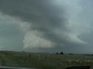
| The 300 mb 2100Z analysis shows a trough over the western United States with a strong jet streak working down the back side. A broad area of large scale lift was present over the High Plains leading to cyclogenesis in eastern Wyoming. A warm front was pushing north through Nebraska and by late afternoon it was sitting along the NE-SD border with dewpoints in the mid to upper 60s behind the front. CAPE values greater than 2500 J/kg were present over western NE, but a strong cap prevented convection from firing in the southern part of western NE. The 0000Z LBF sounding shows the strong cap present, but with an LI of -7.7 and 2655 J/kg of CAPE. The 2100Z 700 mb analysis shows the cap was weak enough in nothwest NE (just above 10 degrees C) that storms were probable. The 2300Z surface analysis also shows a local area of backed and stronger winds in western NE (leading to greater helicity values). Storms developed in eastern WY and strengthened as they moved into NE where more moisture and better helicity was present. This was my first experience chasing in this region and I was rather disappointed with the road network. I left BFF, headed north into no-mans-land, and captured the video clips shown here. |