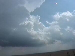
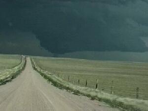
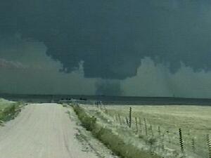
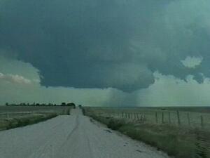
| All the ingredients were coming in to place on 7-21-00 for a classic northeastern Colorado severe weather day. A cold front pushed through several days prior to this event causing humid central Plains air to upslope into the high plains of eastern Colorado. An overnight MCS (satellite-radar composite) released an outflow boundary into Colorado reinforcing the moist southeasterly low level flow already in place (2200Z surface obs). A short wave rotating around a broad high pressure system over the West increased midlevel flow to near 40 kts contributing to about 50 kts of deep layer shear (0000Z 500mb analysis). Denver's morning sounding (DNR 1200Z) showed steep lapse rates, which led to high afternoon CAPE values over eastern Colorado with sufficient surface heating and higher dewpoints. Everthing was in place for supercells to develop. |