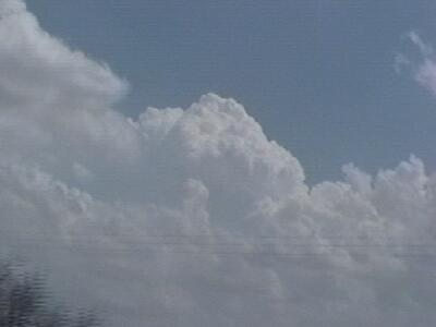
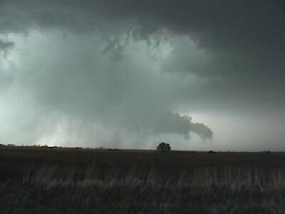
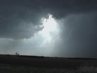
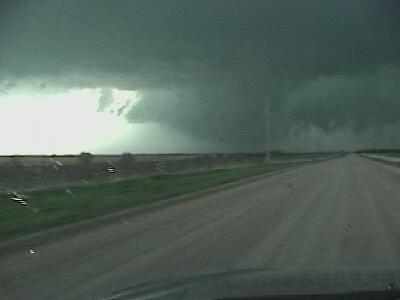
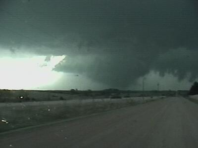
| Dallas Smith and I left Greeley, CO at around 8:00 am heading for the Hill City, KS area to check obs. After contemplating heading south for some time we decided to stay in northern Kansas as towering cumulus were already firing at 2100z. The surface obs also looked fair as lower 60 dewpoints were advecting north and mixing down. We were hoping that the surface winds would back in response to the aproaching 500mb wave. We stuck with the first towering cumulus that we encountered and observed several cyclic mesocyclones before one produced a tornado. This tornado developed shortly after an outflow boundary pushed into our observed storm from the south. The following are video captures from this event. |