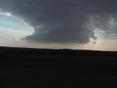
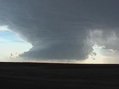
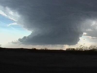
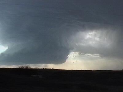
My first real chase of 2002 took Lee Cronce and I to northwestern Oklahoma on 4/17.
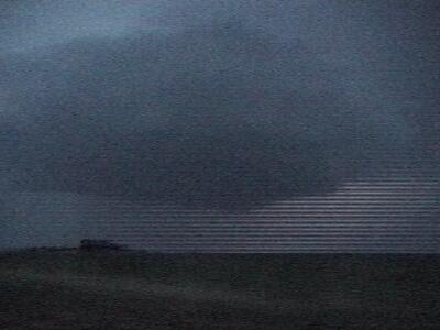
We targeted the Gage, OK area as we got a late start leaving Grand Island, NE from the previous days unproductive chase. We contemplated heading back home to Colorado, but all the ingredients were coming together such that supercells were probable in OK. The 2300Z surface obs show a dryline stretching from southwest KS to the TX panhandle. Dewpoint values greater than 70 F were being advected into our target area. High instability (2200Z surface based CAPE) along with SRH values > 200 m^2 S^-2 led to 3 km EHI values more than sufficient for supercells. The cap broke while we were trekking south through Kansas approaching Medicine Lodge. As we crossed the border into Oklahoma our target storm was issued a tornado warning, but it was 40 miles to our southwest and looked rather unimpressive. As we approached it from the east, the storms updraft widened and rotation was clearly visible. The storm displayed LP characteristics thoughout its life cycle. |