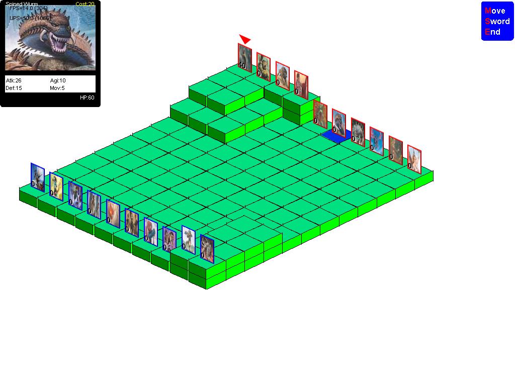
I decided that I want to start creating a variety of units, so I needed a way to mass produce them. Before for the map icon I would have to hand crop and resize an image, and that was getting painful. So I began experimenting with ways to create the unit markers programatically. This was the first attempt. I tried to draw the units with perspective but it becomes too hard to see the units. The problem is that the units have to fit across the side of a tile rather than across the diagonal, so they must be thinner, and the image is being downsampled too much. This approach could look OK is the tiles were bigger. I may revisit this in the future when I spend some time working on maps. It's hard to say at this point how big maps will be and how zoomed out the view should be. It's quite possible the size of a map tile will increase and this approach will work better.
I like this approach for 2 reasons. One is that the units look like they belong on the map more. The second reason is that when units bunch up it is *much* easier to see with this perspective than the other one.