|
Texas is known as the Lone Star State, in reference to the state flag. The flag displays a single, five-point white star on a field of blue with an upper white horizontal stripe and a lower red horizontal stripe.
Texas declared independence from Mexico on March 2, 1836, to become the Republic of Texas.
Texas was admitted to the Union on December 29, 1845, as the 28th state.
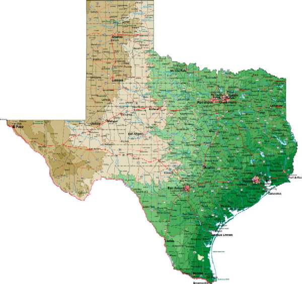
Land Area - 262,017 miles
Water Area - 4,790 square miles of inland water
Coast Line - 367 miles
Longest point from north to south - 801 miles
Widest point from east to west - 733 miles
Highest Elevation - Guadalupe Peak at 8,749 feet
Lowest elevation - sea level along the Gulf Coast
Road miles - 305,951 (most of ANY state)
|