DETROIT
|
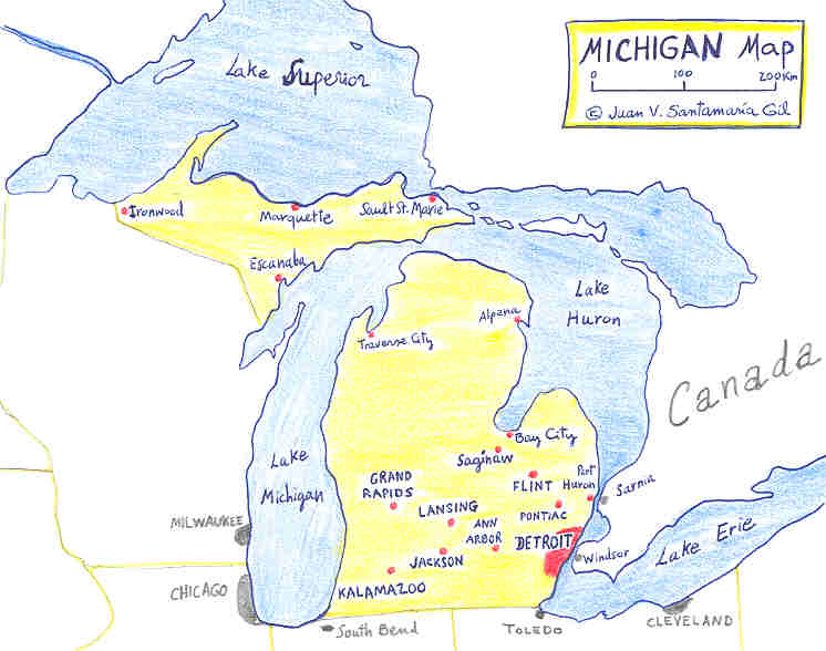
Imagine yourself in the middle of the busiest square ever known: Campus Martius. Electric cars, suburban lines, people walking fast . . . Yes, you are in Detroit in the 1920´s. Long, long avenues to all cardinal points: Woodward, Gratiot, Michigan, Fort St., Grand River . . . This were one day the roads to Port Huron (Gratiot), Pontiac and Saginaw (Woodward Ave.), Lansing (Grand River), Ypsilanti and Ann Arbor (Michigan Avenue) . . . Now are avenues and streets of that great metropolis named Detroit ("the strait") because a French trading post in XVIII century between Lake St. Clair and Lake Erie was the origin of "Motown".
 |
Of course car industry was and is
the key point for the development of Detroit and
surrounding cities: Dearborn, Pontiac, Flint,
Saginaw. Ford Motor, General Motors, Chrysler, Packard and other companies fuelled the prosperity of Detroit and Michigan for years to come . . And not only. Nearby Windsor (Canada), Toledo (Ohio) and other cities across the Mid-West were involved in the car industry. |
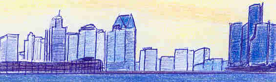
Today Detroit is the 5 th largest metropolis of the nation after New York, Los Angeles, Chicago and Filadelfia. More than 5 million people live in this metropolitan area. Downtown Detroit is alive with an incredible array of exciting attractions, from Casinos to Cobo Conference Center, from the acclaimed Renaissance Center to the Eastern Market and the new sports venues like Comerica Park and Ford Field (will host the 2006 SuperBowl), Museums, all easy to reach with the trendy "People Mover", the elevated light monorail across downtown.
© TEXT: Juan Vicente Santamaría Gil. 2004
