MAPS
Click on the map to bring up a 60% sized JPG image. All maps are avail from the CSO Clan site. Click the Link below to go there.

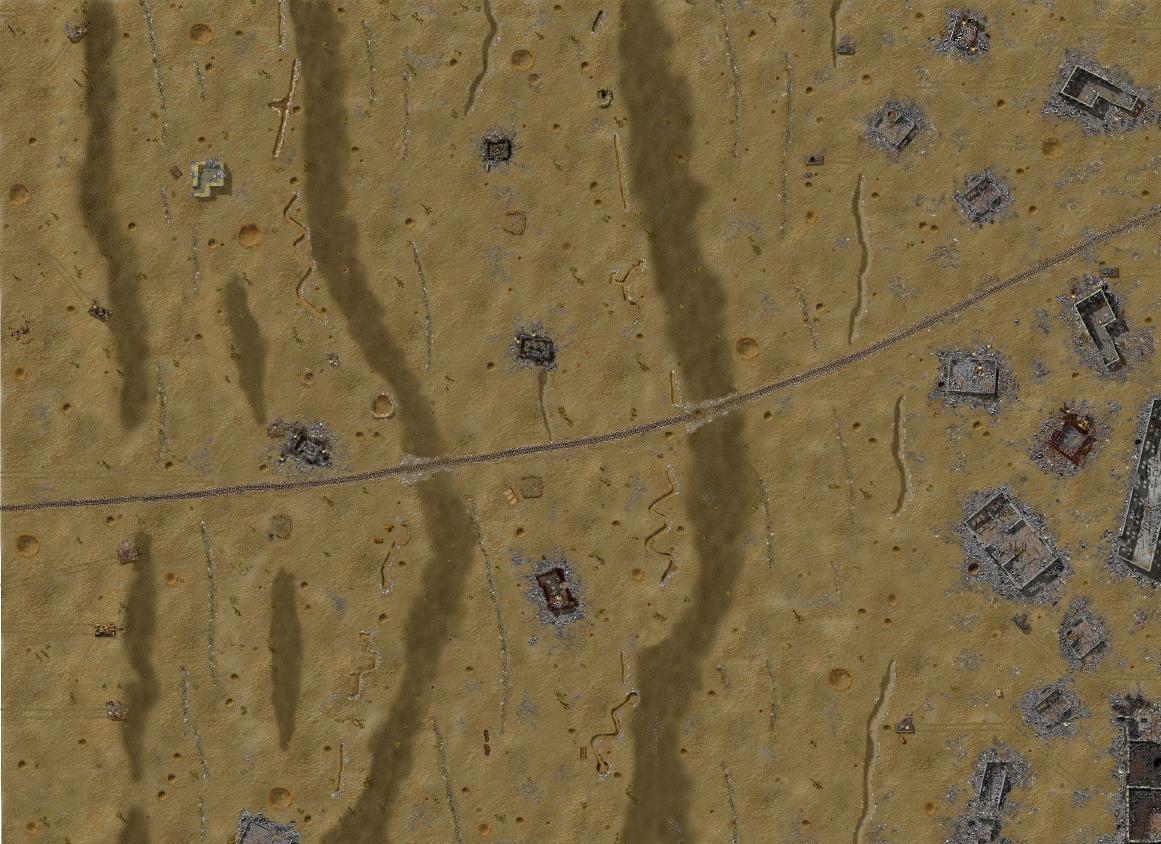
Wadi Al Kazar......Small desert-type map, open terrain with rocky gullys.
Seelow Heights....Germany's last stand before Berlin in May 1944, these terraced hills just west of the Oder river were the scene of some of the most fanatical fighting as Zhukov's massed armored formations broke out of the Kustrin bridghead. Map is designed for Allied attacks.
Ambush......Wilderness area of the east front. Treelines and heavy cover are divided by clearings which contain numerous German and Russian wrecks coded to explode if hit with large caliber rounds (mortars, maingun, grenades).

Shrine.....Jungle map made for use with Pacific elements (Nam mod, Pac mod). Maybe played with reg CC elements, as each bush is coded separately, but palmtrees will show up as conifers.

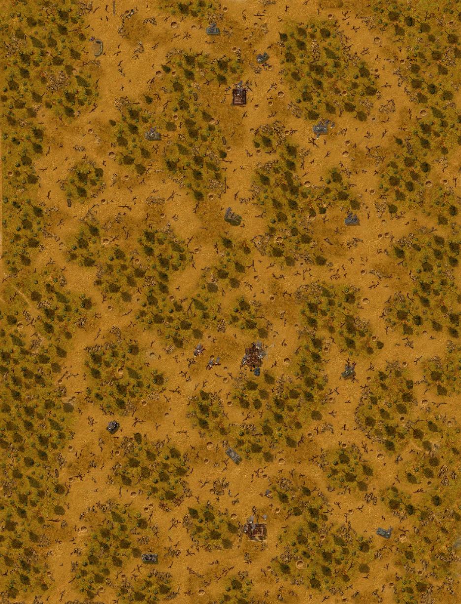
Oakhills......Another wilderness map which can be used for many theatres. Good for infantry patrol engagements.
More maps...