 |
|
|
|
|
|
|
|
|
|
|
|
|
|
|
|
|
|
|
|
|
|
|
|
|
|
|
|
|
|
|
|
|
|
|
|
|
|
|
|
|
|
|
|
|
|
|
|
|
|
|
|
|
|
|
|
|
|
|
|
|
|
|
|
|
|
|
|
|
|
|
|
|
|
|
|
|
|
|
|
|
|
|
|
|
|
|
 |
|
|
|

|
|
|
|
|
|
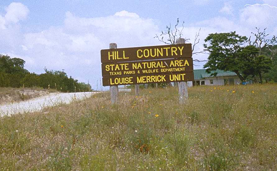
50Km Training Run at Hill Country State Natural Area
near Bandera, TX
Saturday May 25, 2002
by Linda Hurd |
|
|
|
 |
|
|
|
To my Friends and Family: I took these photos during a training run on Saturday of Memorial Day weekend at Hill Country State Natural Area ( located 45 miles northwest of San Antonio ). I completed the first 50km loop with the group , and some of the others ran longer.
This trail training run was organized by Joe Prusaitis of the Hill Country Trail Runners Club in Austin. The purpose of the run was two-fold: 1) an opportunity to run up to 100km on hilly rugged trails for those folks preparing for mountain 100's this summer, and 2) a preliminary check-out of the course Joe plans to use at the inaugural Bandera 100km/50km/25km trail race on January 12, 2003. Joe wrote-up a report on this training run.
A bulk of the land comprising Hill Country State Natural Area was a donation from the Merrick Bar-O-Ranch with the stipulation that it "be kept far removed and untouched by modern civilization, where everything is preserved intact, yet put to a useful purpose." |
|
|
|
 |
|
|
|
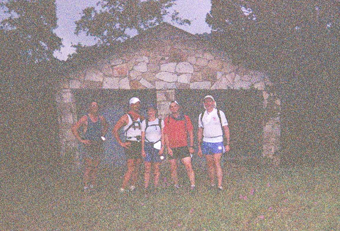
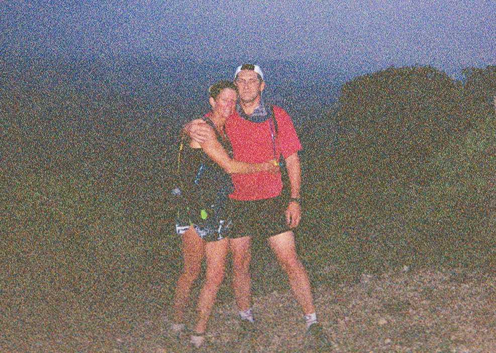
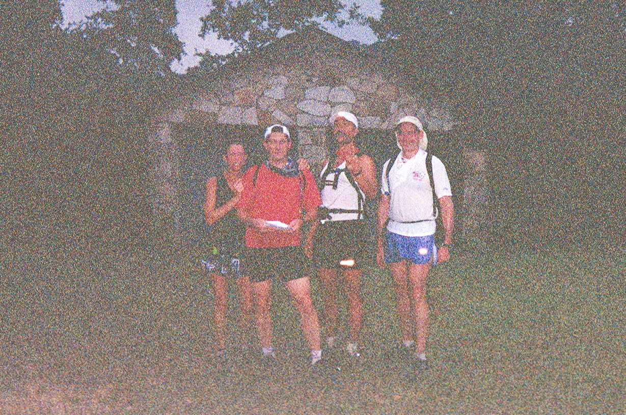
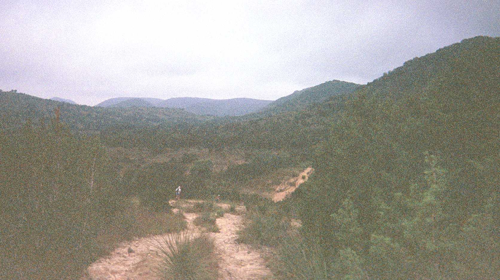
The group of us started early at 5:20am with a fine refreshing mist in the air. We used flashlights and headlamps until about 6:15am. Unfortunately some of the first photos taken that morning turned out of ppoor quality: very grainy and dark.... probably due to a combination of the one-time-use camera and the overcast skies. (the quality of the photos improves slightly as the day wears on). We were very lucky to have the overcast skies that morning which helped to keep the temperatures cooler. |
|
|
|
L-R: Joyce, Joe, David, and Mike in front of a rustic stone structure. |
|
|
|
L-R: Glenn (a.k.a. Grenn) , David, Linda, Joe and Mike |
|
|
Joyce and Joe at one of the overlooks. |
|
|
|
|
|
 |
|
|
 |
|
|
|
|
 |
|
|
|
|
|
|
|
|
|
|
|
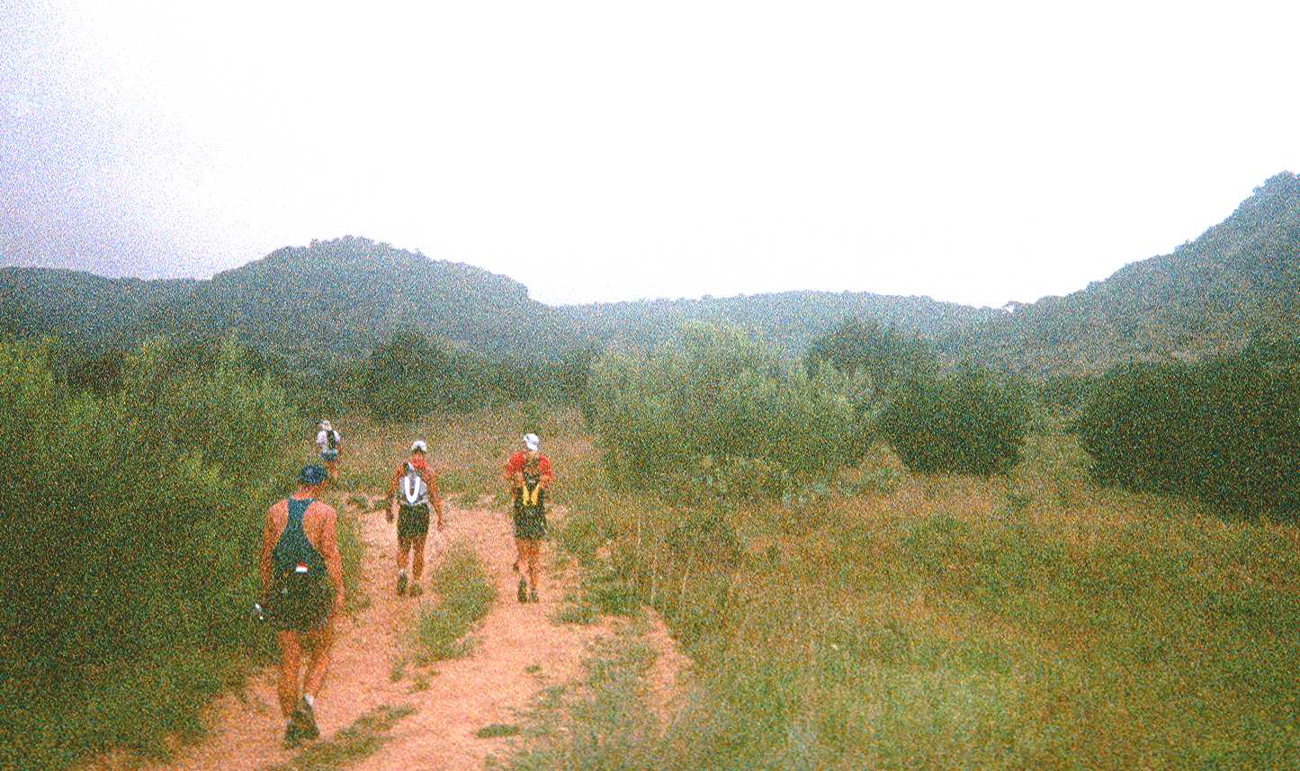
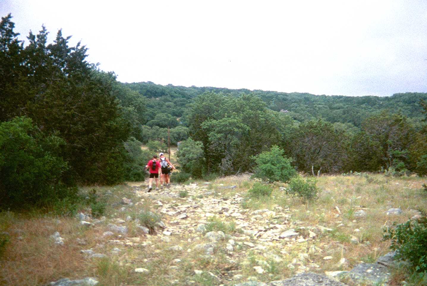
One of our walking breaks: Glenn is in the foreground, ahead of him is David on left, Joyce and Joe on the right... and making a turn to the left in background is Mike. |
|
|
The way to Ice Cream Hill ...... photos are still grainy. |
|
|
|
|
|
|
 |
|
|
|
 |
|
|
|
|
|
|
|
|
|
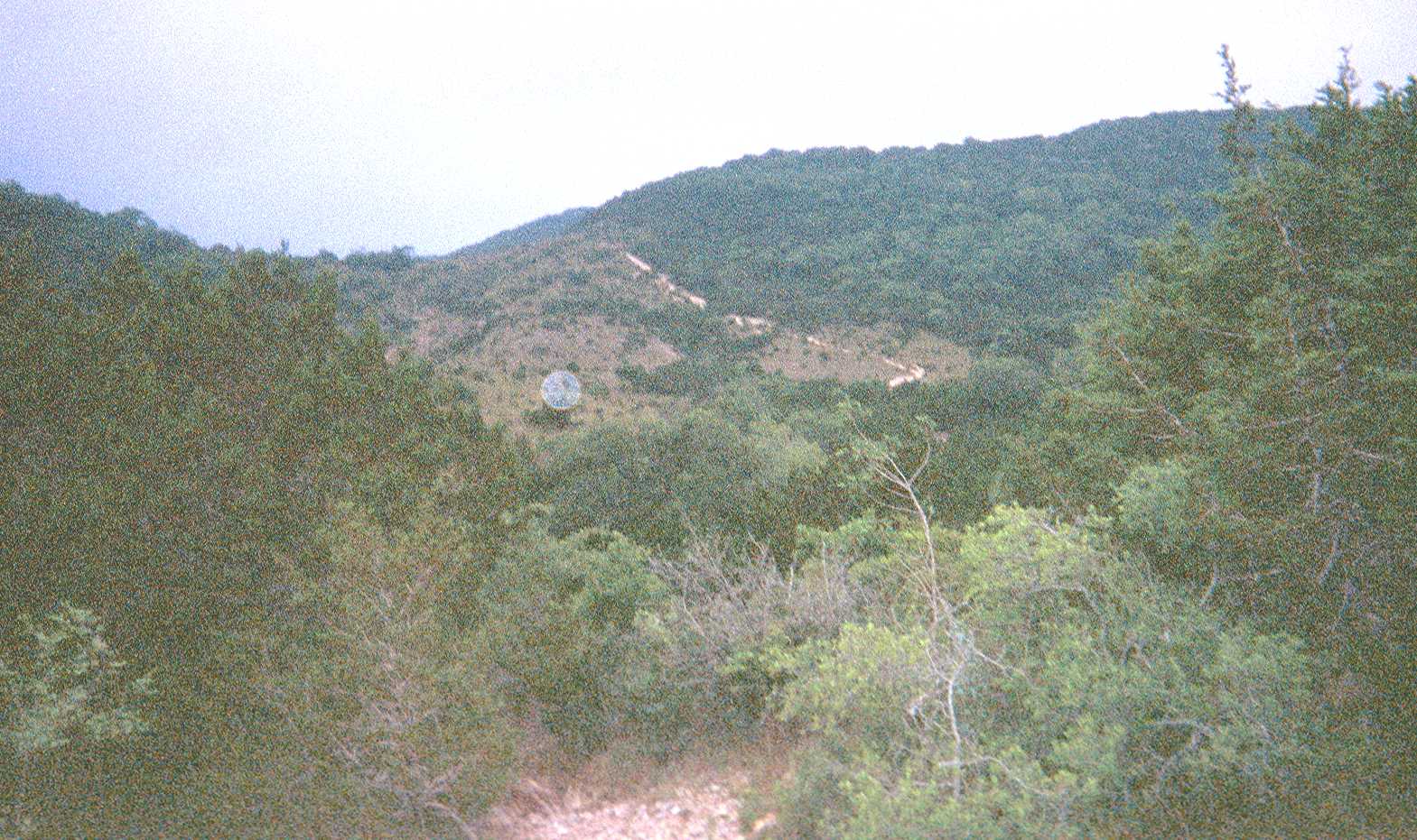
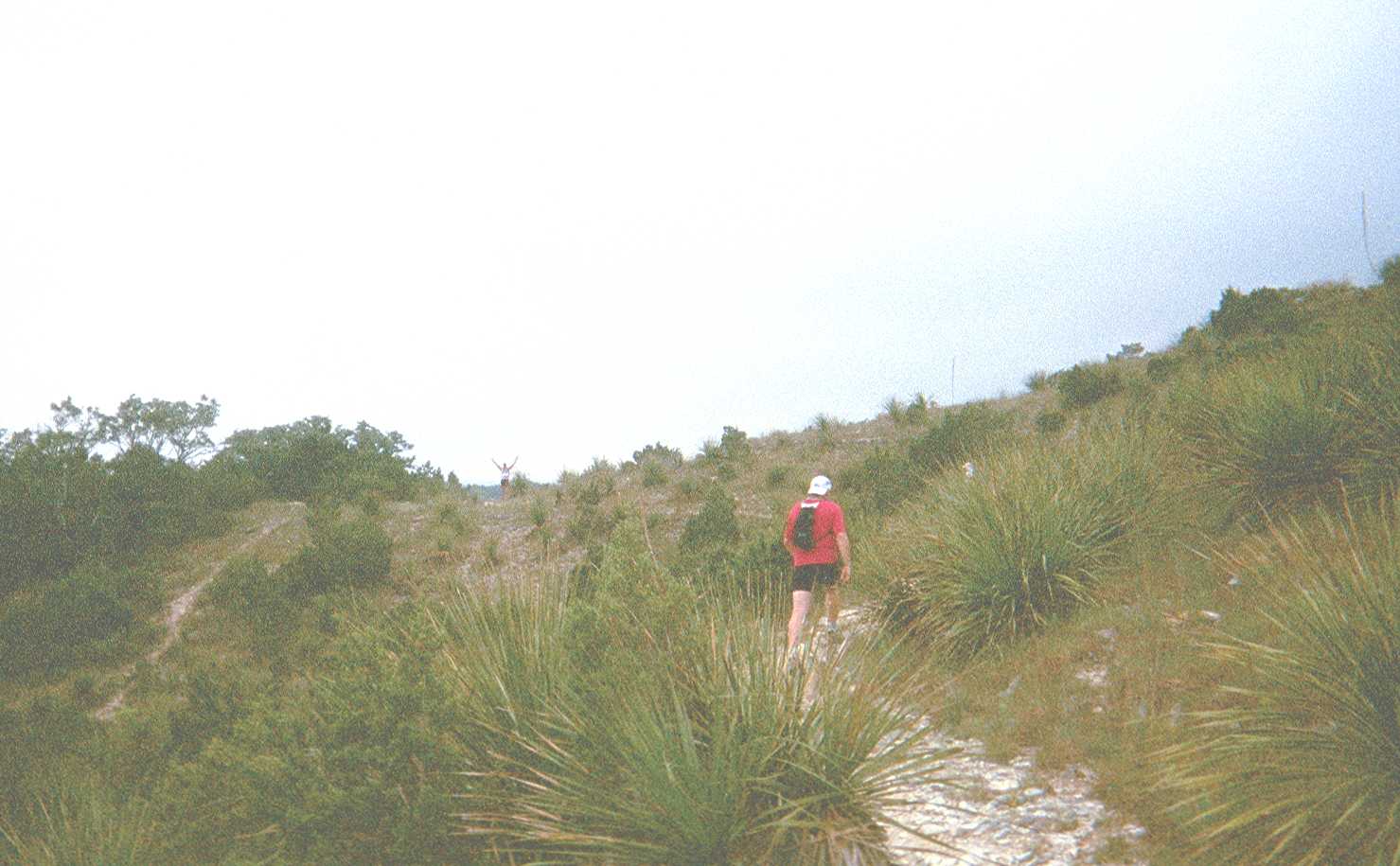
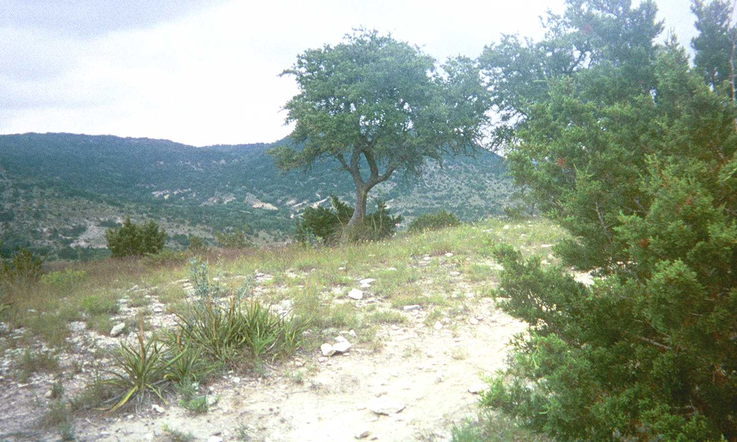
The section of trail leading part way up Ice Cream Hill comes into view ahead of us. (there is an artifact in the photo from the development process). |
|
|
|
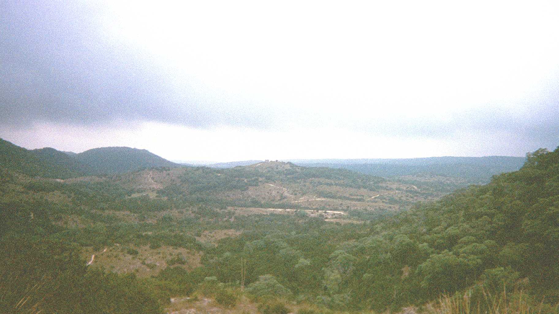
The view looking back as we climb part way up Ice Cream Hill |
|
|
|
|
|
 |
|
|
|
 |
|
|
|
|
|
|
|
|
|
Joe climbs the rocky trail near the forefront of photo. David can be seen at the top of Ice Cream Hill trail with his arms up in the air. In the lower right section of the photo are some sotol plants. The edges of the leaves are sharp like a sawtooth. |
|
|
|
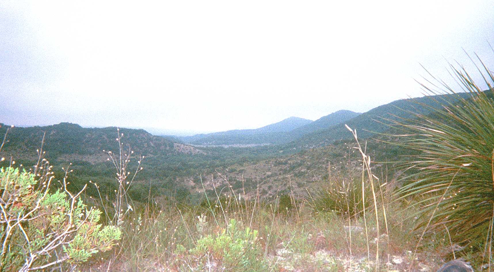
The view from the top of Ice Cream Hill trail. The photo does not do justice to the delicate white wildflowers in the foreground of this photo. |
|
|
|
|
|
 |
|
|
|
 |
|
|
|
|
|
|
|
|
|
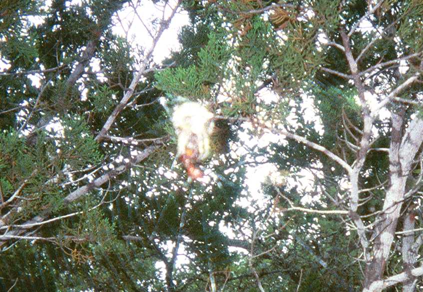
One of the many large spiders we encountered...some were encountered more closely than others, and David threw rocks at some of them .. the spider in this photo has trapped its Saturday brunch . (a june bug?) |
|
|
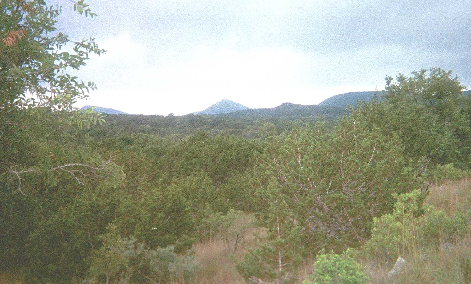
Looking back at Ice Cream Hill from a different section of Hill Country State Natural Area: |
|
|
|
|
|
 |
|
|
|
|
|
|
 |
|
|
|
|
|
|
|
|
|
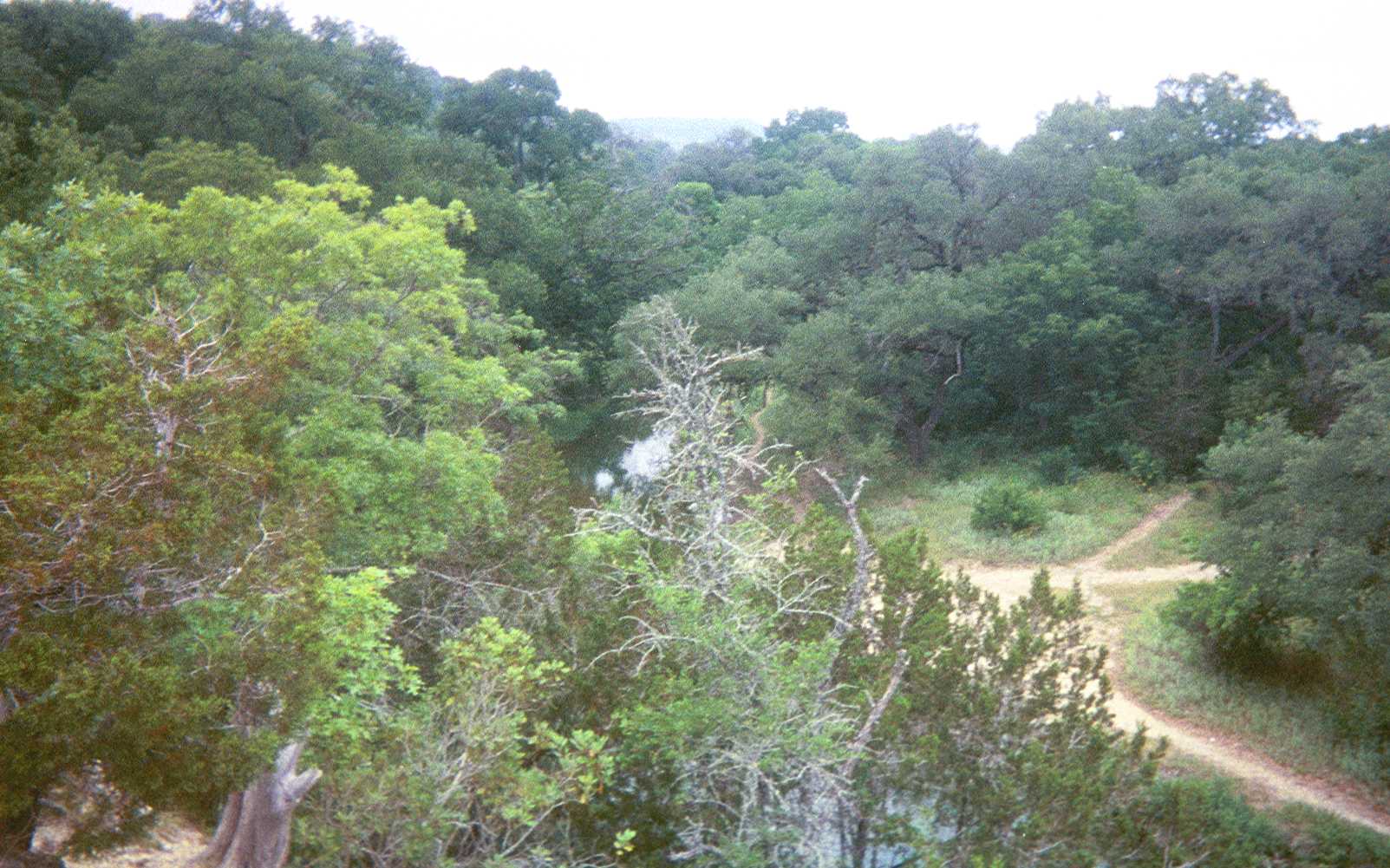
There is a sudden cliff/drop-off along the outer edge of the trail in this section... then the trail quickly descends into the mud along the water's edge. Joyce mentioned that she remembered once seeing a snake in this section of the trail. |
|
|
Many sections of the trails are strewn with loose limestone rocks as this photo demonstrates. Joe likened these sections of the trails to the old roads leading into Rome. |
|
|
|
|
|
|
 |
|
|
 |
|
|
|
|
|
|
|
|
|
|
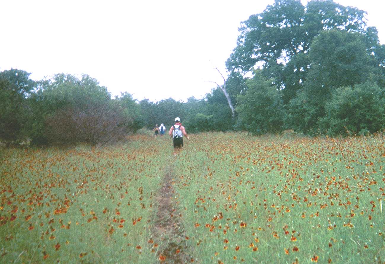
Traversing through a field of wild flowers (Wild yellow-orange daisies that left our legs covered with spots of yellow pollen) |
|
|
|
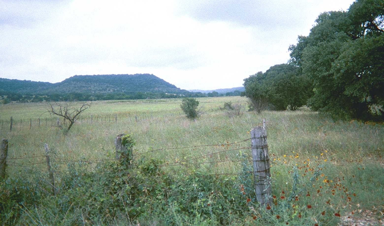
A pastoral open field that we passed by. |
|
|
|
|
|
 |
|
|
|
 |
|
|
|
|
|
|
|
|
|
A view from top of Cougar Rock, part of the "Twin Peaks" section of the State Natural Area. One traverses a saddleback from "West Peak" in order to reach Cougar Rock. Crossing the saddleback was my favorite part of the course. The camera is out of film! |
|
|
|
 |
|
|
|
The next day I ran-walked about 10.5 miles at nearby Lost Maples State Natural Area. Photos from Lost Maples. |
|
|
|
THE END |
|