 |
 |
| American River 50Mi Trail Race April 6, 2002 by Linda Hurd |
| From Sacramento, CA to Auburn,CA |
 |
 |
 |
 |
 |
 |
 |
 |
 |
 |
 |
 |
 |
 |
 |
 |
 |
 |
|
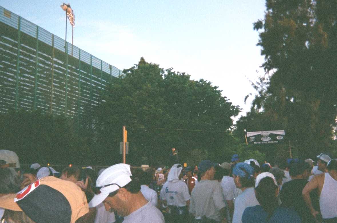
| To my friends and family: American River 50miler (AR50) was my first 50 mile race. I had lived in the suburbs of Sacramento (Fair Oaks/Citrus Hts/Folsom) from 1984-1991. I really appreciated the opportunity to return to the Sacramento-area for my first 50miler. I had been training for AR50 since recovering from arthroscopic surgery on my right knee (in Oct 2001) to repair torn cartilage. My goal was to finish AR50 in under 10hr 30min , to qualify for WS100 lottery. I flew to Sacramento from Houston on the morning of Thursday, April 4th. After claiming my luggage and getting a rental car, I met a friend of mine from Intel for lunch in Sacramento and then headed out to Amador county, east of Sacramento county in the Sierra Foothills (click for photos). . I spent Thursday afternoon visiting Indian Grinding Rock State Historic Park and learned more about the Miwok Indians. Thursday evening I stayed at Sutter Creek B&B Inn in Sutter Creek, CA. On Friday morning I visited Daffodil Hill . Springtime in the foothills is wonderful. Amador, Eldorado and Placer counties had been the "playground in my backyard" for training for bicycle races when I lived in this area. Mid-afternoon on Friday , I headed back to the Sacramento area to pick-up my race packet from the Fleet Feet store in FairOaks. On the drive up to my hotel in Auburn, I stopped off at Horseshoe Bar and ran a section of the AR50 trail. I still needed to make final decision on whether to run in my ASICs or in my Montrail Vitesse shoes during last 22.5 miles of course. After running the same section in both sets of shoes , I decided to use my Vitesse trail shoes. Leaving Horseshoe Bar , I drove on to Auburn and stopped by the Finish Line area. The Finish Line area had already been set-up for the next day's race. Near the finish area, I met another runner who had driven from Southern CA to do AR50. The AR50 Finish Line (FL) is located in an area called "Auburn Dam Overlook". From this area one can look down into the American River Canyon and see the remnants of a dam project that had to be aborted. From the FL I drove to my hotel room which was only a few miles away. Race Day started early... I woke up at 2:45am. I left the hotel with my drop bags around 3:30am and stopped by a 24 hr gas station to get some coffee. I arrived to the Finish Line area around 3:55am. The buses were already there, and we started boarding around 4:05am. On the bus, there was lots of chattering among the passengers. I talked mostly to one of the runners sitting in the seat behind mine. He was from the San Jose area. The bus took us from the FL to the starting line in front of the Running Track Stadium at California State Univ in Sacramento (CSUS). We arrived at CSUS around 5:20am. |
| At CSUS, I turned in my drop bags . AR50 was to start at 6am, still 30 minutes away. While waiting in the restroom line, I spotted my friend Diane Kato from Sacramento. She was one of my triathlon training friends during the first two years I lived in the area. We had gone to Kauai toghether in Dec 1984 to do a triahlon on the island. It was nice to see her again. |
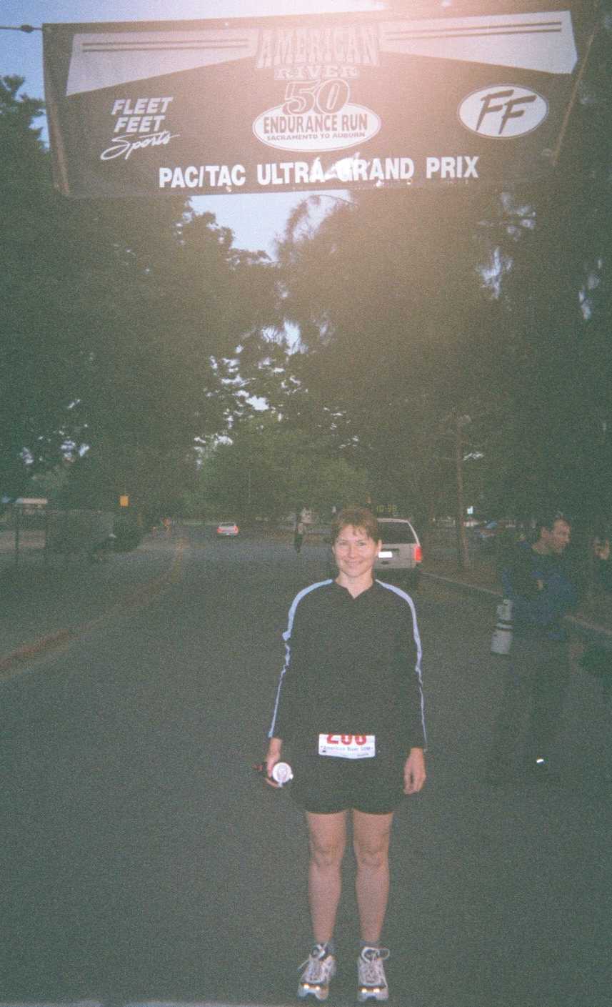
| Photo #1: Linda at start line about 10 minutes before race started. |
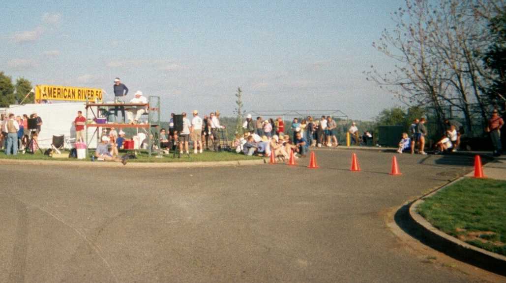
| Photo #2: RD Greg Soderlund speaks into megaphone to announce AR50 will start in three minutes. |
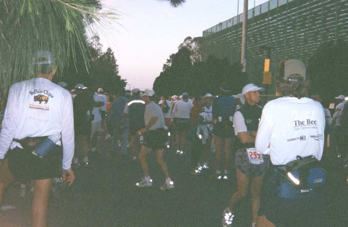
| Photo#3: A view of some other runners waiting for race start. 518 runners had registered, and 459 runners started. (421 runners would finish within the 13hr cut-off) |
| AR50 is considered a trail race because half of the course is on dirt trails/roads. The other 25 miles (primarily in the first half of race) are on asphalt bike trail/road surface. |
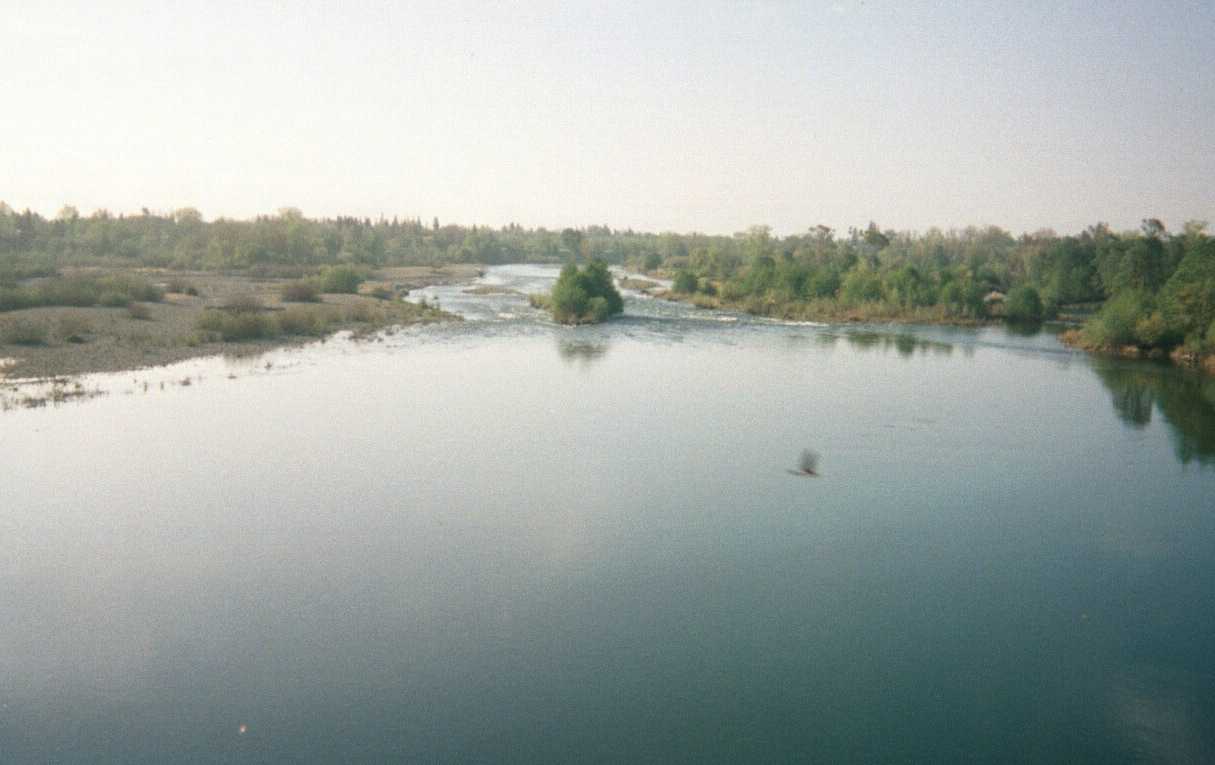
| Photo#4: Leaving CSUS campus, we get a first glimpse of the American River |
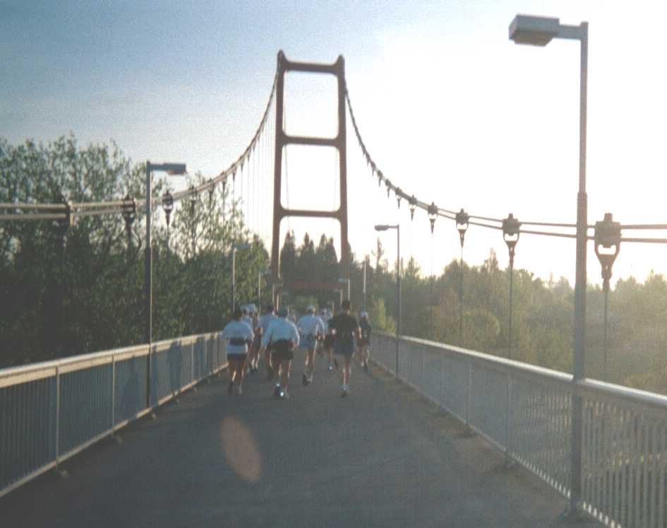
| Photo #5: Our first crossing of the American River on a minature replica of the Golden Gate Bridge. |
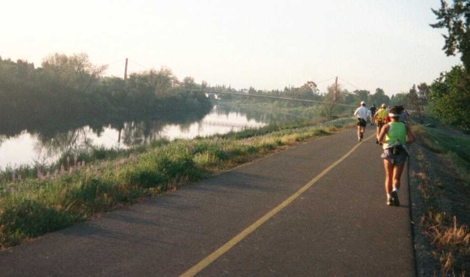
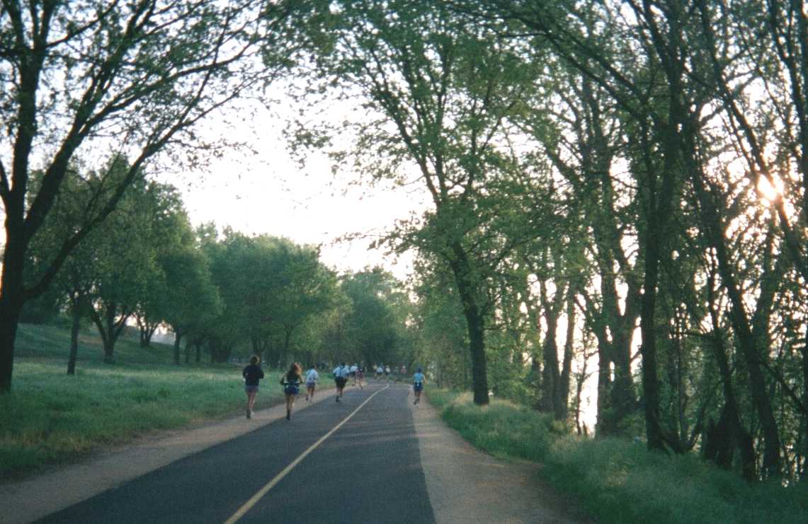
| The first 16-17 miles of AR50 course is fairly flat and is run on the bike trail which winds along the American River. For the first 27.4 miles of course I used the strategy of run 10 minutes/walk 2 minutes. |
| Photo #6: Fortunately there is a dirt shoulder on both sides of the bike trai |
| Photo #7: The sun is starting to come up as we approach another footbridge over the river |
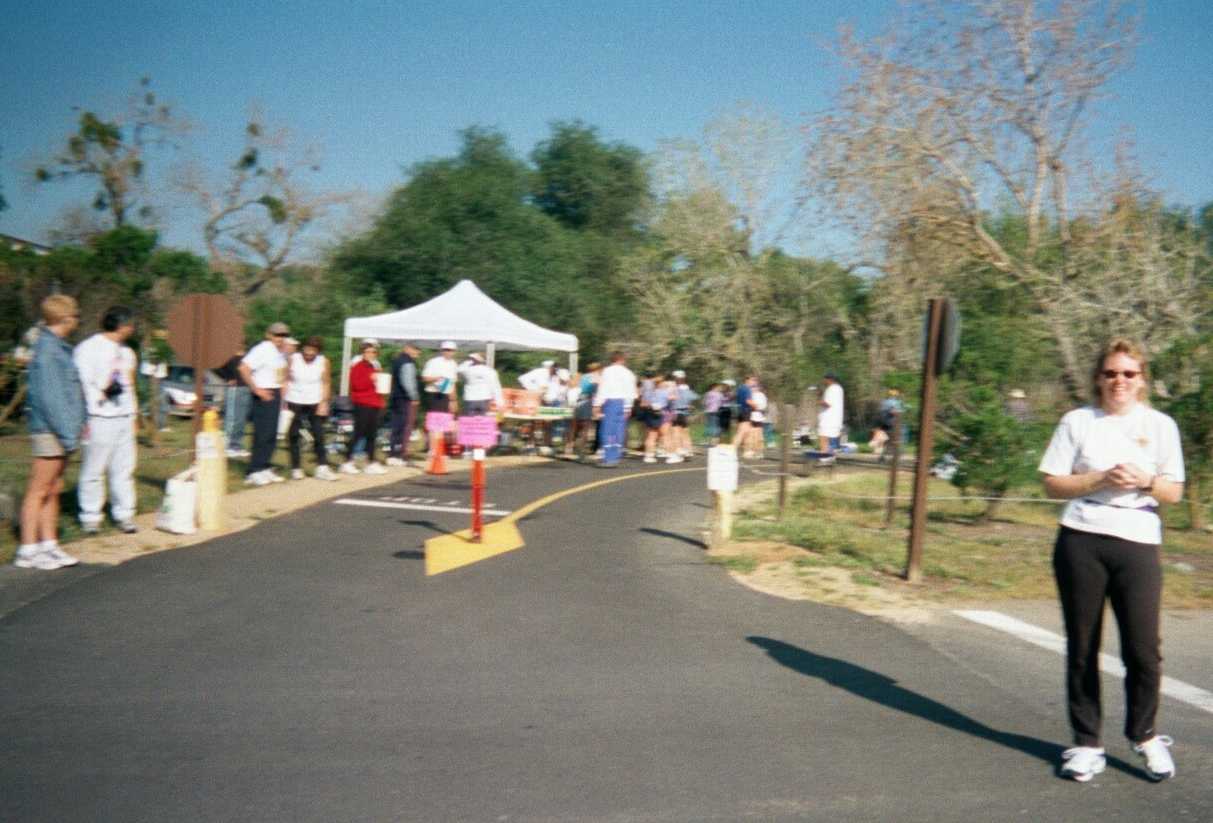
| Photo #8: The helpful volunteers at the Sunrise Aid Station, at 15.6 miles. |
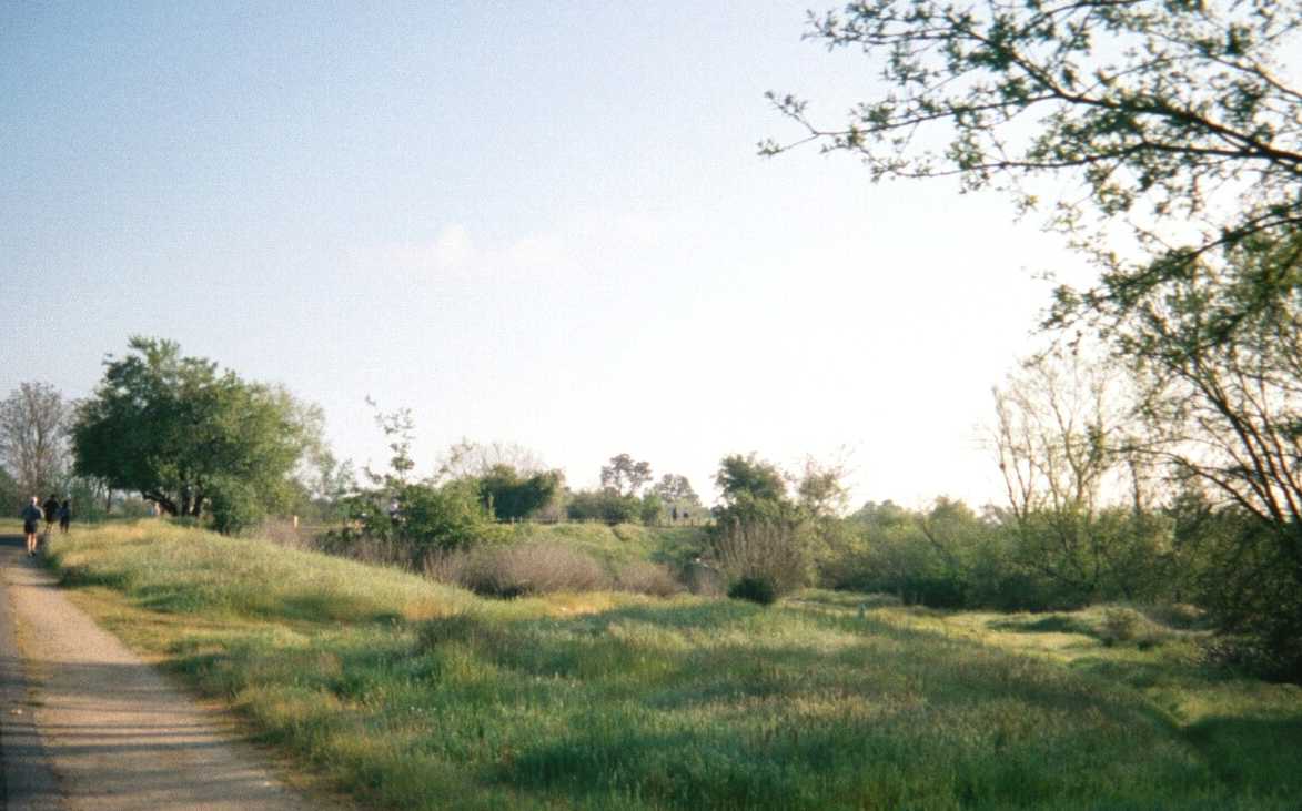
| After crossing the Hazel Bridge , we head towards the bluffs that lookout over Lake Natomas |
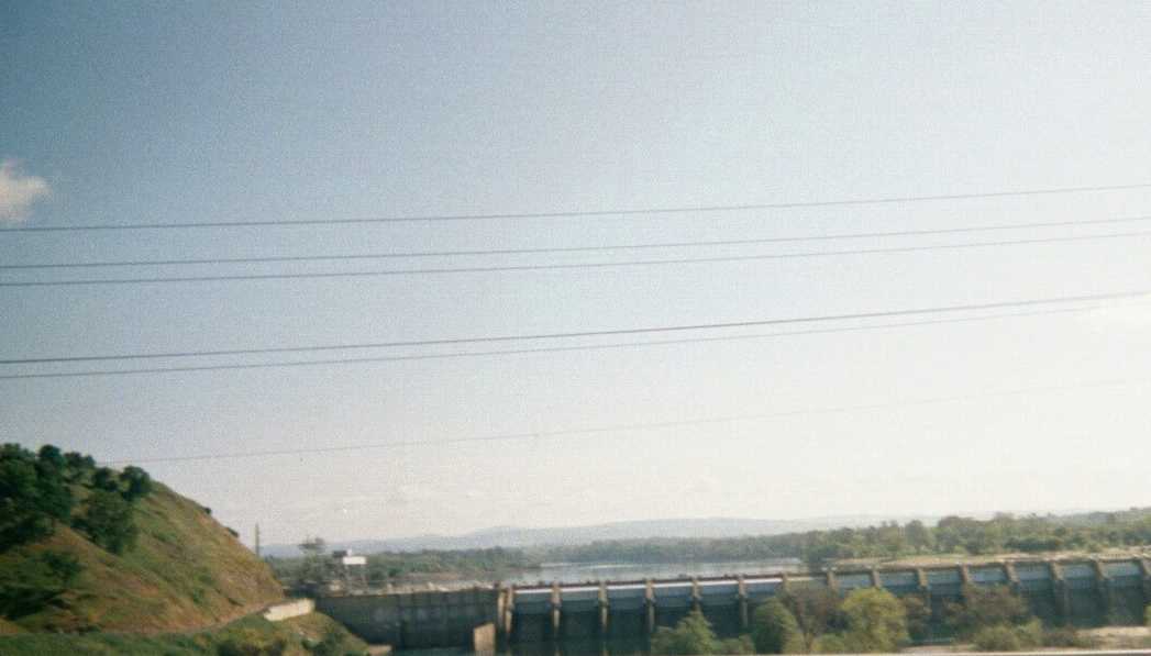
| Photo #9: A view of Natomas Dam while crossing Hazel Bridge |
| Photo #10: On a dirt trail now (yeah!) climbing up the bluffs surrounded by tall grass and wildflowers. I use to run this trail when I lived here. The first apartment I had lived in, is located nearby. |
| Photo #11: A photo of me at the Natomas Dam Overlook Aid Station at mile 19. |
| Approaching the half-way point of the race, we enter into the Folsom area . A dam was built across the American River in Folsom (very near the renowned Folsom Prison). The manmade reservoir that formed is called Folsom Lake. It is now a park and recreation area. I once swam 3 miles in this lake during the 1984 Sierra Nevada Triathlon. |
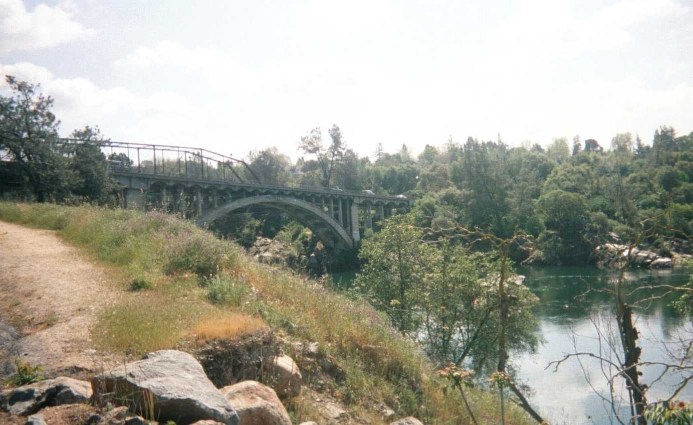
| Photo #12: Old Rainbow Bridge is the entrance into the Historic Town of Folsom on the other side of the River. Rainbow Bridge is about 0.5 mile downstream from the Folsom Dam. We were at about 24.5 miles when we reached Rainbow Bridge... almost half-way. My 25 mi split was 4:35, not too fast and only a few minutes ahead of plan. |
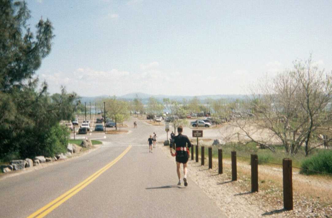
| Photo #13: Approaching the aidstation at Beals Point (at 27.4 mi) along Folsom Lake. Our first drop bags are at Beals Point. I spent about 4.5 minutes at this aid station to change socks, reapply vaseline to both feet, and to change into my Vitesse trail shoes. I am still on schedule and feeling ok. |
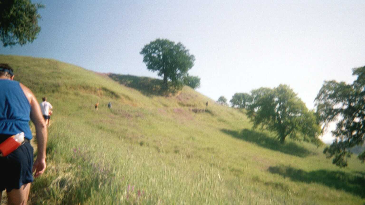
| Leaving Beal's Point, we enter the network of horse trails that stretch up to Auburn (and eventually connect up to the endpoint of Western States trail in Auburn area). This is the best part of the course!. I really miss living here. I did not take many photos between 28 mi and 48 miles because I started falling behind my plan somewhere between 35 and 37 miles (between Granite Bay aidstation and Buzzard's Cove Aid Station). My 50km spilt was 5:46 and I was on schedule and still feeling okay. The fatigue started hitting me after 35 miles. I came into Granite Bay Aid Station at 34.5 miles about 2 minutes ahead of plan, and then came into Buzzards Cove at 38 miles about 9 minutes behind my plan. There was one very rocky section of trail between these two aid staitons that I ended up walking for the most part, because the footing was tricky and I was having some bouts of dizziness (despite taking salt at every aid station... I need to try those electrolyte tablets next race).. In the last 20 miles of the course , I had about 6-8 close calls of tripping and falling. So I took heed. I walked most of the uphills in this section and ran the downhills and flats. I really enjoyed the Buzzard Signs that were posted up on the trail ... I think it was just before Manhattan Bar Aid station. I had wanted to get photos of Rattle Snake Bar and the "Beware of Mountain Lion Sign" (apparently you aren't suppose to pull its tail if you run into one)...... but felt it was best to stay focused and move forward. |
| Photo #14: Had there not been clouds in the mountains the day of the race, the snow-capped Sierras would have been visible in this photo (and in the previous photo). More wildflowers along the course: |
| My worst mile, attitude wise, was around 46.5miles to 47.5 miles. I figured if I kept losing as much time as I had over the last 8 miles that I would not reach the FL until 10:35 or 10:40.. which was 5-10 minutes short of my goal. I reached the 46.5 mile mark at about 9hours, and that left 90 minutes for the last 4.5 miles if I wanted to be under 10:30. I had thought the climb out of the canyon (~1000 - 1200 ft) did not start until after Last Gasp aid station (A/S) , but to my surprise there was a very steep trail section (I estimate between 20% and 30% grade) for about the half mile before Last Gasp A/S. There was some very serious trudging in this section, and thus I lost a few more minutes. After Last Gasp A/S, the remaining climb was at a gentler grade of about 9-10% , but it took a good half-mile for my legs to recover . I hoped that if I could run-walk the last 2 miles of the course like a treadmill hill workout, it would be possible to gain back some of the time I had lost. (Interesting to note that in Sierra Nevada Endurance Race & Rio Del Lago 100 courses, a dirt trail is taken up towards the Auburn Dam Overlook area instead of the old gravel road). |
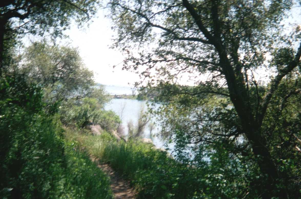
| Photo #15: A view of the lake from the trail somewhere between 34 and about 43 miles. |
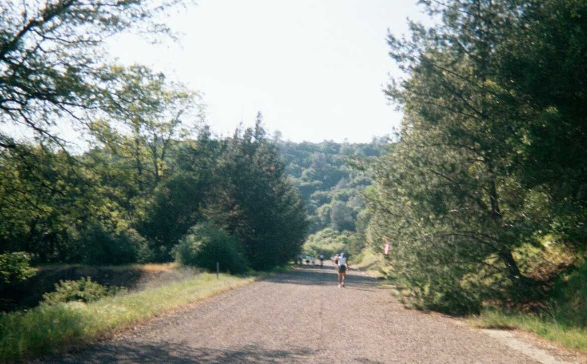
| Photo #16: This photo was taken somwhere near 48-49 miles. After Last Gasp A/S there was a slow 9-10% grade up the remainder of the canyon on an old gravel road. |
| Photo #17: One last section of uphill ....only about 0.4 mi to the FL... and my watch says 10:16....I may be trudging along and covered with crusted salt but I am going to make it to FL in under 10:30 !! |
| Photo #18: The finish line is in sight....just stay to the right of the little orange cones! Norm Klein (sitting on elevated platform), is assisted by a spotter with binoculars, as he announces the name of each incoming runner. |
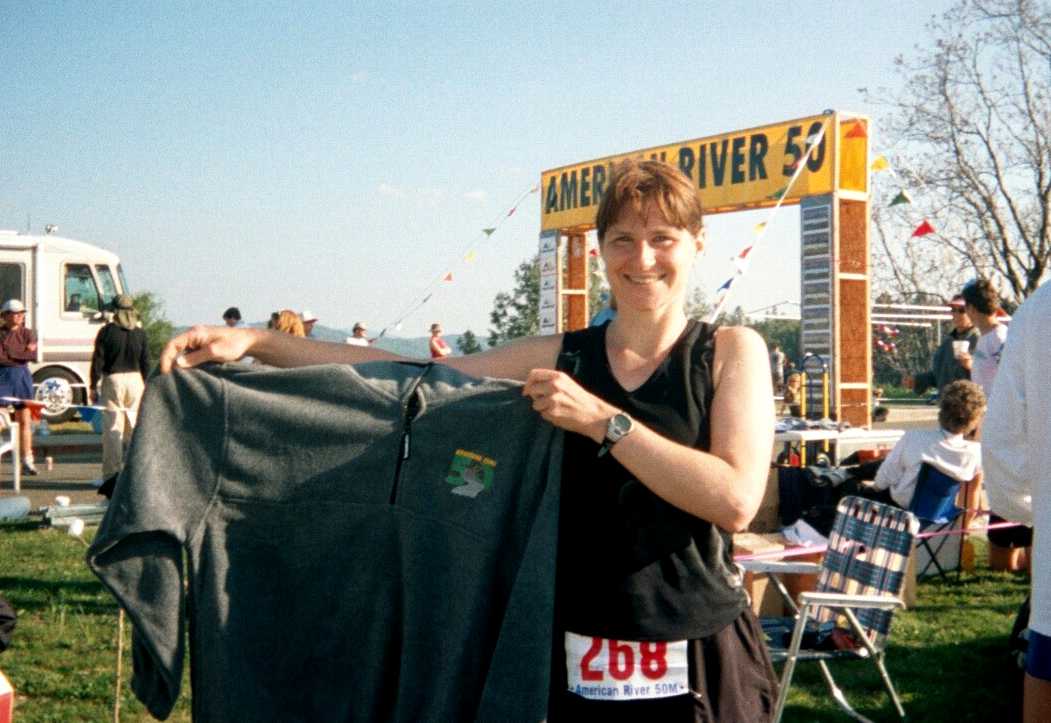
| I crossed the FL at 10:20:58 ! I was very happy. Brightroom Photography photographed the runners crossing the finish line: my photo. The race was a lot fun and was very well organized ... kudos to the race director, assistant RDs , and all the volunteers, and other runners. We were fortunate to have dry weather (in 2001 there was rain, hail, and muddy trail conditions).... but the temperature did get very warm , up around 80 F in the afternoon Given the knee surgery in Oct 2001, and my 3 longest runs prior to AR50 being 31miles (Sunmart 50Km) , ~27mi (SNER relay), and Crosstimbers 25 mile , I am very content with my effort at AR50. I learned a great deal from this first 50miler, and hope to apply what I learned during the BigHorn 50 miler in Wyoming in mid-June. |
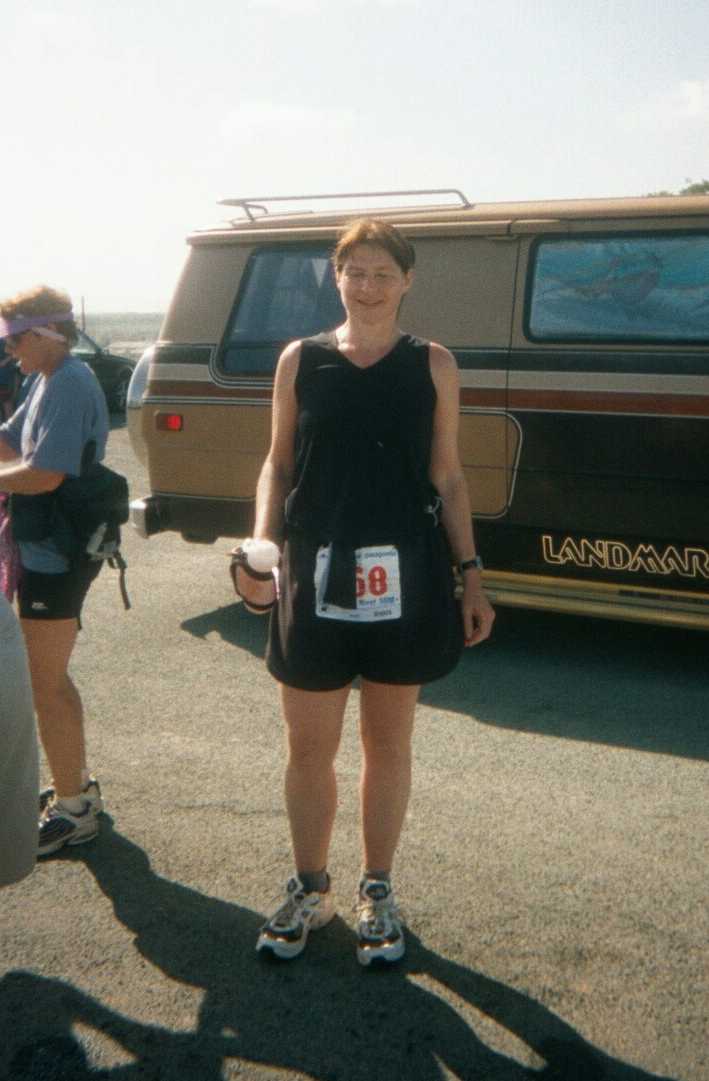
| Photo #19: About 5 minutes after crossing finish line, I had my photo taken with my finisher's jacket. |
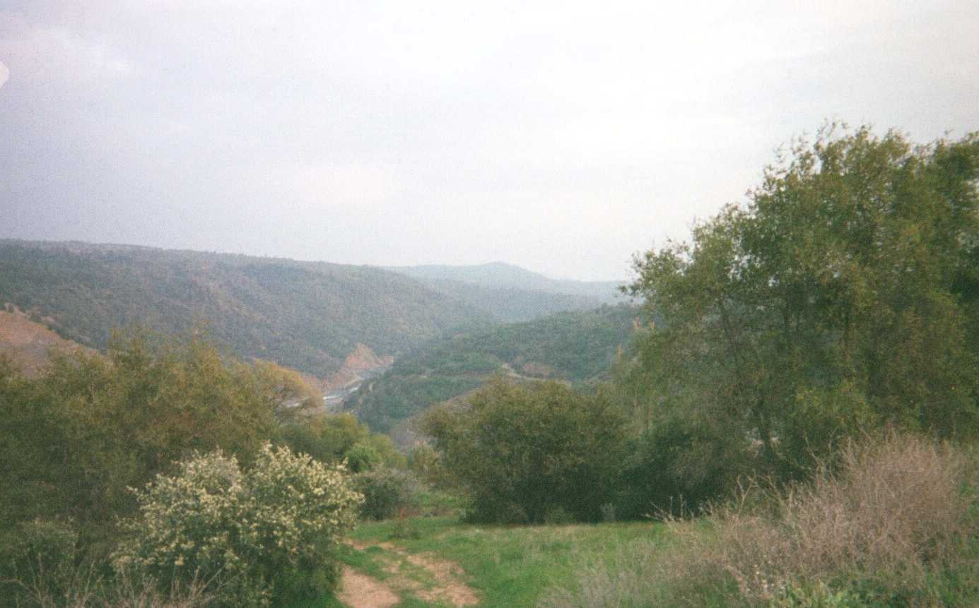
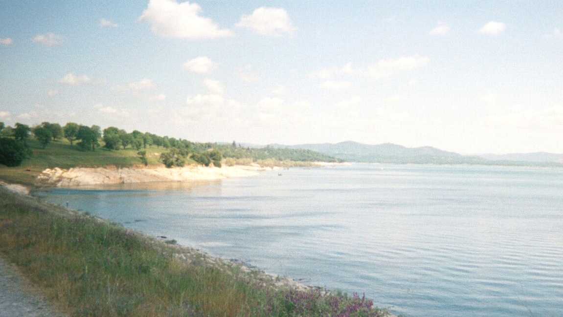
| Photo #20: A view of the American River Canyon from the finish line. This is the canyon that we climbed out of during about the last 3 miles of the course. You can see the water of American River to the left of center in the photo. |
| THE END |
 |
| The next day I went in search of snow (see photos ). I drove up through Nevada City (the site of Nevada City Classic Bicycle Race held every Father's Day. I did the race in 1985), Downieville, Sierra Valley, and returned through Taylorville in Plumas County , enroute to Chico. In Chico, I stopped by the Sierra Nevada Brewing Company and purchased a BigFoot T-shirt. |