
Welcome!
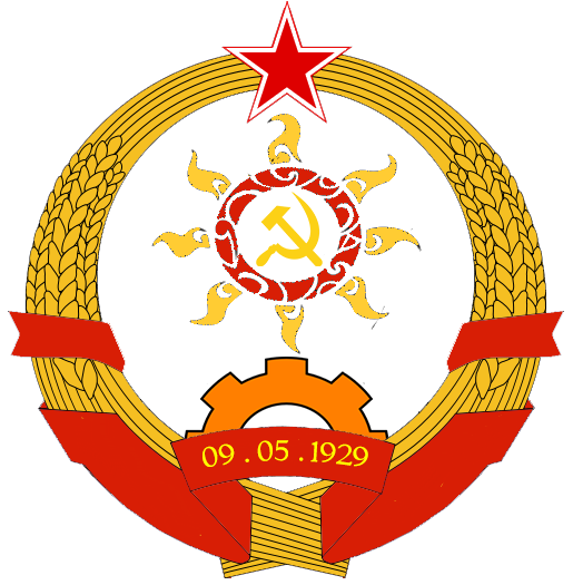
 The Democratic Commonwealth of Lirueia is an island nation situated in the northeast portion of the Pacific Ocean. Due to its strategic position and geographical proximity to Asia, it has been colonised by European powers, namely Spain and Great Britain. After centuries of colonial domination, it eventually gained independence in 1901 and became a socialist republic in 1929 when the workers and peasants under proletarian revolutionary leadership managed to topple the tyrannical military junta.
For much of the Cold War, it has been dubbed as the "Cuba of the Pacific", closely allied with the Soviet Union and the Eastern Bloc until a crisis in the 1970's resulted in a major overhaul of its socialist political and economic system and shifted towards a more independent approach to socialist construction and eventually survived the end of the Cold War. From then on it went on to be an obscure Pacific island to one of the more significant and influential nations in the Asia-Pacific region, with a robust socialised economy and a formidable military force.
Updates from the Joint Task Force on the Coronavirus Outbreak (JTF-CVO)
Issued on August 09, 2020, 12:00nn.
As of today, the total number of persons infected stands at 643, with 122 recoveries and 58 deaths. Viral tests conducted on 115,042 persons total as of yesterday, with 61 tested positive for infection. Cities/Towns on full lockdown until 10 Aug: 3 - Wayamaya (Northern District), Amaraul (city-wide), Doufai (Ntuku District).
By the recommendation of local school assemblies of primary and secondary schools, and management councils of all colleges and universities, the start of the academic year shall be further postponed until further notice.
Read More »BASIC FACTS AND FIGURES
Official state name: Democratic Commonwealth of Lirueia (LRN: Damoukratau Dalukar Liru)
Location: North west Pacific Ocean, bounded by the Philippine Sea in the south and located near the Ryukyu Islands and Taiwan
Area: 21,557 sq. km. (8,323 sq. mi.)
Population: 19,862,430 (2019 Census)
Population Density: 921 inhabitants /sq. km.
Capital: Doufai (national capital), Aiur (seat of government)
Languages: Lirueise (official), a language mix of Micronesian and Polynesian; English is the official language used by the Central Government
Religion: Christianity (Church of Lirueia, Roman Catholic, Evangelical) - 90%, Islam - 6%, Uksaka (native folk religion) - 2%, Other religions (Hindu, Bahai, Jewish) - 1%, Atheist - 0.8%
Currency: (L$) - Lirueian dollar
Climate: Sub-tropical; moonsoon season from June to September, dry summer from March to late May
Local time: GMT +9 Lirueian Standard Time
Government type: Unitary state; socialist multi-party coalition government
Head of State: Asmara Esera, Chairperson of the Executive Council (since 2015)
Head of Government: Marko Raua, Deputy Chairperson of the Executive Council and Chairperson of the Council of People's Commissars (since 2019)