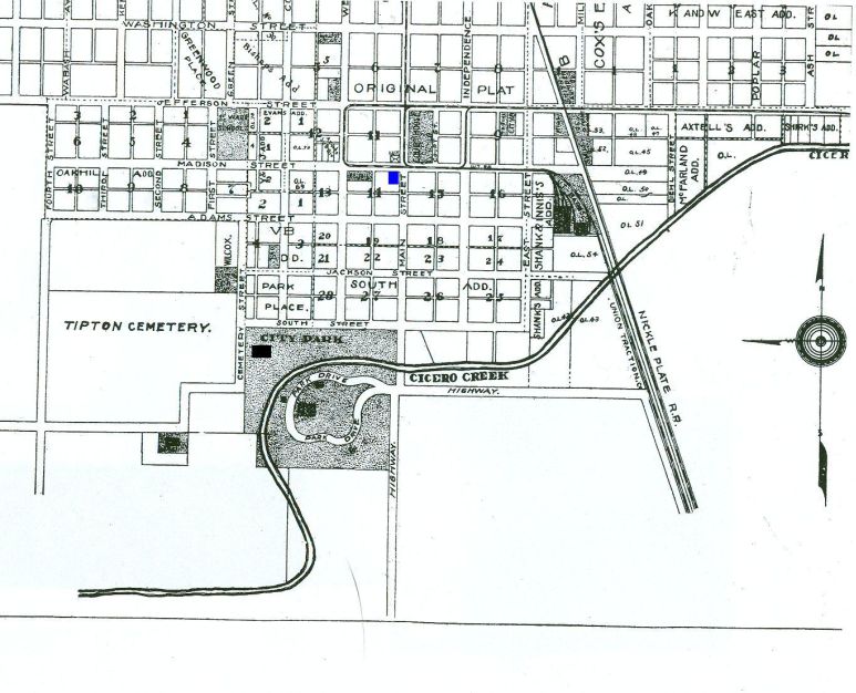
| This is a partial map of Tipton, Indiana. The blue square is where I believe John and Mary were living along with Ruth Ann Young and her husband Moses Parker from April 1859 to January 1861. The black square is where I believe they were living from January 1861 to March 1861. | ||||||
|
||||||
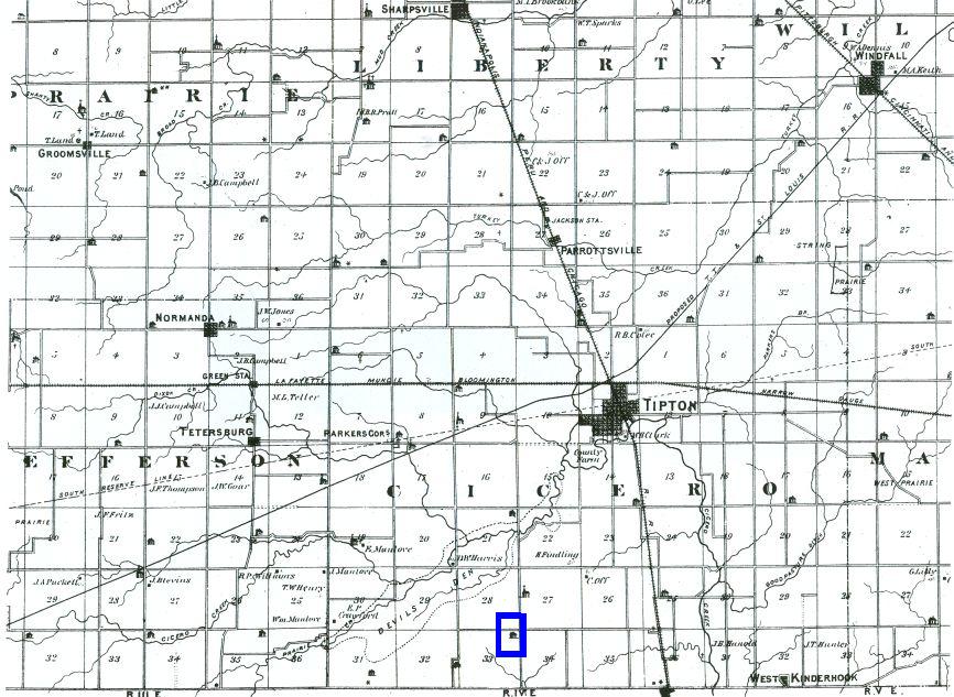
| This is a map of Tipton County showing where John and Mary lived from 1850 to 1859. The blue outline on the map indicates the location of their farm. | ||||||
|
||||||