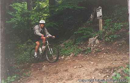
| Trail Description: | Trail (technical) | |
| Best During: | April to November | |
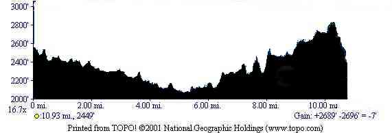
| Trip Distance: | 11 miles | |
| Ride Time: | 2 to 4 hours | |
| Elevation Gain: | 2689 ft | |
| Overall Rating: | Skilled |
|
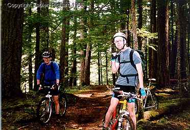
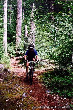
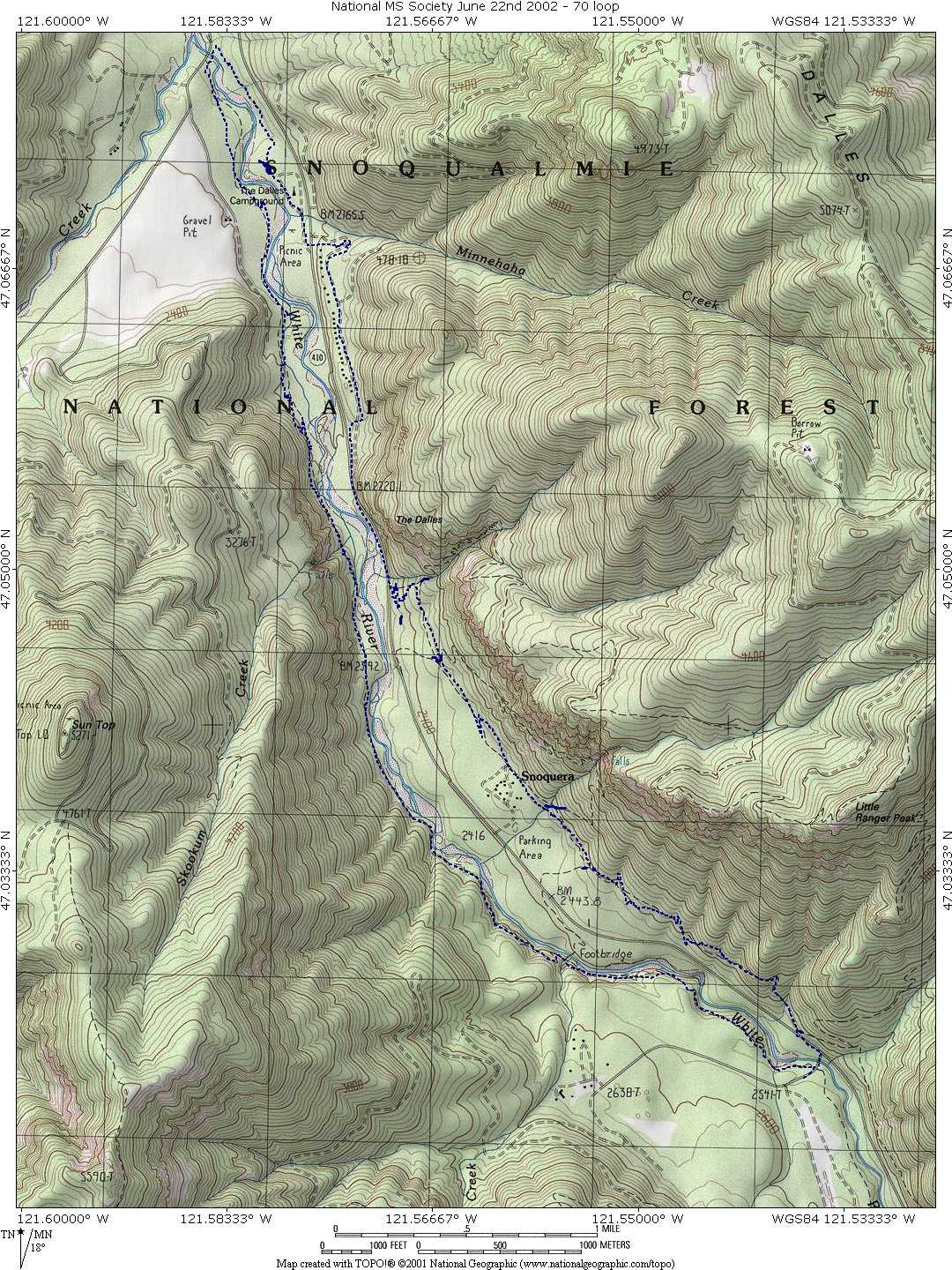
This classic ride has long been a favorite testing ground for mountain bikers. This 11 mile is the perfect training ground for the novice biker looking to improve, or for the experienced biker attempting to "clean" the toughest sections. If you want to ride it better, here is the map and the Topo! waypoints. |
| Drive Hwy 410 11.7 miles from the town of Greenwater. Turn right on road #7160 and park on the other side of the bridge. This trail log has been design to fit on a Cycoactive Bar Map OTG. |
| 0.0 | Find the trailhead on the north side of road #7160 (near the bridge). Trailhead elevation 2,600 feet. The trail will waste no time getting technical so you may want to warm up a little where you parked. |
| 0.2 | Trail joins from the left. Stay to the right. |
| 1.2 | Trail crosses Buck Creek. Cross the bridge and then turn left heading uphill. |
| 1.5 | Trail divides. Stay right. |
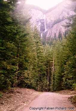
| 3.3 | Bridge crosses Skookum Creek. Can you here the falls? If it is late summer, probably not. |
| 4.8 | Reach a jeep road. Cross road and find trail on other side. Continue on to a 2nd road following it until you find the trail heading off to the right. If you get lost in this section don't worry. Just keep heading north whichever way looks best and you will make it out to road #73. |
| 5.5 | Trail emerges onto road #73. Go over the bridge, then take the trail. Follow it until you arrive to the campground. Once at the campground, find the exit and take the road right across the street. It will climb into a "residential area". It wil bring you back to the Hwy 410. |
| 7.3 | Stay on Hwy 410 for 0.5 miles then take the trail on the left and climb for 0.13 miles. Take the first trail on the right (buck creek trail) |
| 7.6 | Pass an intersection, the trail on the right goes back to Hwy 410. |
| 8.4 | Arrival at camp Shepard (Marked Snoquerta on the map). Continue straight. |
| 8.70 | Cross a trial on your left, stay on the right side and continue on Buck creek. |
| 8.95 | Stay on the left and continue on Buck creek for 1.1 mile. |
| 10.05 | Highway 410, be careful crossing it and get back to the parking lot. |
This ride can be found in either John Zilly's book or Tom Kirkendall's books
Back to the Best trails in Western Washington.
Or back to the top.