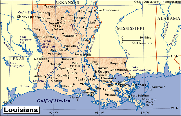
word of the day Chisarai (goodbye) Topic: Understanding the physical differences between Louisiana and Zimbabwe Activity Time: 1 class period Materials Needed 1. atlas 2. globe (several globes if possible) 3. drawing paper, pencils, crayons 4. blue yarn 5. blackline map of Louisiana one demo one for each pupil 6. blackline map of Zimbabwe one demo one for each pupil 7. one big book for each child Objectives: As a result of this activity, the learner will: identify the physical differences between Louisiana and Zimbabwe locate several bodies of water in both places Introduction: 1. Display a map of Louisiana and Zimbabwe 2. Ask pupils to identify certain features of each place, for example, Louisiana has a coast and Zimbabwe doesn't 3. The teacher will ask if the pupils know about the Mississippi River Major Instructional Sequence: 1. Teacher will model gluing a piece of yarn to represent the Mississippi River 2. Have pupils glue a piece of yarn on the blackline 3. Ask pupils to locate other rivers or other bodies of water on the atlas and globe in Louisiana and Zimbawe 4. Explain that Zimbabwe is on high ground and have students put their map of Zimbabwe on top of the book and leave map of Louisiana flat on the desk and compare heights Closure or Evaluation 1. Let pupils color them their maps Table of Contents |
| Lesson Three |
 |
 |