 |
 |
 |
 |
 |
 |
 |
 |
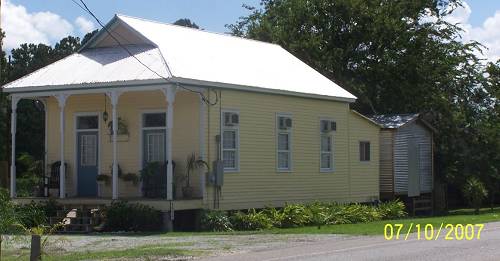
| 24 is a good road across the swamp. It may ride a natural levee in part. I think it was built on trucked in soil in most places. There's not much along its way. The light at Bourg was a welcomed sight. The yellow home was near there. |
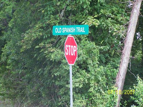
| After riding through Houma Hell, I finally reached the corner of La.182 and La.20. I had missed this sign which reflects the original name of US 90. Read about it HERE |
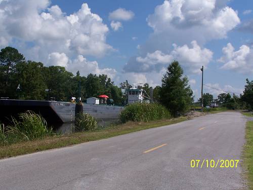
| Let's do the few available miles here. Big barges at road level are a common sight in South Louisiana. I read somewhere that Houma was at 12 feet above sea level. At that height, it is a virtual mountain in the marsh. |
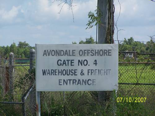
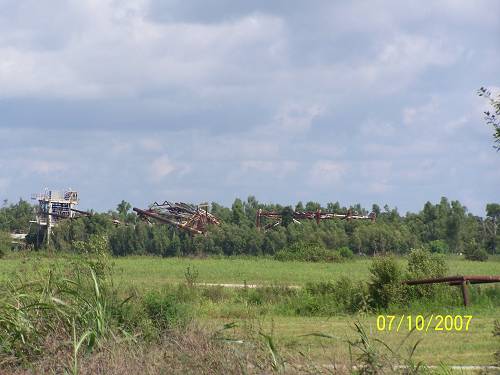
| Approaching Amelia, the old Avondale site sat south of old 90. A history of the company can be found HERE. |
| From the shape of the grounds, it seemed like Avondale was history. Not so. |
| The present status is not clear to me. What is? |
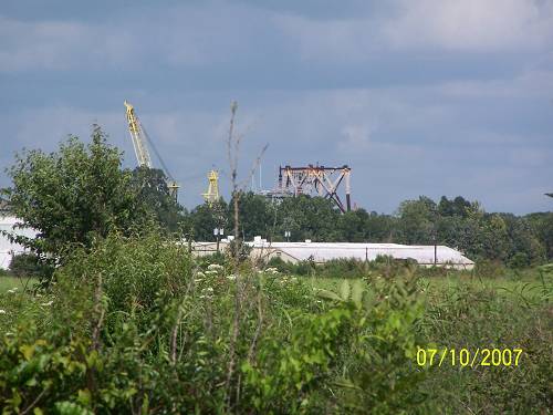
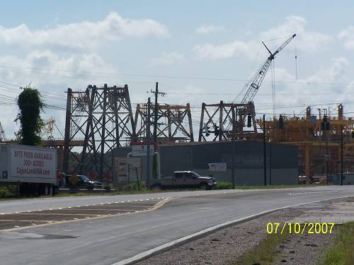
| Entering Amelia, these are the normal roadside attractions. Huge offshore tools stand ready for dispersal. |