 |
 |
 |
 |
 |
 |
 |
 |
 |
 |
 |
 |
 |
 |
 |
| Common as rice. |
 |
 |
 |
 |
 |
 |
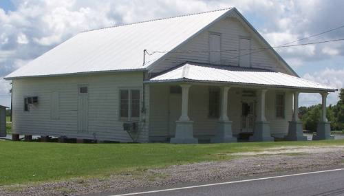
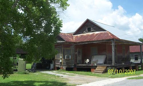
| I was on La.1 and needed to get on 308 since I saw stuff across the bayou. Below might now be a church, but it was a store in the past. I'll bet. |
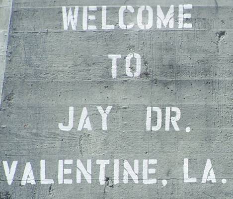
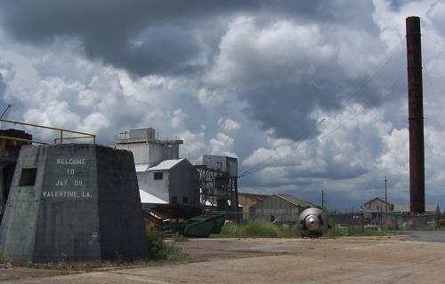
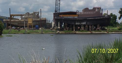
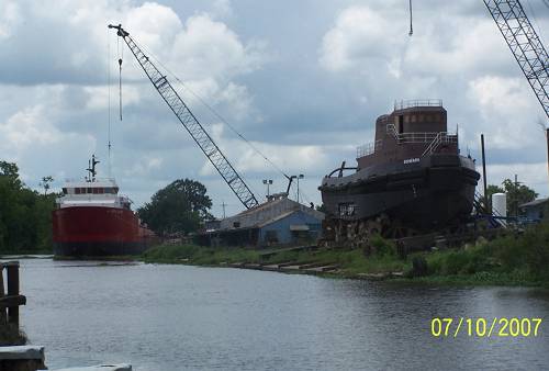
| This had been a mill. It was something different now. A large industrial business was to my right. It might have been Valentine Paper. If so, it is indeed a specialized business. |
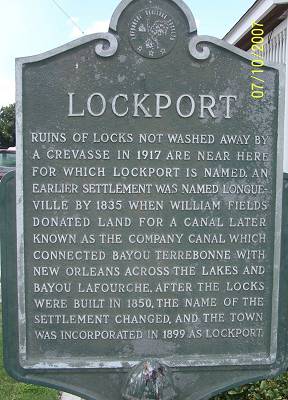
| Next was Lockport. You may see that the file name on these pages is "Lockport". That's because I was really impressed with this little town. La.1 travels around the edge of Lockport. It is full of history and beauty and extreme interest, at least to me. As was pointed out to me by a resident. Lockport was named for what it was. Follow along. La. 1 leaves the bayou. There is a big, "Do Not Enter" sign where the road did go. That would be where I wanted to explore. I followed La. 1 to the south side of town where it rejoins the bayou. Then I turned north headed into the encircled neighborhoods. |
| I rode with Bayou Lafourche to my right. I found the old downtown. Mercy, I was in a gold mine. |
| I couldn't find a link to the museum but here is the Town's Website. |
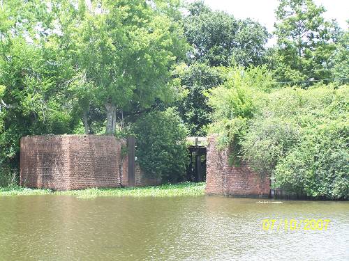
| From the towns website: " Lockport, founded in 1835, traces its history to Jacques Lamotte, who in 1790 owned a large tract of land along Bayou Lafourche. Lemotte sold a portion of the tract to Messrs. Mercier and Marcantel in 1814. In 1823 William Field purchased a parcel of the land and later donated 5 arpents of it on both banks of Bayou Lafourche to Barataria and Lafourche Canal Company. As part of the transaction, the company agreed to build a canal, which would link Bayou Terrebonne to New Orleans. Allou D'Hemecourt surveyed the area in 1835. His map bears the name Longueville. Eventually, the village's name would become Lockport. At first the canal, completed in 1847, brought prosperity to the area. Three years later locks were completed at the point where the canal reached Bayou Lafourche. Shipping along the canal was brisk until 1868. After that time, part of the waterway was no longer in use. The crevasse of 1876 partially destroyed the locks. Today remnants of the brick bulwark are still visible under a blanket of weeds". |
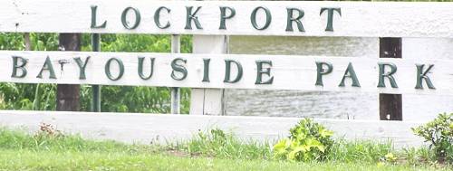
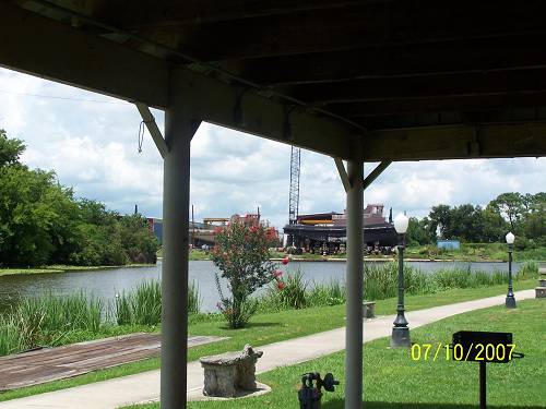
| This is a beautiful little park. Some local gentlemen had evidently gathered to eat lunch. Seeing me, they ceased their conversation which was in French and said hello. We struck up a conversation. Before we had finished, I knew the complete history of Lockport plus where to eat. In my kind of work, it doesn't get any better. |
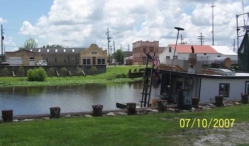
| Above is my restaurant of choice. Not a bad view. There was a 10mph cool breeze. This was what the doctor ordered. |
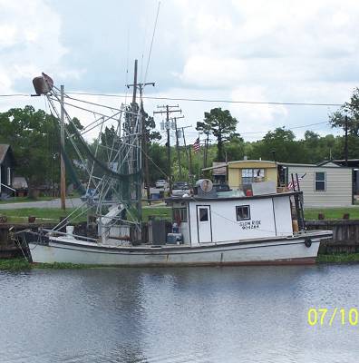
| The name of this shrimper is "Slow Ride". I reflect on the song by Foghat. Perhaps the skipper had also. R-rated lyrics HERE. |
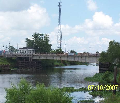
| I crossed the bridge. |
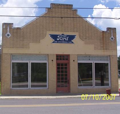
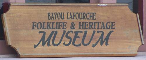
| That's the Slow Ride. There's the Ford Place and Museum across the bayou. |
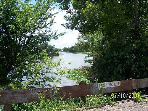
| I pulled onto the bridge that crossed the old canal. This is looking back at the park. |
| This is looking east up the old canal toward Lake Salvador which sits below New Orleans. You can read about the canal HERE |
| I wandered back into the neighborhood. |
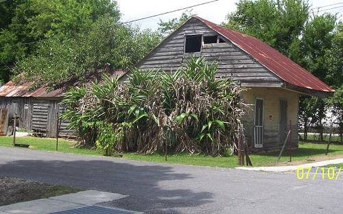
| It was like riding into a museum, again.Those are banana plants. |